This was my 3rd summit while over in Bend area for Central Oregon S2S party.
I had activated Pine Benchmark and Pine Mountain earlier in the day and I drove from there. I took NF-2017 from the Observatory down to the valley. However, that road is in very poor shape and high clearance is needed if you go that way. (If starting at the Observatory, travel time going back to Highway 30 to Road 23 is likely similar to taking rocky NF-2017 south).
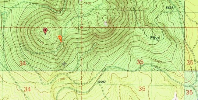
Take Road 23 (Sand Springs Rd.) to about milepost 24 and from there go west on NF-2269 about 2 miles to an unnamed spur road for about 1.4 miles to park near 43.6274, -120.8974 (marked "P" on map below). A GPS turn-by-turn should take you right there. The summit is about 0.15 miles NW from the parking spot - an easy stroll through the manzanita. Road 23 is Priusable and the last bit should be okay in a carefully driven passenger car.
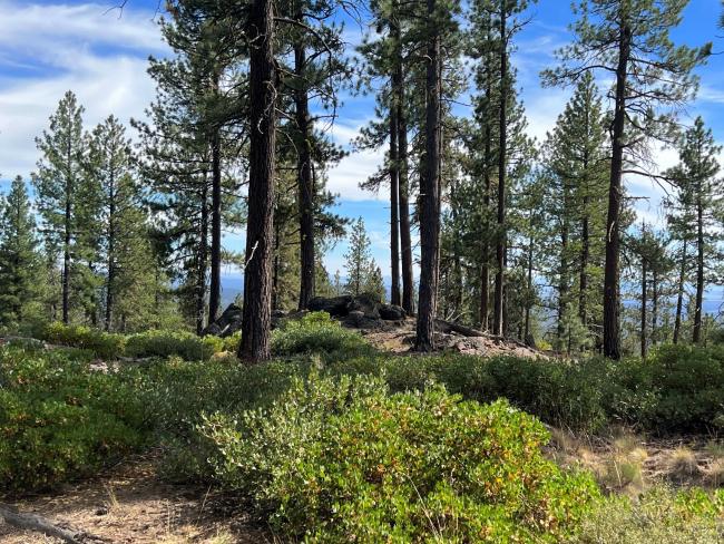
The summit has an open area surrounded by trees which made raising EFHW very easy.
Etienne K7ATN and Roland K7FOP were up there earlier in the day and it made for a complete.
The pathway home lead towards Highway 20 so if you came that way directly, it would be no problem.
This summit pairs nicely with Fox Butte (W7O/CE-091).


