Cady Mountain, W7W/RS-084 has been on my radar for a while. My wife's family owns a home in Friday Harbor so I have always wanted to activate this summit. I was bummed by ATN's report that it would be difficult to activate from the south side because of private property, so I did not think I could. I arrived here on Saturday and I started looking at GAIA GPS. I could see there was public property owned by the San Juan County Land Bank to the north of the summit that was still in the AZ. I could see a hiking trail just below it. I decided to give it a try.
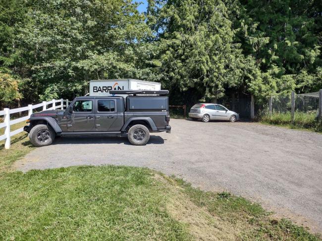
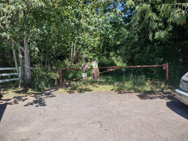
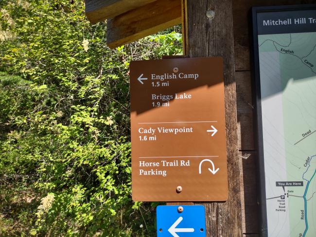
The trailhead is off West Valley Rd at Horse Trail Rd.
Directions: From the town of Friday Harbor take N 2nd St which turns into Guard St which turns into Beaverton Valley Rd which turns into W Vally Rd about 3 miles to Horse Trail Rd. Turn right and the trailhead is there.
A note on cell service, I had spotty service with Verizon but it was coming from Canada so be careful if you don't have a service plan for that.
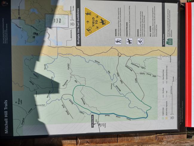
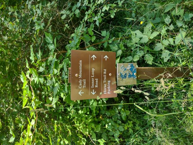
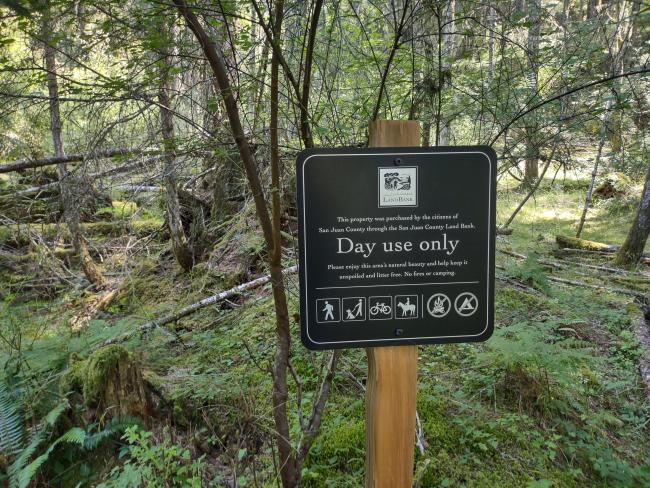
Take the trail to the Cady Mt Viewpoint ( I never saw the viewpoint), go past the viewpoint. Distance is about 2 miles one way. You will come to a sign for the San Juan County Land Bank, you are close from here. About another 100 yards up the trail and you have to turn right up the hill and do some bushwhacking to get into the AZ. I did see some orange surveyors tape around and I assumed that past that was the private property. I setup just next to it. My suggestion would be to be quiet on this one. I was about 100 yards from the house on the summit (I could not see it but I know it was there).
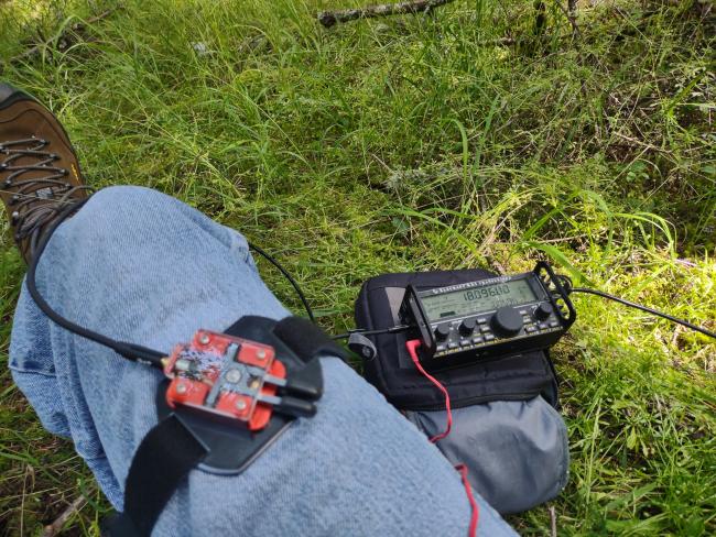
My activation went well, I started out on 20m. First in the log was Pat K7GUD with a s2s on W7I/ER-079, Bishop Mt. I called him and he came right back!. Band condux was good. I called CQ on 20m and got 6 more. Then switched to 40m and only got WU7H Josh. Then on 30m I got KJ7LLS Clint. I moved around a bit but the mosquitos were killing me. I switched to 17 meters and got a couple but I could not take it anymore. I was being eaten alive! I packed up and headed back to the truck.
Overall this was an easy 2 mile hike with about 100 ft of a bushwhack up a hill at the end. TAKE BUG REPELLANT if you do this in the summer! I recommend a GPS or cell Ph with mapping to make sure you are in the AZ and do not cross onto private property. Be quiet and respectful of private property owners so we can keep using this summit.


