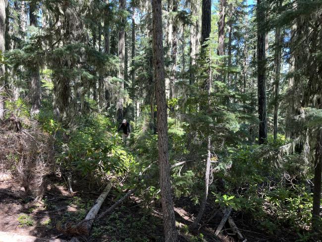
Pig Iron Mountain is a drive up good gravel forest road plus a half mile light-to-moderate bushwhack through rhododenrons. As such it's reasonably easy enough to reach, though no view at the top to particularly recommend it compared to other local peaks.
We found no pigs, iron or pig iron. Totally misleading peak name. There was just a bunch of bushes. Maybe they are pretty assuming they flower in the spring time. Dunno. YMMV.
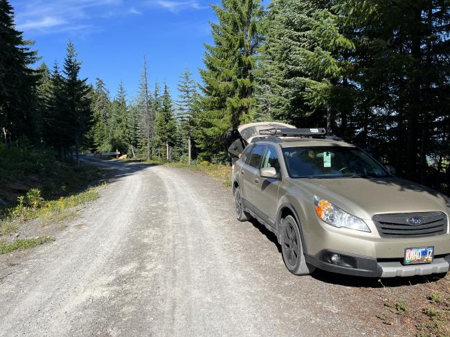
Directions: Off of HWY 138 take forest road 4780. Turn onto on Pig Iron/National Forest Development Road 100 and follow this until you're about a half mile from the peak on the north side. This was also where there was a gate blocking the road (but where we wanted to stop anyhow). There was a generous shoulder where you could probably fit about 3 cars without blocking the road.
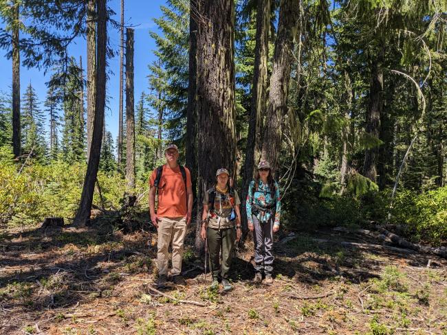
There is no trail, you'll need to use GPS to find the peak. It was pretty easy IMO. Myself, KK7DAK and KK7IUD took the shortest path on the way up through the bushes and followed the deadfall on the way down. We tried to find the old forest road shown on Gaia maps under "USFS classic" but it was totally overgrown.
The peak is forested with no view; there is clearing enough to set up antennas for HF if so desired via mast or tree. We had no trouble getting 2m contacts as it was W7O campout weekend and we got plenty of S2S, but I strongly suspect it would have not been possible otherwise on that band.


