This would be a great activation on a mountain bike - the single track looks like a good time. On busy weekends hikers might be outnumbered by bikes - however, for this early fall, late evening activation I saw no one on the trail. The trail is about 4.1 miles one way with about 0.3 miles of that cross country and 1300 feet of elevation gain. Here is a map of the trails in this area.
Paulina Peak and North Paulina Peak are in the Newberry National Volcanic Monument - you might consider a double activation of these two. There is an admission charge or Forest Pass required. The trailhead is just over one hour total travel time from Bend. Head south on Highway 97 for 23 miles and then go east on Paulina Lake Road about 13 miles. Park across from the Visitor Center - there is a picnic area and toilets there. Although there could be good backpacking opportunities for overnight camping on the summit itself this parking lot is day use only. There are campgrounds around Paulina and East Lakes and along Paulina Lake Road.
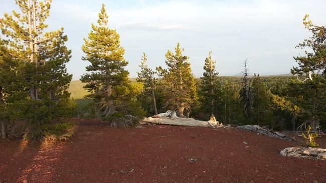
The trail starts across the bridge on the outlet to the lake to the west of the parking lot. It is well marked as the Crater Rim Trail. In dry weather the trail will be dusty and soft in places and if you are hiking, I imagine that you'll want to keep an ear and eye out for mountain bikes coming down the trail. When you are about 0.3 miles from the summit after about 3.8 miles of hiking, look for the trail curving above a meadow. Don't be tempted to go cross country earlier - this easiest way up is worth waiting for. The summit itself is a lovely spot, even if it has limited views. There is a good choice of operating position and lots of ways to set up antennas with convenient trees or open space and easy to stake ground.
The map below shows Parking lot indicated by a P and the summit with a Push Pin.
Note that there were decent APRS digi echos from the summit but none from the trail using a quarter wave whip and 5W.


