New (and Improved!) Lake Butte 6260 W7O/NE-264
There are three options for getting to this peak.
Priusable road: Hike 4.2 miles RT with 900 ft elevation gain.
High clearance 4x4: Hike from a hunting camp 2.75 miles and 700 ft elevation gain.
High clearance 4x4 and willing copilot: Hike 1.75 miles and 500 ft of gain
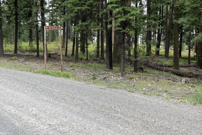
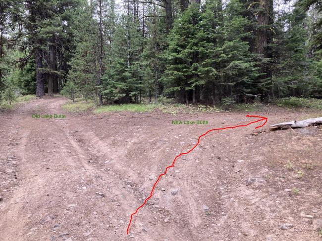
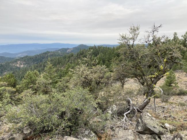
We took door number two.To start get on US 26 between John Day and Prairie City. From there turn North on county road 18 also signed as Keeny Creek Road. Follow this mostly paved and then splendid two lane gravel road to 44.5871, -118.9032. This is NF-279 also know as the Nipple Butte Trail. (Note that it does not go to Nipple Butte. If you want Nipple Butte look here: http://www.pnwsota.org/blog/wj7wj/2019-july-15/nipple-butte-oregon-july-... ) This is the end of your Prius drive. From here either start walking or have a high clearance 4x4. In either case stay on 279 until you encounter a fence with a gate at 44.5815, -118.9188. Shut the gate after walking through it and turn left to follow the fence line. The trail parallels the fence all the way to the summit. The trail is a pleasant forest walk with a lot of ups and downs. The trail is in the activation zone as it passes under the summit, but you will want to cross to the south side of the summit for some views. The top is a thicket of young trees, but it is not too difficult to get around or find a path through. Lots of opportunities for various antennas on the south side as it opens up a bit and there are snags and fence posts for attaching a pole or trees for stringing wires.
This would make a nice mountain bike ride with all the ups and downs.


