I received some pointers from Anne, K7AHR, they were crucial to getting there as the map and mapping software suggested turning up the west bank of the Salmonberry River. That road is replete with no trespassing signs.
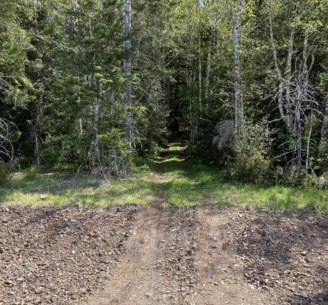
To get there get on the Nehalem River road from US 26. Proceed to 45.7361, -123.7292 and turn up the road. This road goes to 45.7088, -123.6160 which is the start of the hike up an over grown jeep road to the top. It is less than a mile round trip and less than 500 feet of elevation gain.
Now the bad news. When Anne did this peek the main road was the main road. When I was there they were logging at the time. Some of the “main road” was torn up by skidders and cats and some of the spurs were improved for hauling. So following the main road was problematic. I made several wrong turns. Unfortunately I do not have turn by turn directions, so my best advice is just to allow extra time for some exploring.


