Route
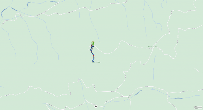
Here is a link to the route we (KC7JNU, KK7DAK, KK7IUD) followed to and from the peak as well as additional data; there is a screenshot below of the same route. As can be seen, we started and ended our route to the north of the peak. Note that our route returning from the peak to the vehicle more closely followed the original quarry trail which is now much overgrown. Along the north side of the peak along NF-170, you'll eventually find a large cutout in a cliff that is nice to park within. If you do so, in another few feet along NF-170 you will find the much overgrown entrance to the quarry trail leading up to the peak.
Getting to the trailhead
There were some large, fallen branches, gravel, and some divots on the road leading up to the where we started our hike on the north side of the peak. I suspect you could make it up fine during the same time of year as us (Summer) with a 2WD vehicle with lower clearance, but we took our 4x4 Subaru Outback with 8.7in ground clearance and that was ideal.
Trail Experience
This was a bushwhack. We were stabbed many times by foliage on the way up, which we noticed were growing angled toward the hiker on the way up, but means that on the way down is angled away from the hiker and easier therefore to navigate.
The old quarry trail still exists but is heavily overgrown, making it difficult to follow at times. We deviated from this path multiple times in order to navigate the existing foliage more easily.
This activation occurred during the 2023 W7O SOTA campout. Unlike other activations, most of our VHF contacts on this peak were back at camp in the Diamond Lake campground rather than the various peaks within the Crater Lake area. It was more difficult to reach the latter contacts from here.
Distance (round trip): 1.74mi
Elevation gain/loss: 435.0 ft / 428.0 ft


