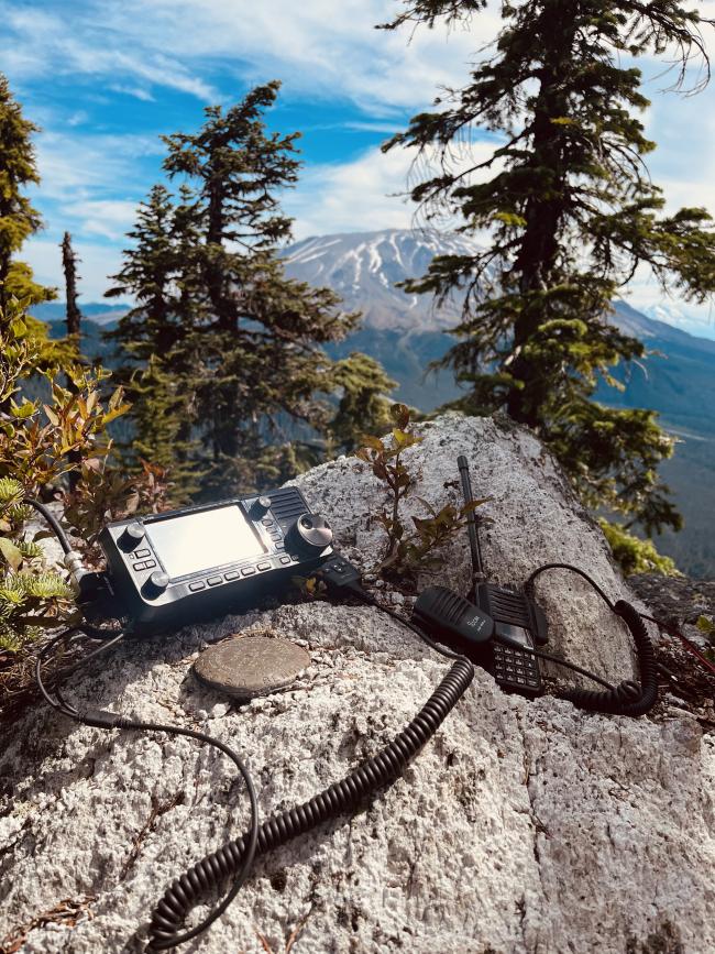
Update July 2025:
I noticed this trail on my first hike and again on my second ascent. I decided to give it a try on the way down. It avoids the false summit and saves a little time.
http://www.pnwsota.org/content/goat-mountain-w7wlc-035-better-trail
Goat Mount is a nice steep ridgeline hike. The total distance from the trail head is just over a mile with an elevation gain of 1500 feet. The peak is line of sight to much of Portland, so 2m contacts were plentiful. There are many nice trees for HF antennas.
Driving is not bad, except for the last 0.4 miles. This section has a wash out and lots of overgrowth. Without a high clearance vehicle, I recommend parking at the last junction and hike the 0.4 miles to the TH. Here are the direction from SR-503:
- Left on 81 @ N46.04201° W122.31052°
- Right @ N46.13934° W122.33304°
- Right @ N46.14505° W122.33431°
- Right on NF8117 @ N46.16841° W122.33714°
- Park or Right on NF470 @ N46.16554° W122.31242°
- TH @ N46.16035° W122.31203°
The path is easy to follow with numerous orange markers, which seemed odd until we met a hiker that said this is a county high point. From the TH, head through the brush and follow a path to Fossil Trail. Turn left and take this for about 100 feet until you see a gully and trail on the right. From there just follow the trail up. The only trouble we had was around 4700 feet where an orange marker was on the ground on the south side of the ridge. We ended up scrambling on hands and knees using bear grass as hand holds. Here is my GPS track from the way down which has the good path:
http://www.pnwsota.org/content/gps-goat-mountain-w7wlc-035
Jeff
WX7OR


