Hike: 2 miles RT Bushwhack
Elevation Gain: 500 feet
There are eight Round Tops in Oregon although two of them add another word to the name. This one is a few miles north and a bit east of John Day Oregon as the radio signal flies.
To get there, turn north from US 26 on Keeny Creek Road, AKA FR 18. Get to Four Corners (44.5404, -118.8427) and turn left (west) on good gravel road FR 36. Proceed to FR 544 at 44.52833, -118.88636.
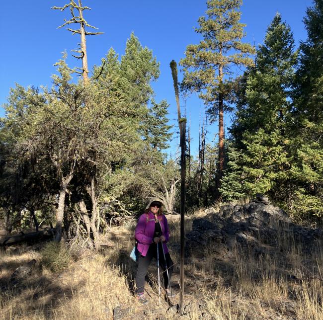
With a small SUV or more off road capable vehicle you can drive one mile and 300 feet of gain to 44.5181, -118.8899. This is the start of the bushwhack. The hike is mostly through open forest and presents the usual logs to step over and walk around. The activator will also encounter a "bob waar" fence that needs to be crossed. The top is mostly open with enough trees and other structure for antenna deployment. There is a weird structure at the top, that looked like it might make an antenna support, but seemed a bit frail. Make sure to mark your car location as this is a ridge walk, but the ridge is quite broad and there is a split that might deflect on the way back.


