6.5 miles RT with 1100 feet of elevation gain from the pavement. I suggest this is where you start. None of the track is steep, but there are some steeple chase logs and at one point the road was so over grown we lost it.
We drove up one mile from the paved road, but it is very overgrown and required all eight inches of my ground clearance and a complete disregard for the outside finish of the vehicle's paint. Also, folded in the mirrors, one "automatically" and one prophylacticly (If you don't break a mirror every once in a while, your not really trying;). So, walk from the pavement.
Here is our route:
Start at the skid road off of NF 42 (44.9886, -121.7956)
At (45.004, -121.7956) take the left fork (This is where we parked)
At (45.0105, -121.8022) bear right.
At (45.0109, -121.7892) turn left.
Somewhere near (45.0176, -121.7961) start bushwhacking to the top.
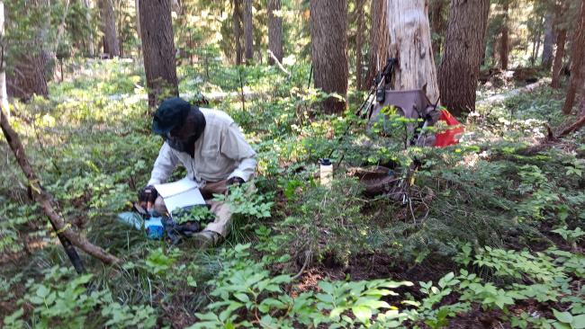
The top is treed and has no view. It did have a pestilence of mosquitoes though, so we made our activation short.
Note that when we got to the left turn at (45.0109, -121.7892) the road improved considerably. It still had some steeple chase but was never obscure. This turn is an intersection with another road off of NF 42. That road starts at (44.99188, -121.76435). Note that if I where to do it again I would try hiking up that road as it is shorter and at least seemed to be in better shape. Maybe you could even drive a ways without breaking anything:)


