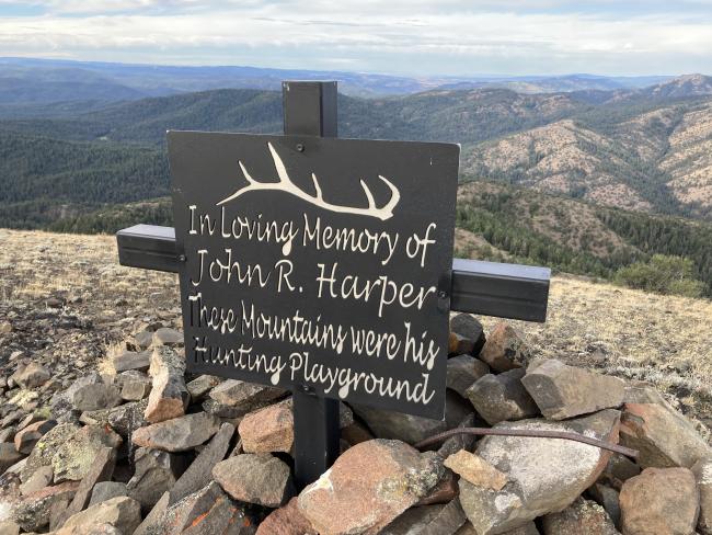
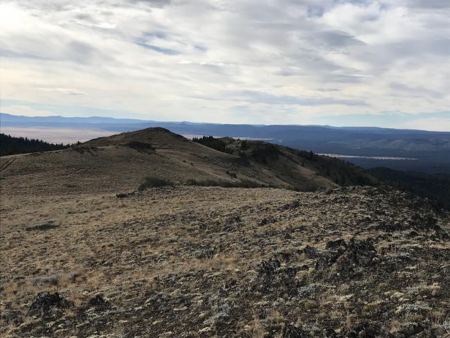
Ingle Mountain is a six point summit near Mt. Vernon Oregon. It is a little over 4 miles round trip with a total elevation gain of ~1100ft, but it seems a bunch more. That is because net elevation gain is only about half of that. So one keeps seeing false summits followed by saddles followed by false summits …
The trail starts at 44.2947, -119.1235. This is the end of the road and the start of an ATV track that goes to the summit. Summit has a sturdy marker on top for pole anchor if you don’t think it sacrilegious. I didn’t ponder the question too long as the wind was fierce so I dropped of the summit proper to the lee side of the hill.
I though this would be a much more difficult summit to access until I found this on peak bagger:
https://www.peakbagger.com/climber/ascent.aspx?aid=1681076
Driving Directions:
Turn off of US 26 onto Laycock Cr RD (aka Co Hwy 49) at 44.412928, -119.073417.
This is paved for a while and then becomes good gravel.
Stay right at 44.3275, -119.0776, still on 49
Left at 44.2920, -119.0969, still on 49
Bear right at 44.28661, -119.10019 onto NF 845. Note road degrades from here.
Bear Left at 44.2976, -119.1024, and note that this is the road to Coal Pit Mtn “trailhead”
Park at 44.2947, -119.1235


