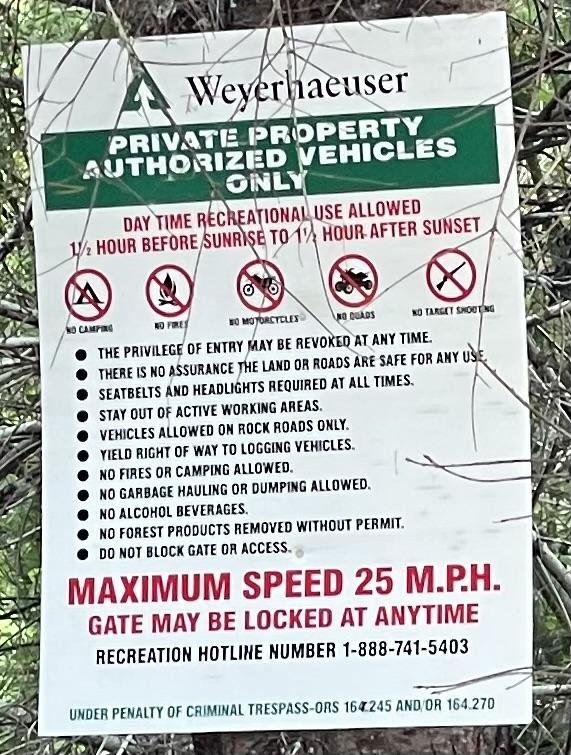
In the past (and for a prior writeup), this summit was off-limits as part of a leased club parcel. Maybe Weyerhaueser couldn't find any clubs to lease it, or just changed their mind about how they wanted to manage the land, but it has ceased as a lease and become open to public access. It's a bit of a drive for one point, but a unique nonetheless.
Drive: distance to Mcminnville plus 16 miles
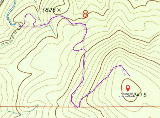
Hike: 1.45 miles with 800' gain one-way
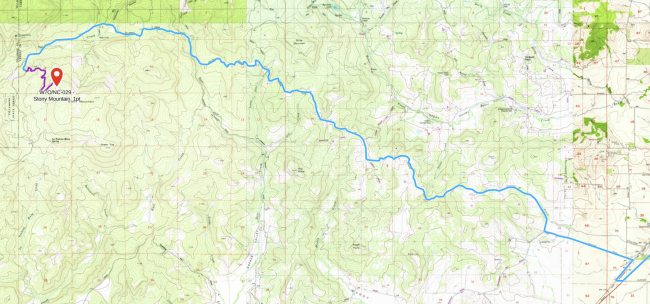
GPX routes uploaded to sotamaps.
Map your way to "11400 SW Durham Ln, Mcminnville, Or". From almost wherever you are, this will get you along Hwy 18 to the turn. By using this address as your first stop, the route will go along viable roads. Google maps in particular wants to send you down roads that are gated if you try to route directly from west Portland to the final coordinates.
- Turn off Hwy 18 to Durham Ln westbound
- In one block, turn right onto SW Old Sheridan Rd
- After 0.5 miles at the next junction, turn left onto Peavine Rd
- Remain on Peavine road for 16 miles
- Park at the road triangle, (45.236975, -123.460267)
- Mapping from the Durham Ln addres and ending at the above coordinates will give you the correct route
- The road goes from paved to gravel about halfway out of Mcminnville, but is fully driveable in a passenger car
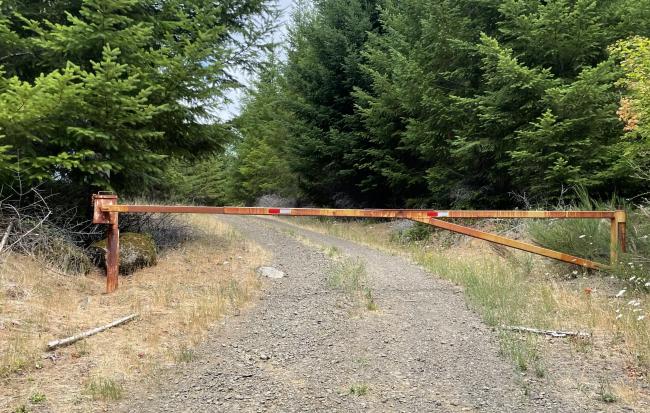
From the triangle/gate, begin hiking. The route has a couple of forks but is largely the obvious path up, a GPS/map is probably a good idea. It's all a logging gravel road, largely exposed. At the top of the hill, the road splits in three ways and enters forest cover; proceed up the center. Just a few hundred feet into the forest, the road is fair game AZ. Setting up in the middle of the road works well enough, the canopy doesn't completely cover here, and there is space for antennas while staying strategically in the shade.
On a map, you'd think this summit is so close to Sheridan Peak that you could do them together. Unfortunately because of the way roads and property lines route, you can't get there from here. Pair this peak with Parrett instead.


