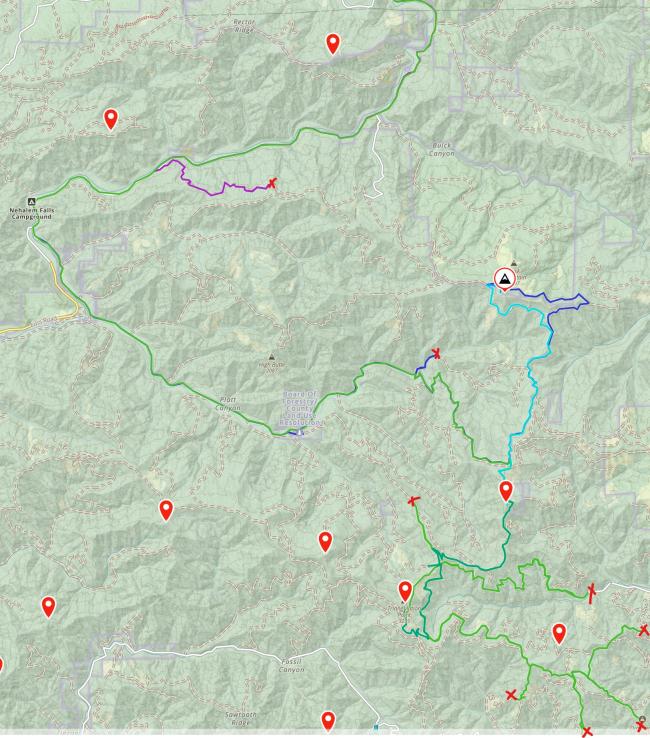
UPDATE: the instructions given by Bill WJ7WJ in A Good Hand of Pinochle are still accurate. However, when I was up there last week, there were several trees that had blown over the road and only some of them had been cleared. I had forgotten to bring the chainsaw and they were too thick to cut with my bow saw.
So I had to continue south on Foss Rd until Cook Creek Rd (45.70149736711394, -123.75199821505376) and from there take the other end of Tin Shack Rd on up (turn right at the T, the left is a dead end bridge out).
This added another 20-30min to the trip.
From Pinochle, I then activated 3401 W7O/NC-067 and Triangulation Pt W7O/NC-005.
Unfortunately, I was unable to find the right road south to Cedar Butte W7O/NC-018. There was one locked gate that might have been the road.
I will check from Hwy 6 going north to confirm this.
There are many, many small roads that lead nowhere so please be sure of your route before you go and take more than one map and GPS to confirm where you are.


