I recently had the occasion to spend some time in Northern Idaho and while there I activated this summit.
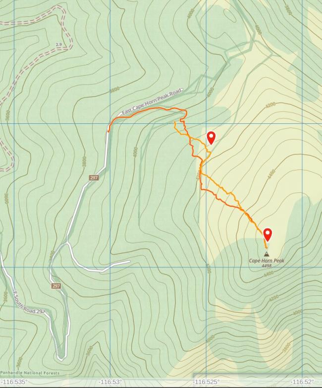
The road up to the summit starts from Hwy 95, heading East on Hwy 54 and North on N Perimeter and East again on Bayview Rd to N Cherokee Rd and north following that up. N Cherokee Rd is also shown as FS 297 on Google Maps. The road condition is not great with many ruts down the middle. I had to straddle the ruts in many cases. A high-clearance vehicle is probably required.
I parked at 48.000031, -116.529975 mostly because there was a large pond in the road by continuing and I didn't feel like possibly getting stuck. There is a spur that head to the right there which I took for a while and then bushwhacked uphill.
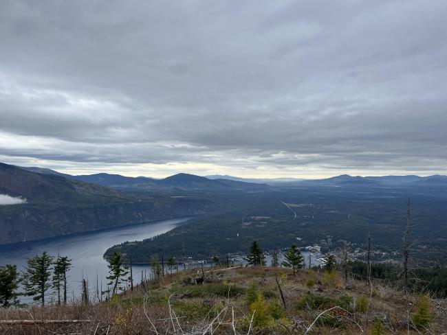
At some point, I reached another logging road and used that for a bit before continuing to bushwhack. The summit has been clearcut and there are many boot/game trails to follow uphill.
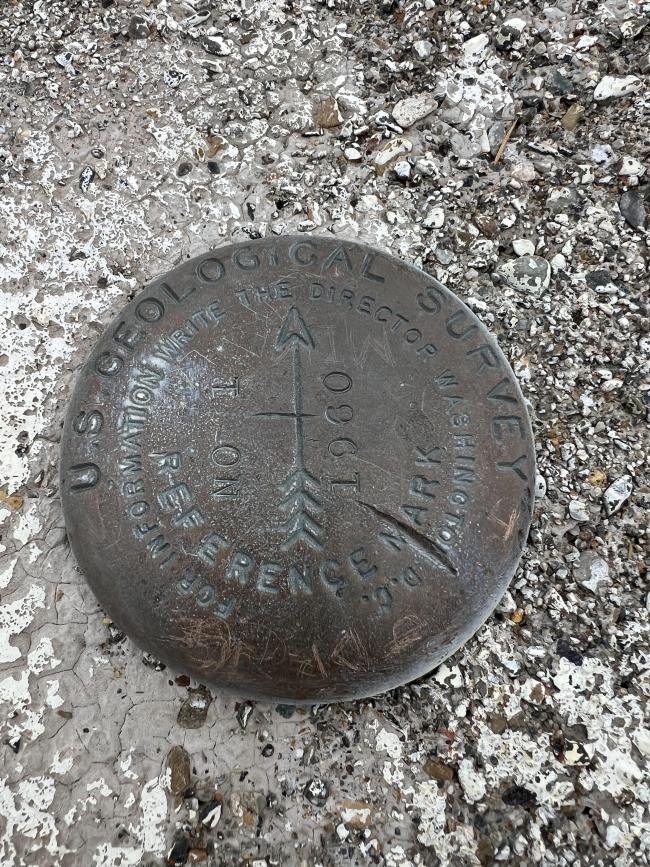
On the summit are the foundation blocks for a long gone firewatch structure. I found half a tree sticking up to which I attached my Spiderbeam and EFHW.
Once on the air, I was able to quickly make quite a few QSO. The propagation conditions were probably enabled by the solar eclipse earlier that morning. I was able to work France and also Spain for the first time on SSB.
The weather had been threatening to drip on me and the wind picked up a bit so I wrapped up and headed down.
A second easy summit nearby is the Little Blacktail Mountain (W7I/NP-138). See my trip report here.


