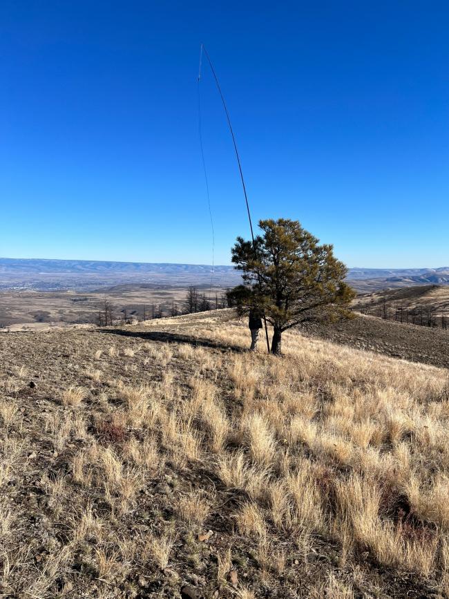
For Thanksgiving this year, we drove to Yakima to visit with family and the day after my Dad and I drove up to Rattler Benchmark. Starting in Selah, we took N Wenas Rd turning right on Sheep Company Rd up to where it turns (46.778909, -120.563142) to become Bell Telephone Rd (going straight eventually leads you to Gracie Pt aka W7W/CW-096, see my report here). This is a goat trail with many ruts and requires steady nerves and high clearance. Fortunately, my Dad has both. This road eventually joins Ridge Rd at the top.
Note that this is Washington DNR land and thus requires a Discover Pass which can be purchased online the same day if you forgot yours.
We finally made it up to the "No Motor Vehicles Beyond This Point" sign at (46.867300, -120.658971) and hiked an easy 1/4 mile up the hill.
No sign of the benchmark at the top after poking about so, sorry, no picture. There was one usable tree at the top to tie the fiberglass pole and run up the EFHW. Contacts were quickly made and logged.
After draining off all available QSOs on 40m and 20m, we headed on to Cleman Mountain (W7W/MC-050). Ridge Rd continues on behind the ridge and eventually turns into Game Dept Rd and comes down on N Wenas Rd again.
NOTE: Google Maps will insist on sending you on N Wenas but north onto Black Canyon Rd. HOWEVER, this turns into a hiking trail so unless you wish to add several miles of hiking to your plans, do not let Google do that. This also applies to the trip back down. I tried to get the fine folks at Google to fix this but they denied my request.


