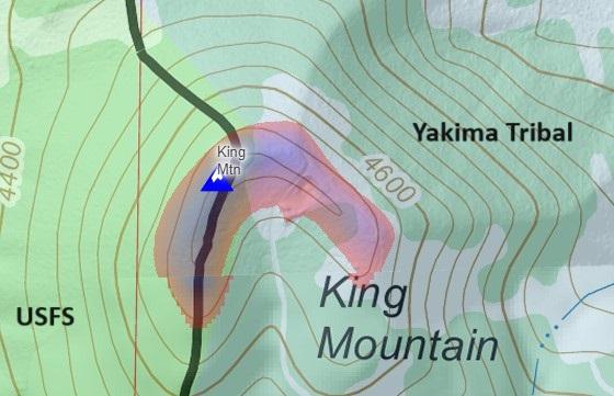
USFS-Yakima Tribal lands bisect this summit. Activate to the west to be on USFS properties. See the attached map. Beautiful views of Mt Adams to the north but an exposed summit, i.e. can be windy.
Directions: Navigate to Trout Lake, WA then to the Smith Butte Sno-Park (46.07841, -121.45351) via FS82 road. Turn east on FS8200-200. This road narrows for 2.0 mi but is Prius-able until 46.06498, -121.41751 where the access road becomes a Jeep track for 1.2mi to the summit with heavy rutting and big drainage berms. Definitely hi-clearance and at least AWD for this last section or hike the last 1.2 mi/600 ft elevation gain.
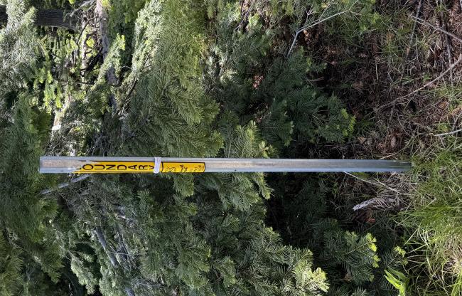
Activation Zone: The Yakima Tribal lands bisect the summit AZ. To the west is USFS lands; to the east is Yakima Tribal Lands. Fortunately, there is a USFS Boundary marker (see pic). Plenty of good activation spots to the west of this marker to be on USFS properties.
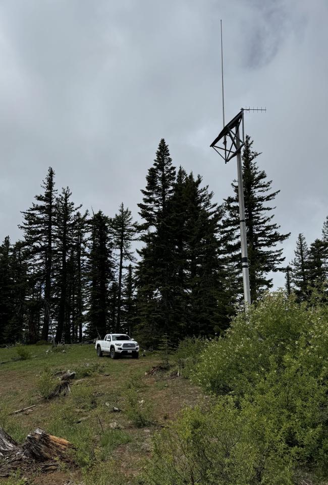
Note that there is a self-contained Yakima SAR repeater (147.08) antenna on the summit. According to the repeater website, it is an “open” repeater but I haven’t tested it. Coverage of Mt Adams and south should be excellent.


