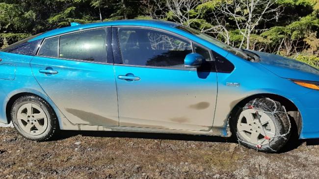
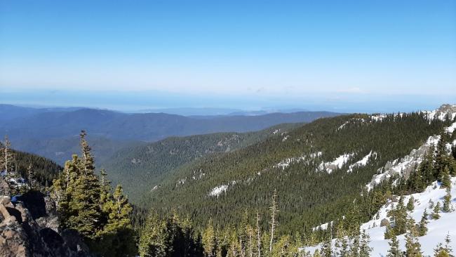
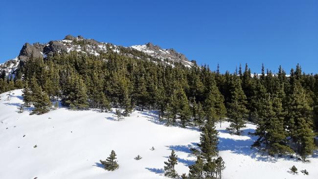
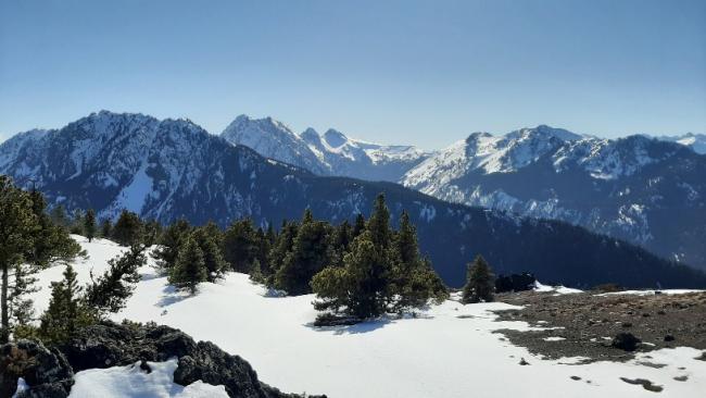
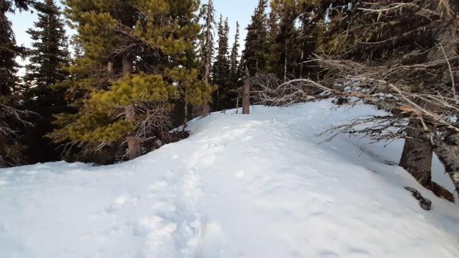
March 21, I left the trailhead (Upper Dungeness, across from Tubal Cain trailhead) at 1230. My Prius had chains on for part of the drive, just barely enought clearance with the snow. The trail had snow starting at 4500 feet. Microspikes were sufficient. Real snow started at 5000 feet, and I wished I had my backcountry skis. I was postholing up to my knees consistently, but deeper sometimes on the east aspect in the shade where the snow was more powdery. But it wouldn't have been a good ski tour, as I would have had to take the skis off many, many times due to wind-swept bare areas. Once at 5800 feet and up to the the summit it was largely windswept and bare of snow. So easy walking at that point. With slightly more consolidated snow real crampons would be good in a few spots.
I didn't see any other human tracks, until at the summit. There I saw one set of boot and ski tracks going/coming from the north.
I was able to talk to folks (Mark and Bob) from Port Angeles and Sequim via 2 meter with my 3 element yagi I took the 3 elements off my Arrow and put them on homemade mounts on my ski pole to save the weight of the boom. I was able to talk to my parents in Centralia, WA also. Got great 20 m and 40 m contacts with my end fed trail friendly and MTB3 on CW.
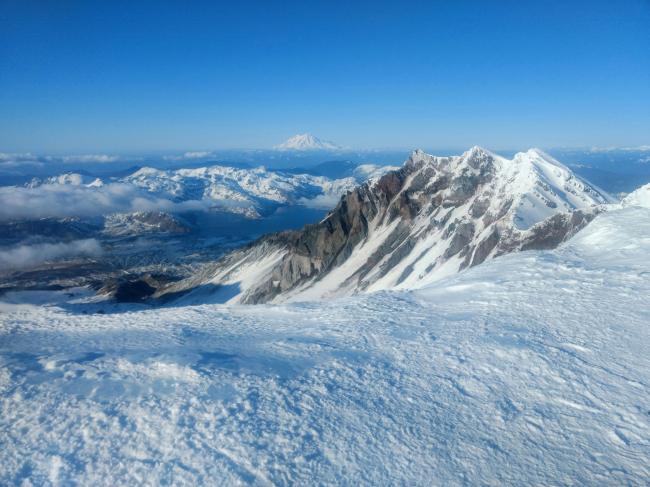
I used my Bothy sack from Summitgear.co.uk to stay warm--it works amazing. It allowed me to stay long enought for the highlight of the trip--a summit to summit with my wife. She (WE7CAT) was on Mt St Helens (W7W/LC-001) for her first solo activation. She was too shy to talk on the radio last year when we climbed it, so I gave her a script to read and she did great--3 contacts with folks from Portland using her Anytone 878 with stock antenna, and she said I was 59! She probably could have gotten more than 4 contacts, as I heard others calling her. But it was 1800 when she got to the summit, so she was in a hurry to get down. And there was ragchewing on 146.52 out of Portland, so she was having trouble breaking in.
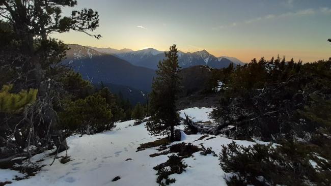
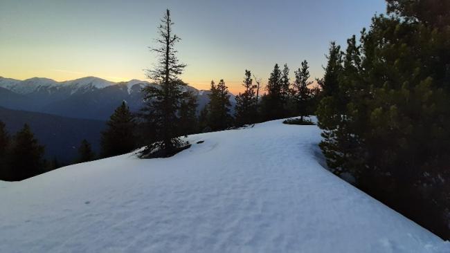
I left the summit at about 1830, and I got to my car at 2000, just barely needed my headlamp at the end.
Actual directions: https://www.wta.org/go-hiking/hikes/mount-townsend


