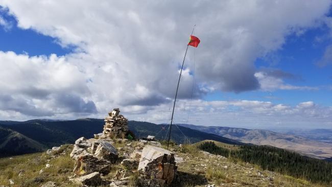
Peak 8740 was first activated a month ago on 08 Aug 2023 by KJ7GRQ and N0DNF. This is a very straightforward “trailhead” from a rough dirt/gravel road. Definitely not Prius friendly and I wouldn’t take anything but a vehicle with more than standard clearance. Recent rains have created water channels, mud puddles and exposed rocks in places. 4WD is not required, however.
Park at a horse staging area (42.22230, -113.67412). There is a raised horse loading platform and plenty of parking. There really isn’t an established trail to the summit, but cows have created a well-worn path that can be mostly followed. The path loses definition in places but then reappears. There are diverging/converging cow paths all the way to the summit. This path/trail begins at the parking area and looks like the beginning of a road, though it definitely is not.
The hike is just over 1-mile with 800 feet of elevation gain. The minimal bushwhacking required is not difficult with some exposed rocks and low plants/bushes.
Directions: There are two roads that can be taken, one from Oakley, Idaho and one from Elba-Almo Highway (42.24827, -113.55687). I came from the west out of Oakley, ID. Head east off of Hwy 27 (main town intersection) onto East Main Street. This road changes to Basin Road and then Oakley-Elba Road (42.24545, -113.77491). This is where the pavement ends after 5.76 miles from Oakley. Oakley-Elba Road continues east and up the mountain for 5.08 miles to an intersection with Independence Lake Road (42.24464, -113.70700). Turn right onto Independence Lake Road. Continue for 4 miles to the parking area (42.22230, -113.67412).
The other access is from Elba-Almo Highway (42.24827, -113.55687) to the East. This 9.84-mile approach gets you to the same intersection with Independence Lake Road. The road is in a bit better shape but still requires a vehicle with some clearance.


