A friend of mine wanted to try a new, never before activated summit to start off his SOTA career and bring me along as his guide. Doing some preliminary research, this looked very much like a summit that would be very difficult to impossible to reach. From Google Maps, it wasn't too far from the road to the summit, but checking Google Earth, I could see that it was really going to be a steep climb for the initial part of it and through what looks like dense forest. I wasn't expecting that we would be successful. Luckily, I was wrong.
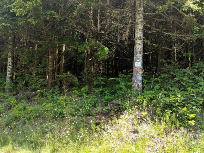
The best entrance to the forest is at the end of the dead-end road west of the summit. There's plent of parking space at the end and we also set up an HF vertical antenna and streched out some ground radials, however, this area is far too low to be in the activation zone. I still had to hike up to reach the summit for my VHF activation. From the parking area, it's about an 279 foot (85 m) vertical ascent and 730 feet (223 m) horizontal. While it looks impenetrable during most of the drive down the road, at the very end, there's a nice, easy opening into the forest.
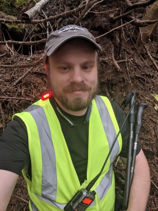
Once inside the trees, it was quite open, but a very steep hill was ahead. Climbing directly up it was fruitless, but then I saw an animal trail going up around the hill. Following the trail, it was much easier to climb up the side and I was able to make it over the steepest part. The trekking poles I brought along were also a big help. I did have to take a few stops along the way to the summit to rest a little bit.
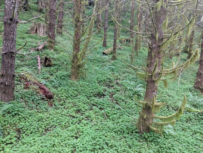
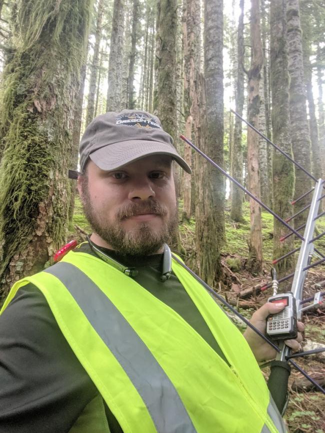
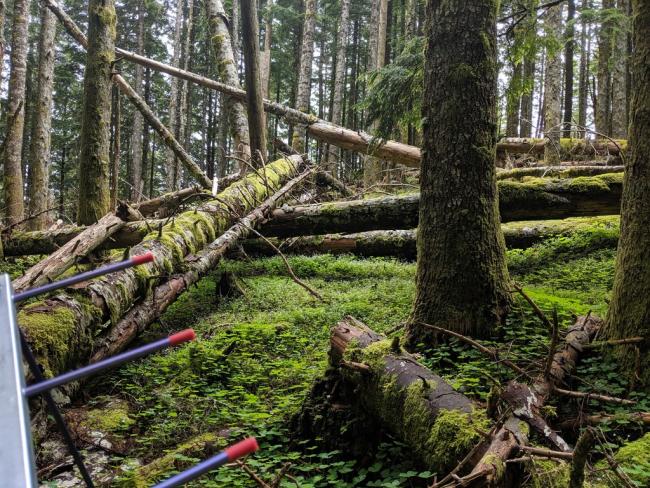
Closer to the top of the summit, the ground leveled off and was easy to traverse. There was an area with a number of fallen trees near the summit. Once I found a good spot inside the activation zone, I set my pack down and put together my Arrow II Leo 3-element Yagi. It took a little while to get the airways warmed up, but once they were, it was only about 7 minutes to get my 4 contacts and activate this peak.


