One of the four Wildcat Mountains in Oregon, this one is a short bushwhack from a Honda-Fit-accessible road, and as it is directly across NF2655 from Bunchgrass Mountain W7O/CM-087, these peaks would make an excellent pair or trio with Iron Mountain.
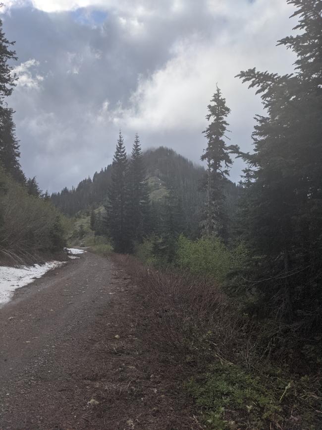
On US 20, turn south onto NF15 and follow twists and turns, and several forks, to a sign on the left that says Fritz Wildcat, at 44.3437, -122.1303. Follow this road up to climb the ridge, and park at 44.3296, -122.1014, the saddle. Google has all these roads marked and it can get you there.
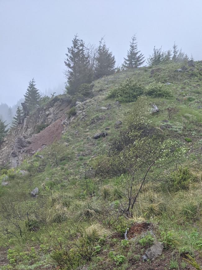
From here, hike right onto the ridge, then follow it up. There are hints of a trail but hardly anything to follow - keep to the rocky parts as much as possible to minimize impact, please. It's hard to get lost on this ridge, it's steep-sided and the ridge is pronounced all the way to the top, I think you could find your way down it in the dark. I left the ridge a few times to avoid some of the steepest parts which, coincidentally, are the parts with the thickest trees; I had to clamber up a rock or two, and over a handful of logs, but considering how short it is I think this one's worth it. 0.6 miles, 600' gain.
Don't expect VHF coverage here, even into Bend was hard, but HF was perfectly good.


