There are several trip reports available for Rock Peak, WA. I used: https://www.summitpost.org/rock-peak/709367 which had correct directions. It is also accurate about the hike up being a short, steep, slippery ascent with medium density forest floor brush. Peakbagger has several other reports (https://www.peakbagger.com/peak.aspx?pid=16430)
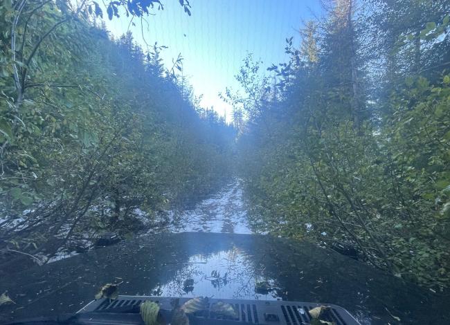
My Garmin GPS routed me on FR-2351-600. We checked out that as a possible route and it is blocked by a large dirt berm about ¼ mile in. If you drive the way the Summit Post write-up describes, you will run into saplings encroaching on FR-2352 as you get about 2 miles from the bottom of the peak. You can park farther out or do what we did and push on through with your vehicle (see pic below).
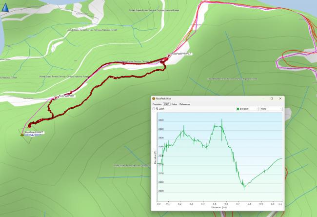
We parked at the bottom of the northeast summit which is not the SOTA summit (marked PARK-ALT on my GPS track below), and ascended up to it, then traversed the ridgeline. SOTA Goat application tracker said I was in the AZ at the northeast summit, but I looked up at the “true” summit and it looked like much more than 85 feet higher to me, so we traversed the saddle, then scrambled up to the official SOTA summit and I activated from there.
The summit is small but there is enough room to set up an HF antenna. The true summit is treed and only affords peek-a-boo views of the surrounding Olympics, but just off the summit are clear views to the West and Northeast. Summit pics posted to SOTA Atlas.
Good 2M into Seattle area. I activated with an HT and 5 watts. Since I was with a non-ham, I did not take the time to set up HF. For the return trip, we went straight down to FR-2352 from the saddle. Our total hike was 1.2 miles and 450 ft ascent.


