Climb: 3.3 mi, +2,461 feet
Approach: 6.4 mi., +874 feet, -535 feet
This is a very nice on-trail hike in the Scapegoat Wilderness that is probably most enjoyable as a two or three-day backpacking trip. We did it on the 2nd day of a 9-day trip. The trailhead is a primary entry point to the Scapegoat-Bob Marshall Wilderness Complex. There is plenty of parking and some camping at the trailhead.
Directions to Trailhead:
1. From Ovando: Go east on Hwy 200 for 6.2-miles, Turn North on the Gravel Road for the North Fork of the Blackfoot Trailhead.
2. Continue north for 2.3 miles and Turn right (east) at the 4-way intersection.
3. Continue 2-miles east and turn left (north). The trailhead parking area is another 7.6 miles.
The road to the trailhead is an all-weather gravel road that is well signed and suitable for most vehicles.
Approach:
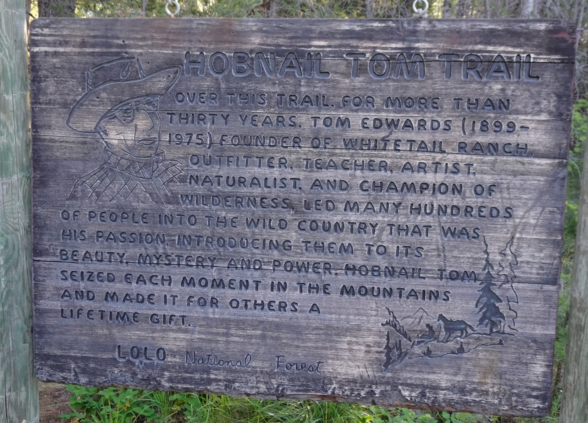
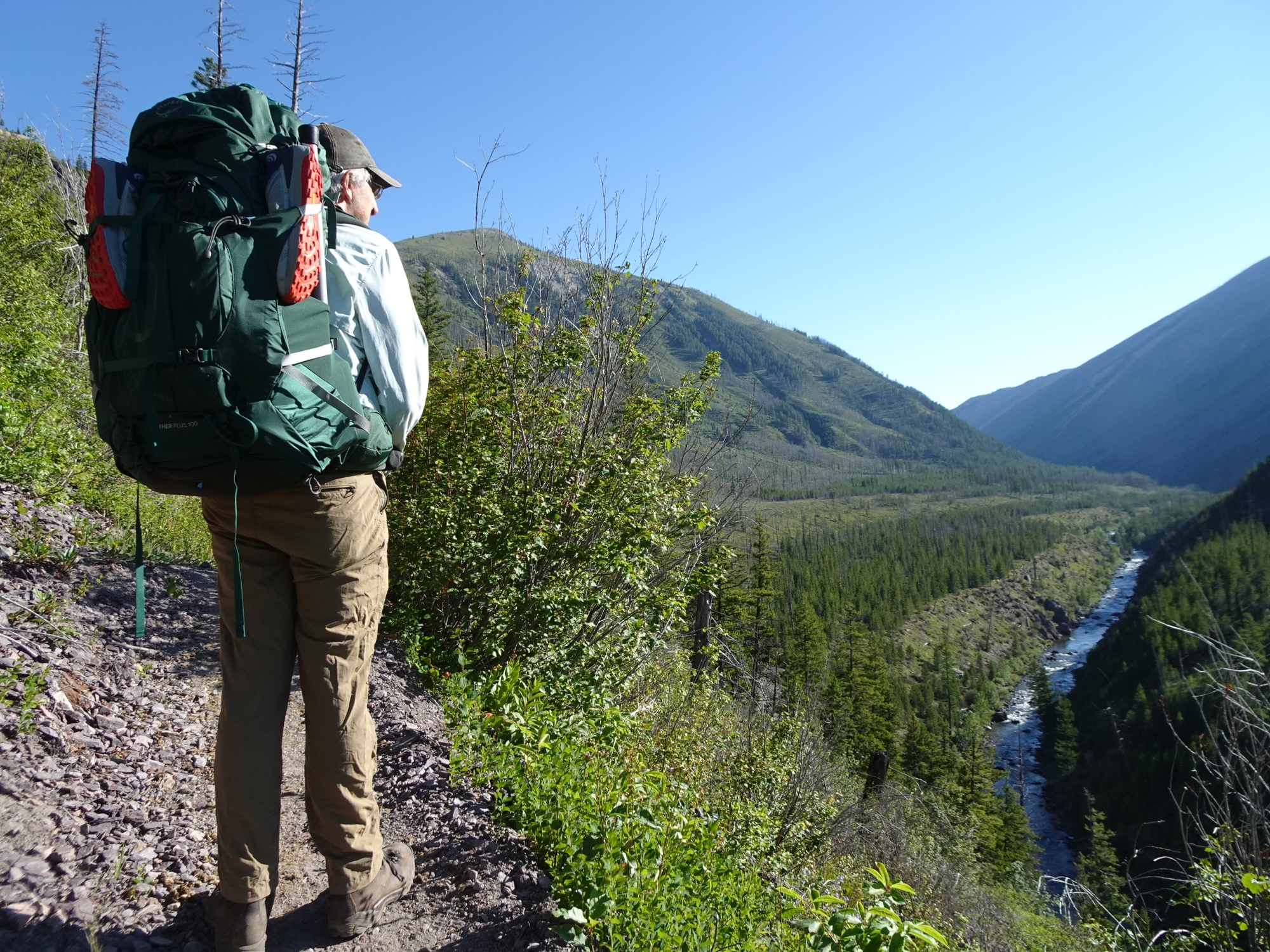
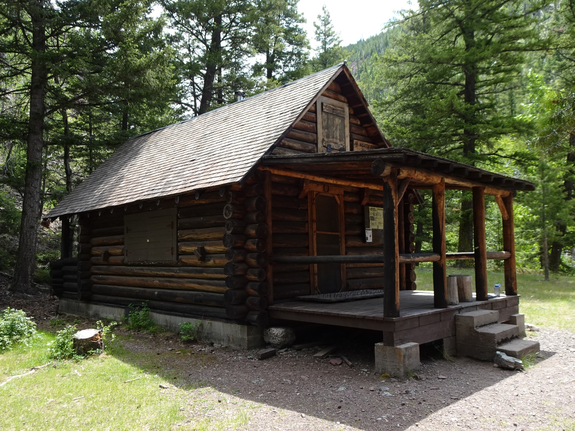
Hike north 6.4 miles on the well-traveled “Hobnail Tom” trail (Tr. 32) to the vicinity of the North Fork Guard Station. This trail is a well-traveled and highly maintained primary access point for the Scapegoat and Bob Marshall Wilderness areas. The trail crosses a packbridge across the North Fork of the Blackfoot River about halfway to the Guard Station, then a second packbridge immediately before the Guard Station. All of the approach hike is within the perimeter of the massive 1988 Canyon Creek Fire. Most of the area between the Trailhead and the 1st packbridge is within the perimeter of the 2017 Rice Ridge Fire.
There is good camping on either side of the North Fork both upstream and downstream from the confluence with the Dry Fork.
The Climb:
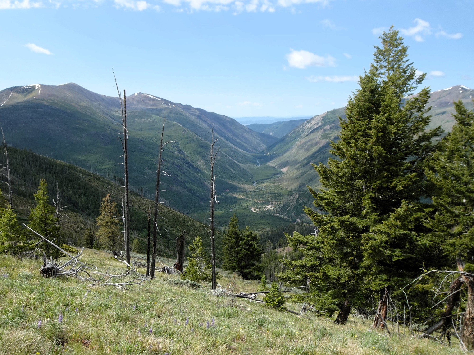
Follow Tr. 32 north from the guard station. The trail will soon split – take the right (steep) trail if you are not on a horse. Follow this trail about 0.7 miles as it climbs to the junction with the Falls Point Trail (Tr. 436), which will be past the reentry junction with the horse trail. The Falls Point Trail is signed and very obvious. The Falls Point trail will make an acute left turn at a junction with a well-traveled, but unmarked trail (to an outfitters camp) at about elevation 5,900. Turn left at this junction and continue to the summit. The trail is well maintained. Most of the hike up is within the perimeters of both the 1988 Canyon Creek and the 2007 Conger Creek Fires. The summit area was burnt by the rather small 2012 Falls Point Fire.
The remains of a Fire Lookout can be seen on the summit. The lookout was an L-4 type lookout on a 40-foot tower that was abandoned in the 1960’s. It burnt in the 2012 Falls Point Fire. The summit has beautiful views in all directions and plenty of room to setup.