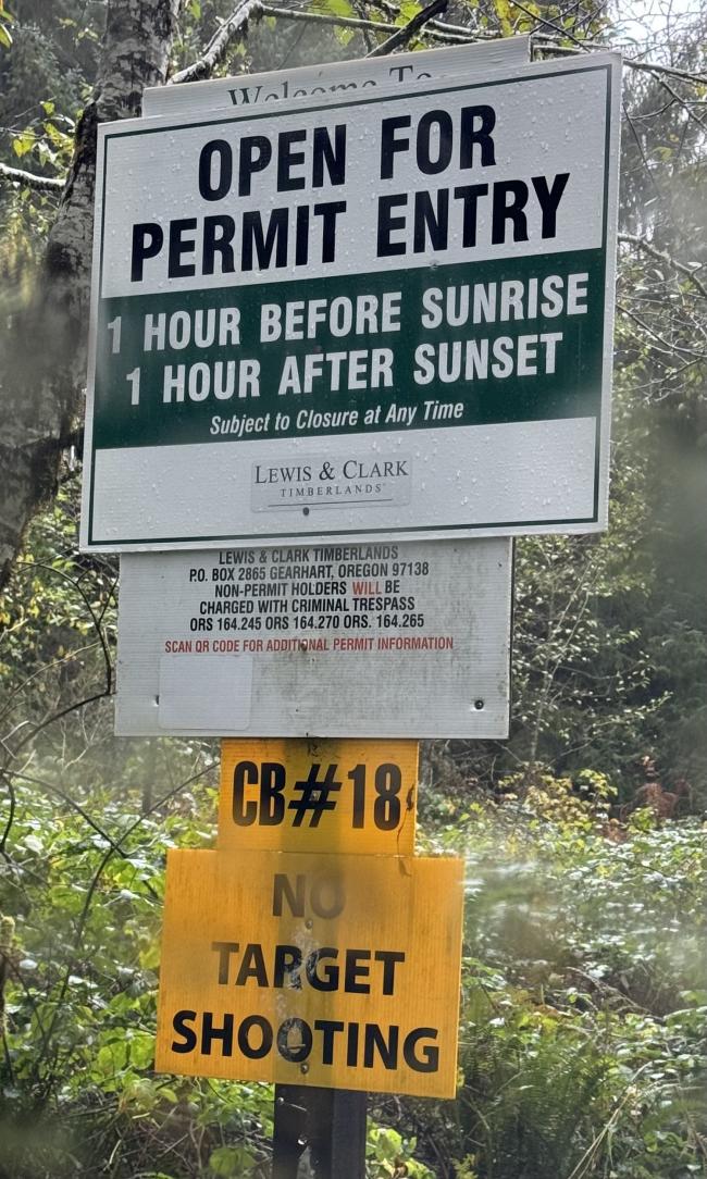
This one-point peak is located on a parcel owned by Nuveen Natural Capital, the current owner for what we used to call Lewis & Clark Timerland. Fortunately, the new ownership has continued to offer a generous public access policy with a free permit. Furthermore, Nuveen maintains a hunting season schedule wherin they open a number of gates for motorized access. We took advantage of this season to make for a nearly driveup, albeit in miserable late fall conditions.
If you haven't applied for a Nuveen permit, or haven't visited the L&C site in a few years, they've gone through some ownership changes. The permit site is now located at https://nncpermits.com/PermitHome.aspx. Here you can apply for a free permit, download PDF maps once logged in, and most applicable for this writeup, view the Oregon Permit Holders Notification PDF. This document is updated from time to time, and includes the schedule for when and which gates will be open. For example, in 2023 the gates were opened from October 7th to December 1st. For this summit the gate of interest is 25 Clatsop Fir XO in the Clatsop region. The summit is also accessible from gate 26, but we found 25 is slightly shorter and easier.
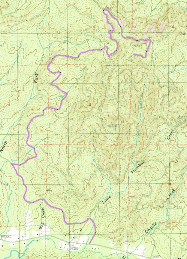
If you choose to visit this summit when the gates are not open (a permit is still required), it's about a 7 mile hike one way. The gravel roads are well maintained and prius-able. This route is posted to sotamaps / sotlas.
Start on Hwy 26 to the gate road at ( 45.90698, -123.78263 ), about 2 miles west of the turnoff for Saddle Mountain State Park, and about 100 feet east of Little Humbug Creek. Turn north off the highway. The following distances are measured from the turn onto gravel.
- For almost 2 miles, keep to the left at the forks, following the main road.
- At 1.8 miles, take a sharp right ( 45.92126, -123.80255 )
- Left at 2.3 miles ( 45.92414, -123.79662 )
- Keep to the right at forks and spurs for almost a mile, then left turn at the fork at mile 3 ( 45.93143, -123.79300 )
- Right at 3.6 miles ( 45.93553, -123.79261 )
- Left at 3.8 miles ( 45.93781, -123.79044 )
- Right fork at 4.6 miles ( 45.94170, -123.78249 )
- Sharp left at 5.0 miles ( 45.94049, -123.77760 )
- Right at 5.8 miles onto Line 355 ( 45.94902, -123.77892 )
- Right at 6.6 miles ( 45.94336, -123.76698 )
- At 7 miles, park near the intersection ( 45.94086, -123.77137 )
From the parking spot, the final ascent is a semi-bushwhack of only a few hundred feet. Most of the hillside is an old clearcut that has started to grow back, but some of the AZ is still forested. You can setup in the clear and still be in the AZ, and there are plenty of stumps, small trees and bushes to raise a mast. When we activated the weather was foggy and blustery, but I imagine on a nice day there are good views to be had.


