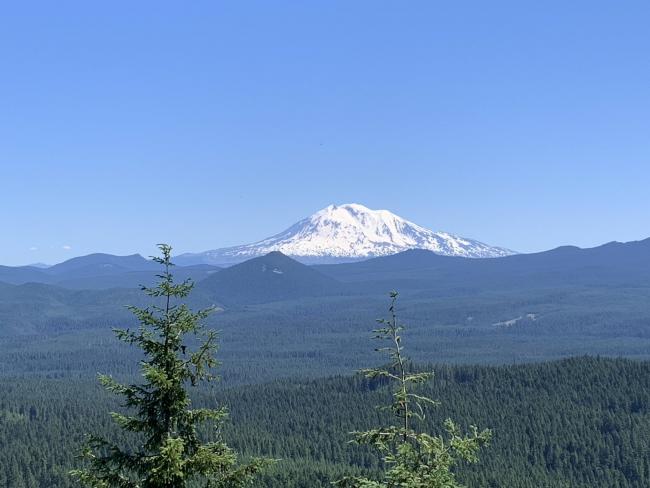
Great Vistas from the Termination Point summit!
Termination Point was the site of a now abandoned FS Lookout. Kreske's book says it was built in the 1930s but later abandoned. The view of Adams, Rainier, and St Helens are majestic and with a little hike to the south, Mt Hood. The summit is small, about 20' x 20' but with steep dropoffs to the east - great RF takeoff angles.
Follow the WU7H previous report directions. My only additions: 1) Wind River Rd (FR30) becomes Meadow Creek Rd near Gov't Mineral Springs turnoff from the south. The NF31 to the west is about 3.6 mi north of the Paradise Creek Campground. 2) Once on NF31, at 2.4 mi angle left on the unmarked FS Rd 110. 3) At 3.5 mi, go left at the "Y". 4) At about 3.6 mi experience the "Big Muddy", a 30 ft long and very deep mud puddle. It is about a foot deep without a rock bottom. I had to go into 4 wheel lock (4-Low) and had locking differentials and it was still sketchy. As the "Big Muddy" dries out this summer, it should be more naviagable by All-Wheel drive vehicles with high clearance but if its wet and full of water, I'd park and walk the extra half-mile; not worth getting stuck and having to winch out. 5) The 110 road, after the "Big Muddy", is fine up to the trail head parking area, about another 1/2-mi.
First, set a waypoint for your parked car. You most likely will need to navigate back to that waypoint on your return trip. The uphill trail is "sketchy and barely discernible" as mentioned by WU7H and criss-crossed by many game trails. I found it almost impossible to find the trail on my return trip. It's way to easy to get off track on the game trails to the east. I had to "dead-reckon" navigate back to my waypoint.
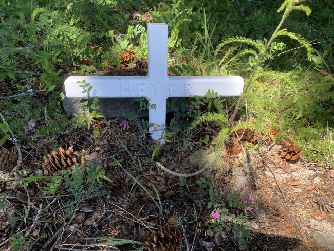
But the clear-day vista from the summit is fantastic! And the mystery of the "Heyer" cross is interesting. Several good trees to use as antenna supports; I setup my EFHW right on the cliff edge and under a second tree for shade. Very enjoyable site.


