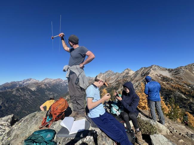
From Lake Wenatchee, travel north on Forest Service Road 6200. The Carne Mountain trailhead is at the end of a 13-mile dirt road. The first 11 miles are rough, but the last 2 have recently been regraded and are quite decent. A high clearance vehicle is recommended, although we made it in our low clearance campervan. No pass is required and we slept at the trailhead to get an early start the next morning. The parking lot is small, and people park on the side of the road when the lot is full. It can be difficult to turn around if people park on both sides. All Trails has directions to the trailhead and the summit here: https://www.alltrails.com/trail/us/washington/carne-mountain-trail. It took us about 3 hours to reach the summit, which was about 4 miles from the trailhead and roughly 3,600 feet elevation gain. There is no toilet at the trailhead.


