An easy drive to the trailhead and a moderate 2.5 mile hike makes for a good day in the northwest corner of Montana. As with many summits up here, it's just a very remote area and it's quite a long drive from anywhere. Well worth it, however.
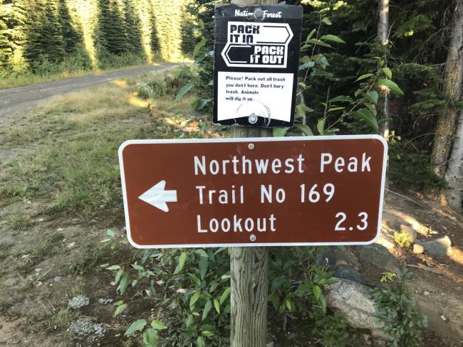
From downtown Troy, Montana head north on highway 2 for 10.5 miles. Turn right onto road 508 and travel 27.5 miles. Turn left (north) on to Forest Service Road 338 and travel 20.3 miles to the trail head. The road is mostly paved and high grade gravel. You do not need a four wheel drive car to get to the trailhead. If you continue on 338 another mile or so you will be in the Hawkins Lake Basin – potential camping here. The hike to the summit of Northwest Peak is 2.5 miles one way. The trail DOES NOT continue south along the ridge line another 2 miles to the summit of Davis Mountain W7M/LI-013 as the topo maps suggest. K7VK who accompanied me attempted this and it was a no go. The last mile of the trail is in pure rock but well placed cairns will keep you on the path.
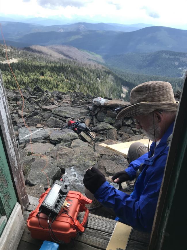
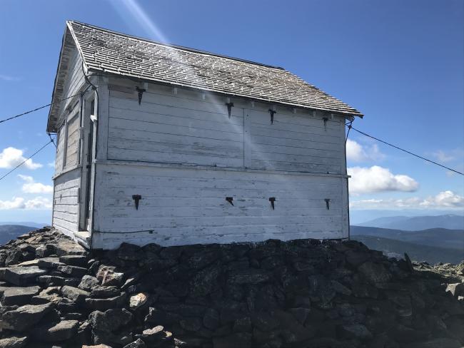
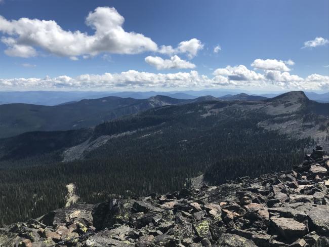
Excellent views from the summit and into Canada to the north. The Forest Service cabin at the top of the peak was open and it was nice to lay my gear out on the table inside and sit on a wooden bench. I actually set my rig up so that I could sit in the doorway while making contacts. Cell service very spotty. I had to continually walk about with my cell phone raised in the air to get a good enough signal to spot. APRS would have worked for me had I had a better antenna on my Yaesu FT2-DR. The little rubber ducky I had received many stations but was not able to get my beacon out.
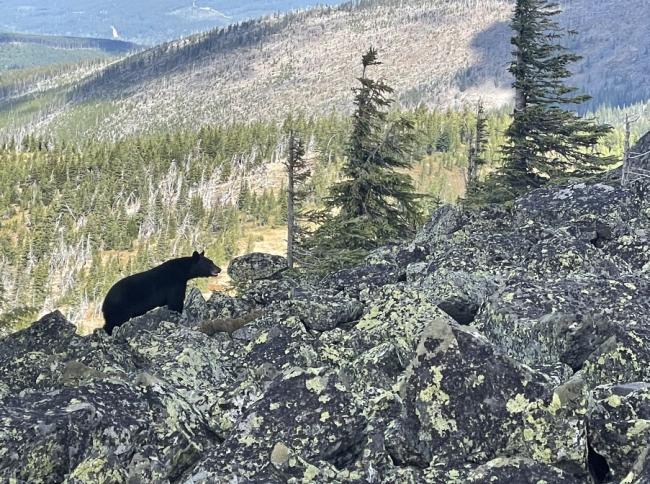
We had a little visitor while making contacts. He ran off as soon as he detected our presence. See photo below. We had spray ready but didn't have to use it.
I was able to make five 2m contacts on my handheld before working the 20 and 40 meter SSB bands. Bonners Ferry, Idaho, Yaak, Troy and Libby Montana all loud and clear. K7VK worked the same bands but on CW.


