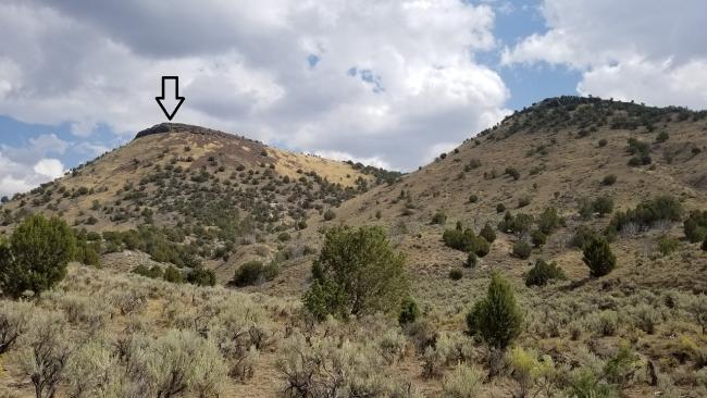
The effort to access this summit was hard to justify 2-points! Looking at the summit from the road below made me think about abandoning the "planned" 1.50-mile hike and just biting the bullet and going straight up the mountain (.30 miles/739-foot gain). I made the better choice by opting for the longer hike. Looking at the contours, traversing the side-slope and making gradual elevation gain seemed like a good option. I am glad I wore my hiking “boots” instead of my “shoes.”
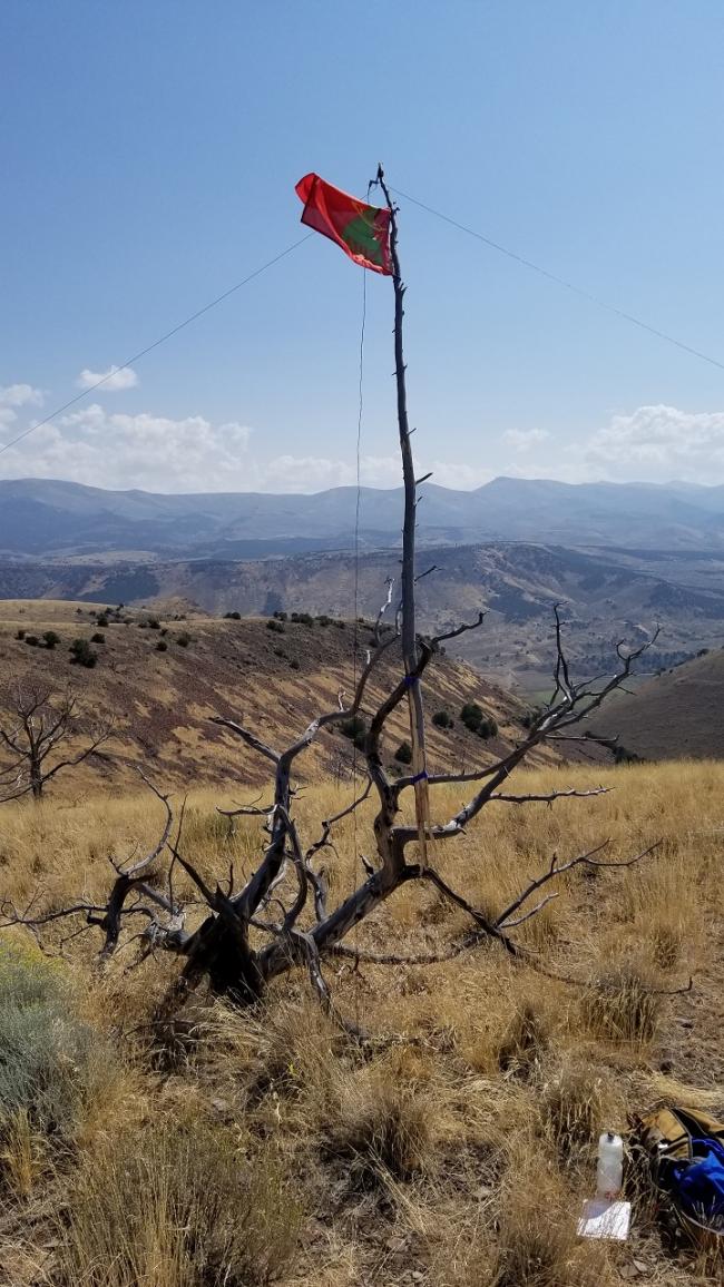
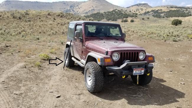
About a ¼-mile into the hike I realized I had left my antenna mast at the Jeep (this is becoming a recurring theme). Rather than returning and retrieving the mast, I began looking for a dead branch that I could use as a mast and haul it up the mountain. I was successful in finding a suitable branch and lugged it up the last ¼-mile to the summit.
There were MANY cow and game trails that crisscrossed the mountain. I jumped from one to another. At times there were some well established trails, but they all eventually petered out and I had to just bushwack. The slope was steep enough I thought my boots would blow out the sides. The last ¼-mile was basically a straight up hike with no side-slope to deal with.
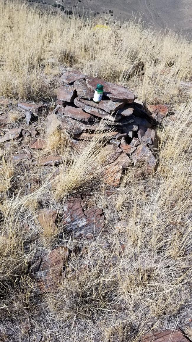
The summit was rather large and provided dead trees to secure my emergency mast. There was no service on the summit. I asked my first contact, Ivan (VE7IVN) from British Columbia, to spot me but apparently, he was unable to make it happen. I noticed later on SotaWatch that my text did go through 50 minutes later, after I was off the mountain. Sorry chasers! There was cairn at the summit constructed by a climber in 2020. His note in the supplement bottle stated this was his 100th Idaho 5,000' summit. I added a note about SOTA for the record!
I opted for a more direct route off the summit. Refer to attached GPS track.
Ascent (cyan track): 1.62 miles / 673 feet gain
Descent (green track): 1.38 miles / 734 feet drop (this route did require some climbing where I miscalculated the route)
Directions: Out of Oakley, Idaho, travel south on College Avenue (500 West) for approximately 2.40 miles. The road veers lightly left where it becomes Goose Creek Road (42.20959, -113.90057). Continue south 13.5 miles to the intersection with Coal Bank Road (42.04706, -113.94647). Turn right on Coal Bank Road. I would recommend a high clearance 4wd drive vehicle beyond this point. Shortly after turning onto Coal Bank Road, you’ll need to cross Goose Creek. I would NOT recommend crossing this creek during Spring runoff. At this time of year (September) the water was just at the bottom of my Jeep door (28 inches). From the intersection with Goose Creek Road, travel 1.54 miles to the intersection with an unnamed road (42.05174, -113.97156). Turn left and head south for approximately 1 mile to where I parked (42.04523, -113.98993). You may choose a different parking location to being your ascent. I noticed on the way out a trailhead that begins off the road (42.04641, -113.98449) that may save some bushwacking but is a bit longer than the route I took.


