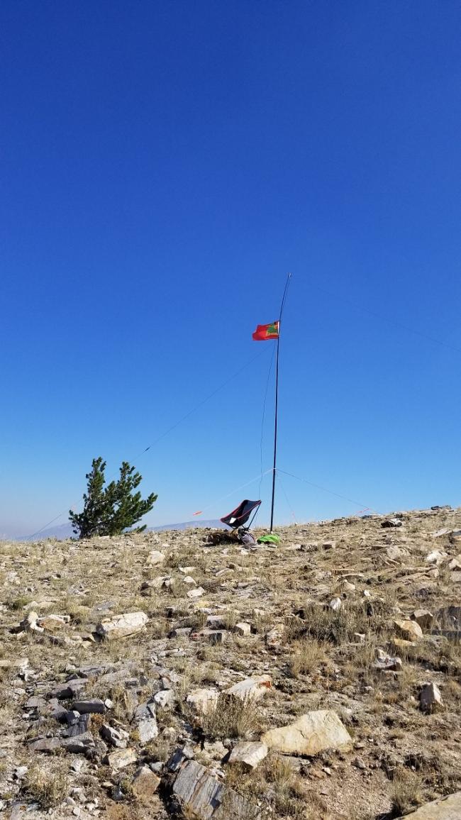
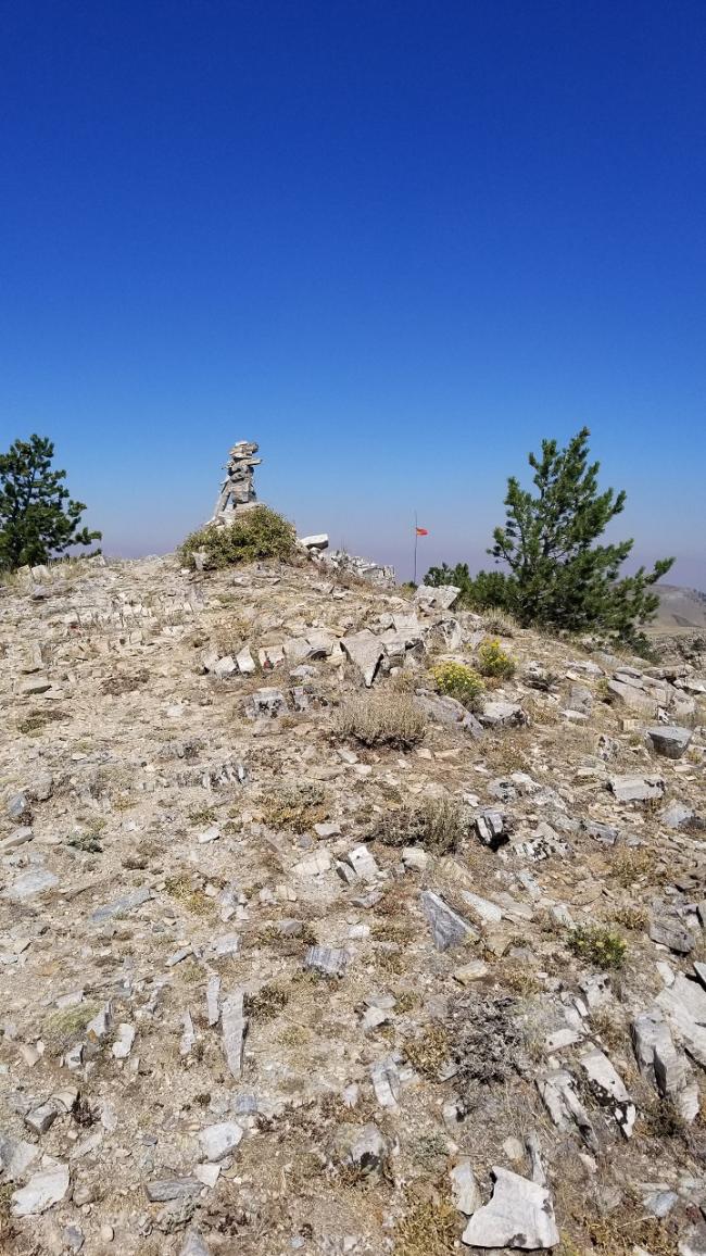
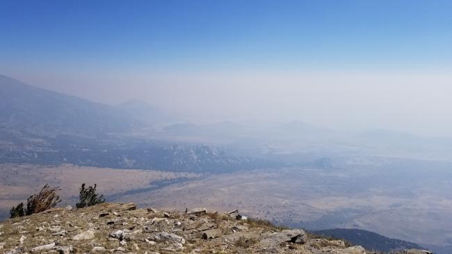
Graham Peak had been activated twice before, but a report has not been posted. The peak overlooks The City of Rocks National Preserve with stunning views of the incredible rock formations. If you visit the Preserve and don’t summit this peak you’ll really miss out! Though the pictures don't show it, the views were still great even with the wildfire smoke. The access roads are Prius friendly, except for the last ¾ mile which is an easy hike to the summit. There is a small radio tower (looks to be a VHF “J” pole). There was significant interference on both 20m and 40m. I moved about 50 yards from the antenna to set up my station. Though some interference remained, it was workable.
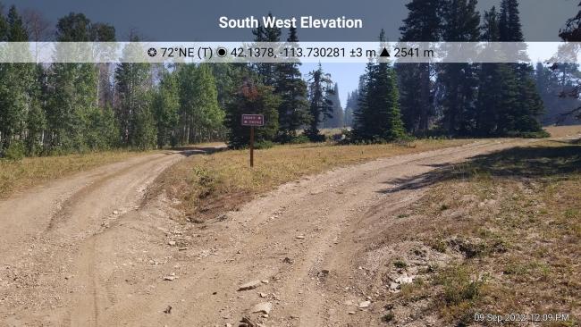
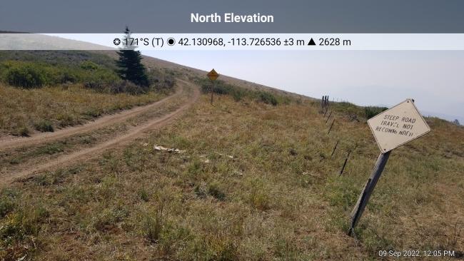
Directions: Rather than bore you with an exciting 4wd road requiring high clearance I’ll describe the “right” way to access this peak. Follow directions to The City of Rocks National Preserve. Travel north on City of Rocks Road which becomes Emery Canyon Road. Turn right onto Logger Spring Road (42.08708, -113.74355). Continue on Logger Spring Road for approximately 4-1/2 miles and turn right onto Stines Pass Road (42.13769, -113.73065) and then take an immediate right turn onto Graham Peak Road. Follow Graham Peak Road for 1-1/4 miles to the end. There are two signs posted with ¾ mile to go that say “Steep Road – Travel Not Recommended” and “Not Maintained”. The road is definitely not maintained but it is not that steep. This is the section of road, however, that is not Prius friendly. There is plenty of room to park and turn around.


