There is an activation report link from Doug (N7NGO) on the SotaMaps Summit summary that is basically the information for driving access and the summit hike. Since there is not a PNWSota report, I thought I'd add a few notes.
The access road(s) are very well graded and certainly Prius friendly, whether coming to the City of Rocks National Reserve from the east (Almo, Idaho) or from the north (Oakley, Idaho).
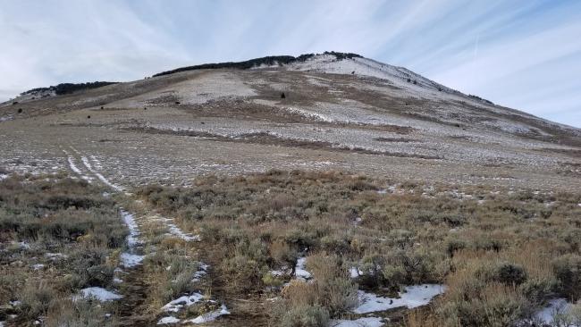
There is no established trail, though there is a no vehicle access road that you can hike for approximately a 1/4 mile from the Breadloaves Group Camping area which dead ends near a cattle fence. It is a bushwack from the end of the road to the summit. The sagebrush is relatively thick, but low, and is easy to navigate through. The total hike (including the road) is just over a mile with 796 feet of elevation gain. You can see the summit for the entire hike. Pick a line and start walking!
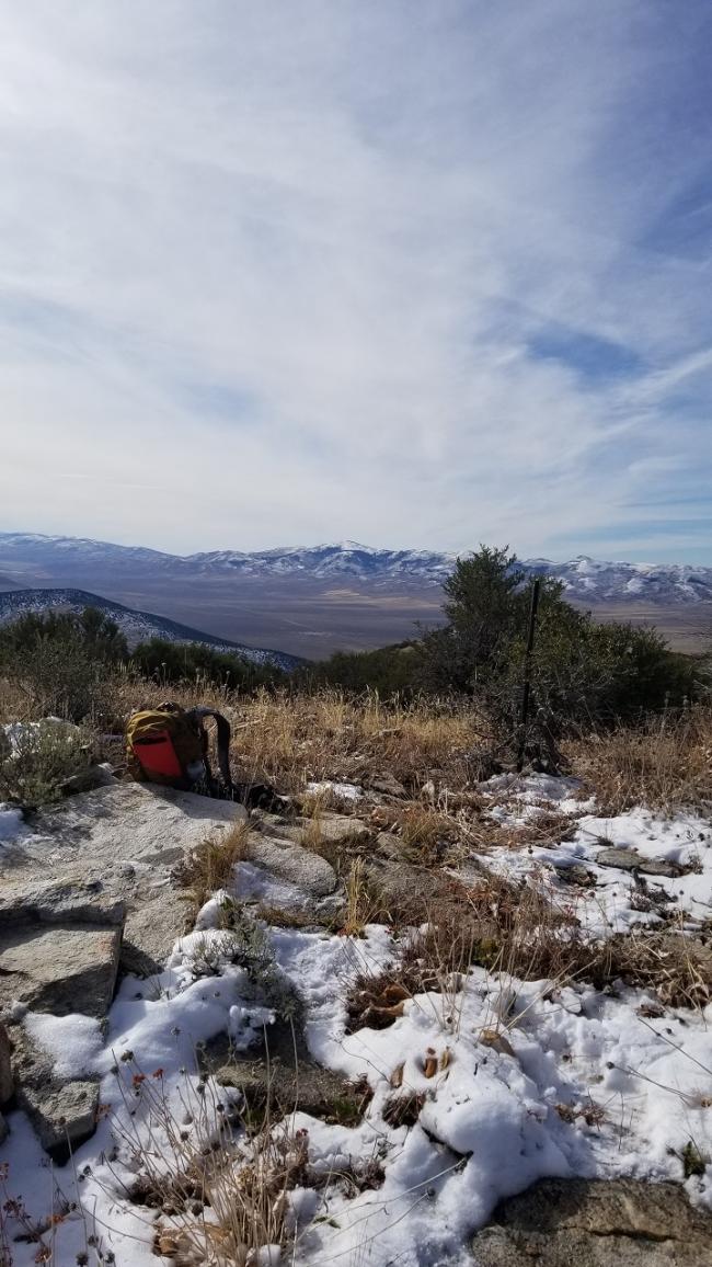
On this day there was around 2-6 inches of snow in places, but gaiters and micro spikes were not needed.


