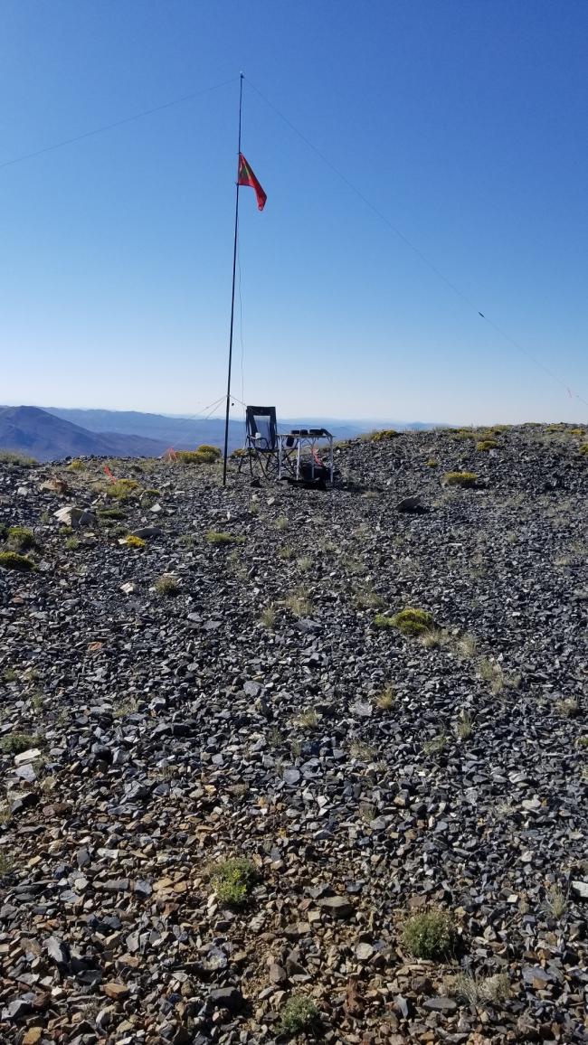
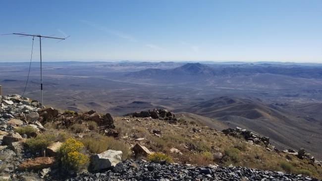
This summit is a drive-up, albeit a butt clincher at times. Here is an excerpt from summitpost.org:
“Ellen D has an elevation of 8,633 feet, and with a prominence of 2,053 feet, makes the list of Nevada’s 172 prominent peaks. . . .
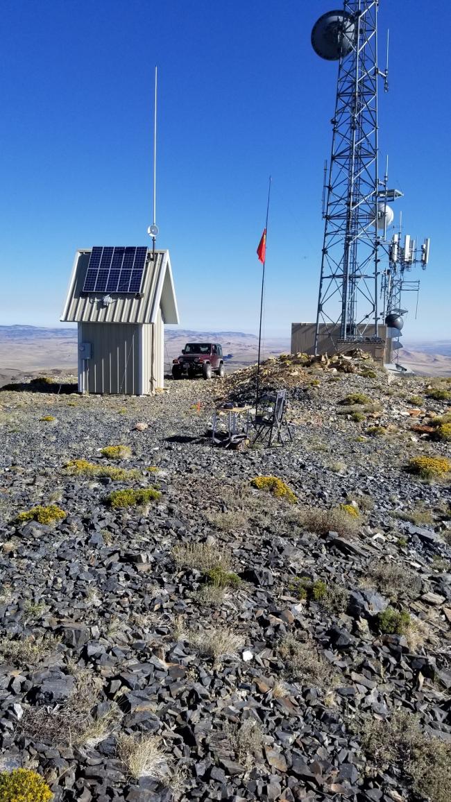
“An unimproved maintenance road leads to the top of Ellen D Mountain, where you’ll find an impressive array of radio towers, solar panels and maintenance buildings. . . .
“Although some of the land in and around Contact fall under private ownership, Ellen D Mountain is located on BLM-administered lands. Access here is not an issue, other than that induced by weather. Although the access road from Contact to the summit is decent, I would advise against driving a passenger vehicle on it.”
The wind turbines mentioned in the full Summit Post blog are no longer there. The solar panels must have replaced them. I would concur that this road is NOT Prius friendly. A 4wd is recommended, though high clearance is not required with some careful driving.
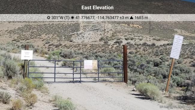
Directions: From Highway 93, head west on Main Street (41.76939, -114.75332) which leads to the community of Contact, NV. Main Street becomes Elko Avenue. Google Maps will have you stay on Elko Avenue at the intersection with Tower Road (41.77667, -114.76335), but there is a locked gate with signs forbidding entrance. Continue west on Tower Road to the summit. The total driving distance from Highway 93 is 5.79 miles. The first 3 miles are well graded, but the road quickly degrades into a steep, loose and rocky surface. There were a couple of times I could not see the road ahead due to the steep grade. Once I even parked, got out and surveyed the area to ascertain where the road went!


