About 35 miles from downtown Spokane, Mount Spokane (aka W7W/WE-006 Jump-off Joe) is a fixture of Eastern Washington outdoor recreation. In the summer Mount Spokane State Park is accessible for road and mountain biking, hiking, and camping. The road is open to the 5880 foot summit when there's no snow from June-Octoberish. In the winter the Mount Spokane Ski Area is a decent local hill that draws people from around Eastern Washington. The State Park is accessible in the winter for cross country and pseudo-back country skiing.
Access to the summit can be as easy as a car ride to the top in the summer, or taking a ski lift in the winter. It's one of the only mountain tops that many people in the area ever see. But for the adventurous, accessing the top can be as challenging as you want to make it. From the surrounding valley floor, it's about a 4000 foot climb to the top. The journey can be made on road and mountain bikes in the summer and on alpine touring skis or snowshoes in the winter (from the snow park, it's about a 1500 foot, three mile hike to the summit). In the summer some hike up from the valley floor to camp at the campground near the summit.
Trailheads– There are numerous trailheads to choose and numerous routes to the top. Check the link above to get a detailed map of the park. Depending on your mode of travel, you may need a Washington State Discovery Pass. If you’re parking at one of the trailheads within the state park, a Disco Pass is required. When we bicycle within the park, we often park outside of the boundary and ride into the state park (no Disco pass is required for bicycles). You also don’t need a Disco pass if you buy a lift ticket and park in the ski area concession. (SOTA activators probably wouldn’t utilize the ski lifts, but I’m including the description for completeness). Regardless of how you use Mount Spokane, please SUPPORT YOUR PARKS BY BUYING A DISCOVERY PASS!
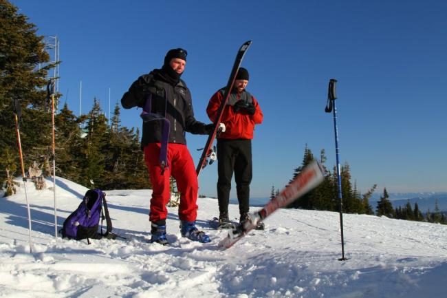
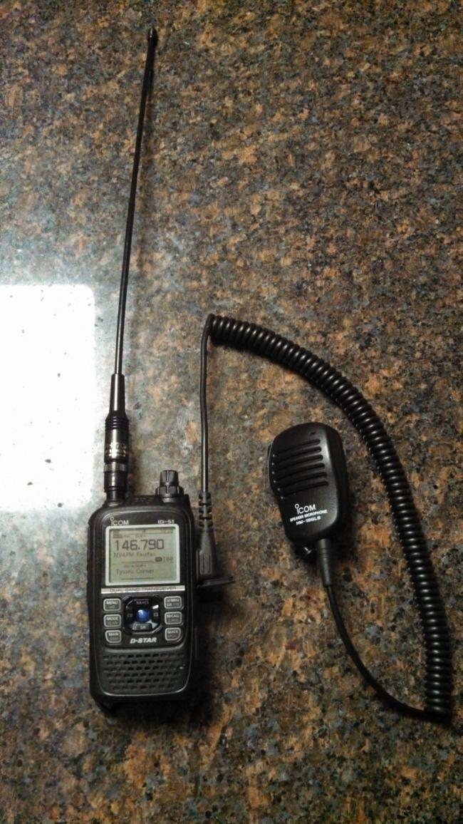
Because I go up Mount Spokane 5-10 days every year, it was one of the first peaks that I attempted to activate for SOTA. The first attempt was with a group of friends during a pseudo-back country ski expedition in December 2012. I say pseudo, because although the route is physically challenging, I don’t consider hiking in a state park, or in a ski resort “back country”. Never the less, the mountain is one of the closest places to Spokane to do back-country, alpine touring, or Randonee style skiing (whatever you want to call it). We park at the snow park, which is at a saddle at about 4500 feet. From the saddle, it’s a moderate hike up the ridge to the top. On that first attempt I was unable to make a single contact using my 2 meter FM handheld. In fact, I could not even hear any of our local repeaters. That surprised me because it’s only 20 miles from metropolitan Spokane, and probably even closer to some of the nearby repeaters. I later talked to some more experienced hams that reminded me about QRM.
The QRM problem: As I became more experienced, I realized that the summit of Mt Spokane has about as much QRM as one can find anywhere. There are literally 100’s of transmitters on top including TV stations, public service, NOAA, FAA, cellular carriers, and just about anything else that transmits. In the days of analogue cell phones, it was common to hear several other conversations during the course of a call. With modern digital phones, one is lucky to maintain a signal at all due so much desense of headsets. If a 2 meter amateur radio does not have excellent front-end filtration, expect to hear the NOAA weather radio transmitter blasting away at 200 watts, even on 146.54 Mhz. I’m told that there are no longer any amateur radio receivers on Mt Spokane because of the problem.
My second and third attempts at activating the summit were also on back-country skis. I tried from several different places on the summit, thinking maybe I could avoid the RF. No luck. What’s more is that when I ski, I’m normally with a group of people and none of them are hams. So their willingness to wait for me to make contacts is usually limited to about 10-20 minutes. Certainly not enough time to experiment in less-than-ideal conditions.
In early August 2013 I finally got a chance to go up again. I was accompanied by my friend Aaron. He’s not a ham operator, but he was sympathetic to my cause and willing to wait for me to experiment. It probably helped that on this day the temperature was about 70 degrees and sunny as opposed to 20 degrees with 25 mph wind and snow on the previous attempt.
This time we choose the mountain bikes. We parked the car by the roadside on private property off of State Route 206 (aka Mount Spokane Park Road). The small gravel turnout is just outside the park boundary at about the 3000 foot level. The parking area is commonly referred to as “The Beach”. As of this summer it was free to park there. I’ve since noticed that the park rangers have erected a welcome sign in the parking area. So I’m assuming that a Disco pass is now required, even though it’s private property.
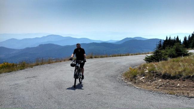
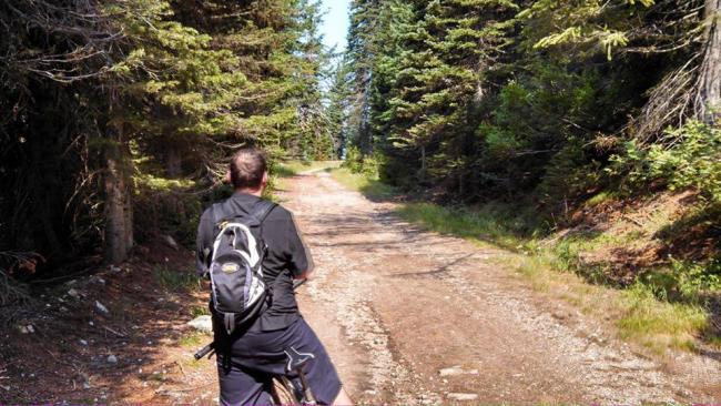
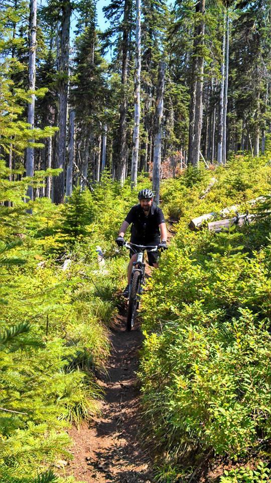
We proceeded up the park road and entered the state park. We could have taken the park road all the way to the summit. But since we were on mountain bikes we decided to ascend off the road. Soon after the park entrance, there are several trailheads to choose from. We took the “easy route”; The Kit Carson loop trail. That loop takes you to Mt Spokane via a fire road that goes around Mount Kit Carson. For mountain bikers, there’s miles and miles of good riding accessible from the Kit Carson loop. You can chose everything from gentle fire roads to technical single track. If you’re hiking, it may not be the best route because of the distances involved. For hikers, chose one of the trails that go more directly to the top.
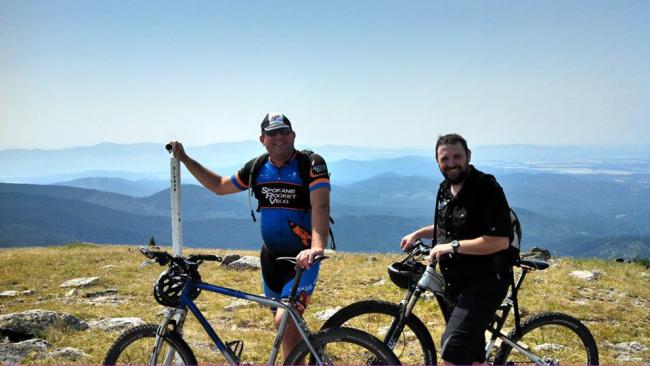
We successfully got to the top after a few hours of laborious pedaling on the fire road, and then the summit road. We enjoyed the view for a few minutes, ate and drank, and then planned our decent, which we decided would be all on single track.
Earlier in the week I got a tip about Mount Spokane from another local ham who’s into weak signal contesting. He’s not into SOTA, so he’s not bound by the restrictions on human powered transit, or the need to transmit from the peak. However, he told me about a spot just below the peak that’s relatively shielded from the RF. You can access that point either by hiking up from the switchback on the road below, or descending from the top. Since I needed to gage how far from the top it was, we started from the top and descended to that point via single track. I set up my station. The first thing I did was make sure I was still close enough to the peak to count the SOTA activation. It turned out to be only 150 lower in elevation, and a few hundred feet by trail from the peak. (As I read the PNW SOTA rules, I may be too far down from the summit...need to double check the numbers here). Indeed the spot was shielded from the majority of the transmitters by a large protrusion of rocks and earth. For those erecting HF antennas, there should be enough open area to string a wire antenna, and a good choice of trees to hang from. I have no idea how much QRM one could expect on HF in that spot.
It only took me about 20 minutes to get six contacts on 2 meter FM, and for my first time, a contact on D-STAR simplex. I took a few more minutes to have some QSO’s with friends. Aaron was waiting a few switchbacks below me. For the next 30 minutes we enjoyed the well-earned decent on single track.
Mount Spokane wasn’t my first or only SOTA activation but it proved to be the most elusive. There are more mountain tops in eastern Washington that I’ve attempted to activate but couldn’t get out. I’m convinced that I need to buy a portable HF station if I’m going to play with the big boy and girls of SOTA. Instead of posting unsuccessful trip reports, I think I’ll wait until I activate those mountains using HF J


Since reviewing the WA State