To get to Rocky Top from the Valley, take Hwy 22 in Marion County east past Gates, OR to Niagara Hts. Rd, across from Niagra Park at the intersection with the red and white waterwheel, well-known to area residents and weekend travelers to Central Oregon. Watch out, the left turn approaches fast as you round the corner and I still miss it despite having been up there several times.
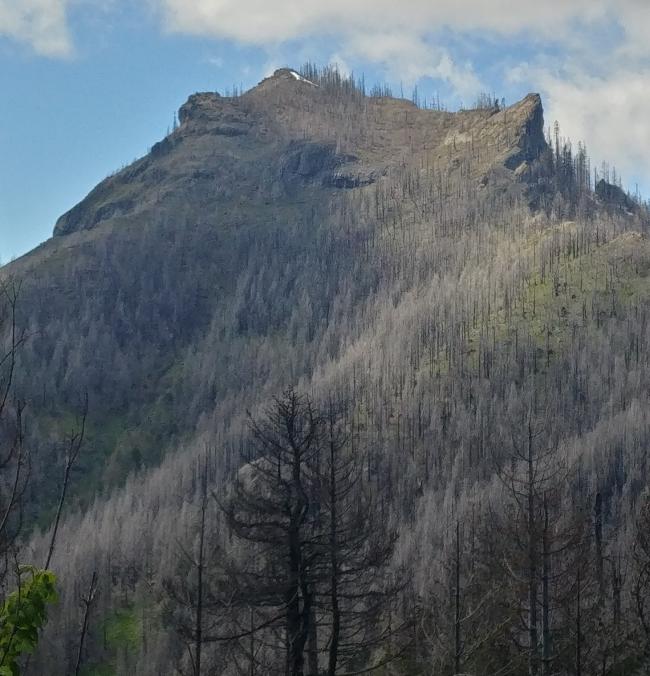
The road itself is a graveled logging road, most of which is in pretty good shape, but the signs indictating direction to the Rocky Top trailhead are largely missing. Bring a good map and take this route in something with decent clearance and AWD - I took my Forester but parked it underneath some powerlines at an intersection about 3/4 miles south of the Rocky Top trailhead. This afforded me both an execellent view of the summit I was about to ascend and negated the stress of the rest of the narrow, sometimes rough road to the bottom of the trail.
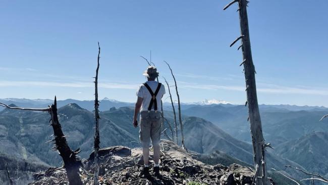
The trail to the summit is not particularly long (about a 1 1/4 mi), but it is steep in places and has several switchbacks. I would call it moderate, very manageable for an experienced hiker/activator, but not for the faint of heart in a few areas, as it can be a slippery scrabble. My 11 yo son was my hiking companion and was able to do the trail without assistance. There are some small hazards, all navigable, but no aerial foliage - bring some sunscreen and a wide-brimmed hat, for where there are trees still standing, they are not but thin blackened trunks and branches. The ascent and summit offer many photo opportunities of the Three Sisters, Mts. Washington, Jefferson, Hood, and a few others. It also serves as a great vantage point to see the decimation caused by the Beachie Creek fire complex of 2020 that scorched nearly 200,000 acres of the landscape.
For this activation, my first, I used a Xiegu X6100 paired with an 8 Ah LiFePO4 battery and Superantenna MP1C, a 1/4 wave vertical. I worked 5 stations - thanks gentlemen! - on 20m SSB (still working on my CW) over about 45 minutes of calling CQ. I logged contacts on my phone with the HamLog NG app for Android. I also had my Yaesu FT-65 but would have faired better on it with a directional antenna, having made no contacts with it. I imagine this is an atypical station setup for SOTA, but it worked, and the combo breaks down easily, is light, and can be carried in a small pack. I certainly could have gone lighter, but between the trail conditions and length of trail, there was no need. All-in-all a success. I learned a lot, and can't wait to get back out there, somewhere, again.
73.
Dave, K7RNJ


