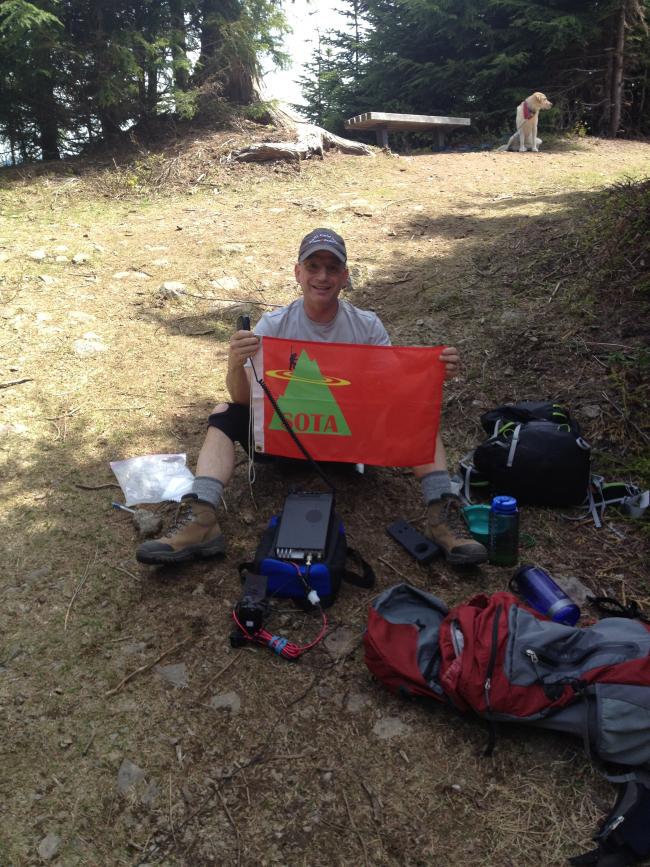
On a training hike for our Switzerland Hiking / Climbing tour next July / August. Accompanied by my wife Sharon and our Labrador Retriever Dexter. Rattlesnake Mountain is a relatively easy 9.2 miles round trip (including preliminary walk to trail head from parking lot), gaining 2,500 feet +/- to a summit elevation of 3,517. TH is is easily accessible from my home QTH in Bellevue, WA. I-90 east to exit 32 in North Bend, then good but windy paved road to Rattlesnake Lake area. The hike is through mostly wooded terrain, with some sections of old growth trees. Upper section of hike is through long ago logged areas, covered with second or third generation evergreen trees. Much blowdown and many snapped yound trees from some wind storm. Trail has been cleared and is in good shape. Two and one half (2 1/2 ) hours up and two (2) hours down. A few other hikers and trail runners en route, above the crowds going to the ledges, at about 40% of distance.
All eighteen (18) contacts were 20M SSB. Worked 10 states: Tennessee, Alaska, Pennsylvania, New York, Indiana and New Mexico, Nevada, Arizona, California and Washington.
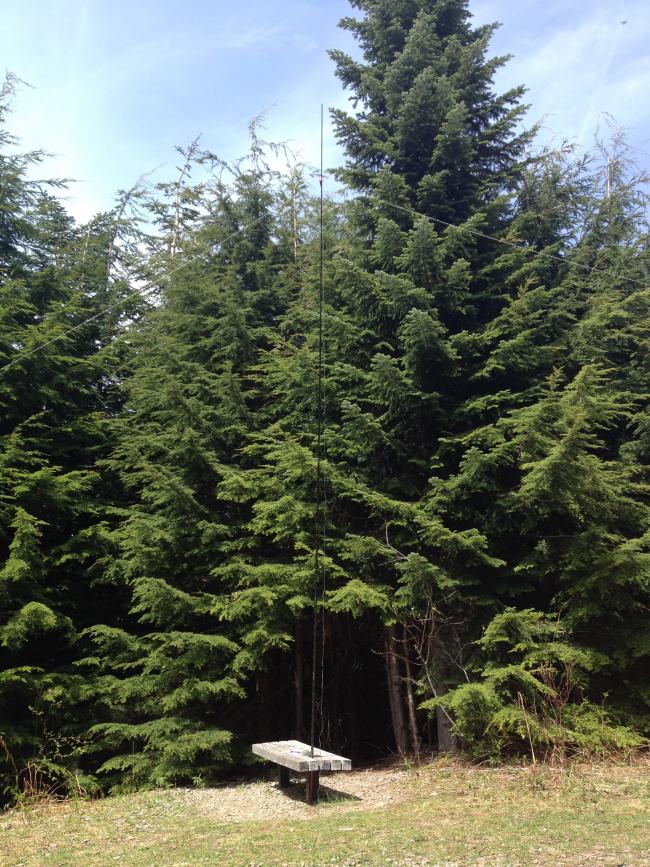
A BIG thank you to all my Contacts & Chasers. This was a test of new equipement including radio, antenna and battery. Everything worked very well.


