Summit:
W7O/CS-051
Voice Cellular Coverage:
Decent, workable
Data Cellular Coverage:
Decent, workable
Cellular Provider:
AT&T
APRS Coverage:
Don't know - Two options for bushwhacking: north or south. Both options are serviced by well-maintained FS roads. The south side is a bit shorter, with 100 feet less of elevation gain, and satellite imagery shows significantly thinner vegetation. For reasons that I cannot recall, I chose the north side, and it was a grueling mosquisto infested snag of deadfall and thick young trees: a distance of 0.37 miles, with 484 feet of elevation gain.
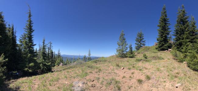
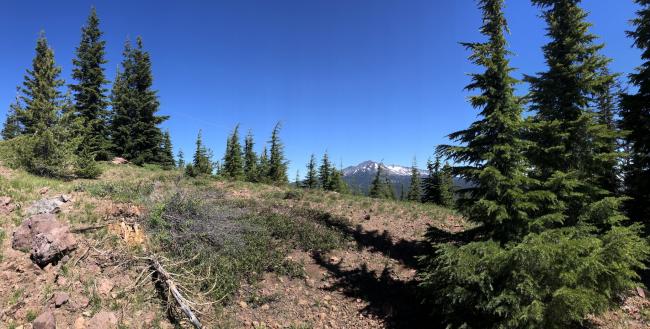
- Summit consists of a long flat ridge with open areas and rocky outcroppings, including the remnants of an old lookout tower—many options for different antenna setups.
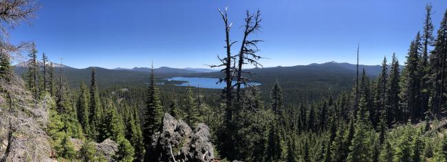
- There are several summits in the area to make it a two- or three-summit day. I made the 10-mile trek over to Windigo Butte (W7O/CS-054), and enjoyed the transition from wet to dry climate and the red pumice roads. There are also OHV and hiking trails (including the PCT) around Timpanogas lake, which connects with Sawtooth Mountain (W7O/CS-024). Bring extra water if you go east, as temps rise and humidity decreases significantly.
- I saw three black bears during my three days of activity in this area, so bear spray would be a good idea.


