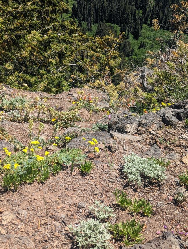
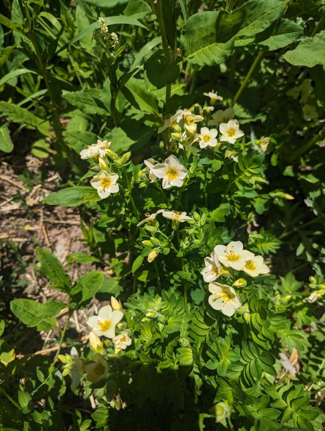
I followed the advice of Peakbagger and used a collection of their suggestions, to end up doing a decent job following this at-times hard-to-follow route. This mountain is a beautiful place to see a diversity of plants, and the trail itself is a substantial challenge to follow compared to other hikes, but it is clearly a well-loved summit by locals, despite the plants trying to take the trail back. Do not attempt this without clear photos of the turn or a really good map and good orienteering skills; I strongly recommend using GPS to find the turn and keep yourself on-route for the trail that gets you to the ridge.
Start by driving on US 21 towards Santiam Pass, or to the US 20/OR 22 junction, then west on US 20. Directions to Echo Basin Trailhead will serve you well. This road is approximately Priusable, with one dip you should take at an angle to avoid scraping your bumper.
Hike up the trail .6 miles to a bridge on your right. The trail splits here, making a loop: to your right, .35 miles to the turnoff, a high-quality trail, diverse species, beautiful huge western redcedars, and a meadow full of false green hellebores. To the left, .45 miles to the turnoff, a trail that quickly degrades with uncleared trees, broken bridges, choking devil's club, and several opportunities to step into a sinkhole in which a stream runs - but hey, you don't have to descend 40'. The swamp has lots of water and if you tend to run out, this is a great place to fill up; the next 1200' of gain are pretty exposed to the sun.
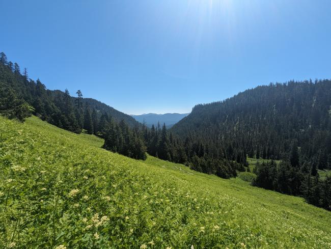
At this point is a marshy, mossy, saturated bit of land, right after one bridge, a clearing past some bushes I can't remember. You turn northeast up this embankment, and find your way between a few trees (without bushwhacking, but with careful steps to not muck down in the waterlogged moss) and you wind up out in a huge meadow, which you should be able to see a trail as just a cut in the plants where they grow less vigorously. This trail should be visible basically the whole way to the saddle, by which time it starts to fade from lush valley vegetation to sparse and xeric alpine meadow. The trail rounds the corner and starts up a ridge. Use GPS to help you here, after a while, because you may find yourself on a bad path; however, heading forward, you should mostly be able to see where the trail goes.
Once past Echo Mountain North, you'll turn southwest down the ridge, and have some bushwhacking to do. The trail loses itself and appears again; we had piles of snow, that made it a little hard to find the trail, but the trail was right under the last snow left from the season. You should wind up having a decent trail that works its way around and then cuts steeply up the second false peak, and be able to follow it around until you all of a sudden both pop out from the forested and soil-dominated landscape to a rocky/subalpine dust environment, and see the last ridge to the summit. The trail is a little easier to follow here, all the way to the summit, although we did end up off it a few times. It dodges left to avoid trees, and then winds right to dive straight into them.
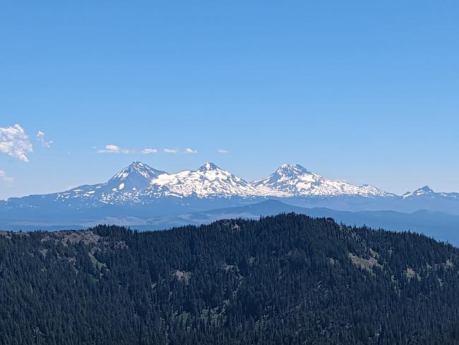
The summit has magnificent views of the Sisters, Washington, Three-Fingered Jack, Jefferson, and Hood. There's a metal capsule holding the summit register; I left my callsign. There are also amazing shady spots to set up antennas, with tall supportive trees, just back along the trail, which follows the ridge of a quite long activation zone.
I rate this summit highly, for the adventurous. I had a great time, despite running out of water before making it back to the swamp. We took our time collecting plant observations, but don't underestimate how much time you'll spend routefinding on the ridge. The whole hike came out as just under 5 miles, but my track showws substantially more, so who knows how much extra backtracking and poking around you'll end up doing?
ViewVoting details
Echo Mountain, OR | June 2023
Summit:
W7O/CM-053
Voice Cellular Coverage:
Decent, workable
Data Cellular Coverage:
Good, very usable
Cellular Provider:
Other
APRS Coverage:
Don't know 


