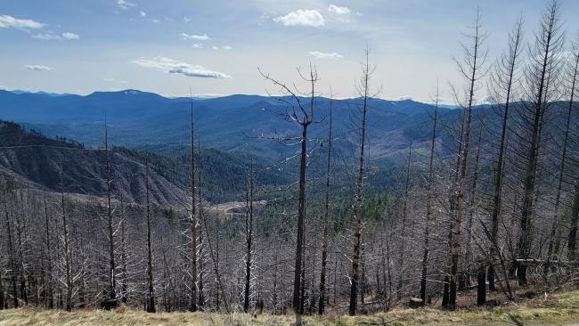
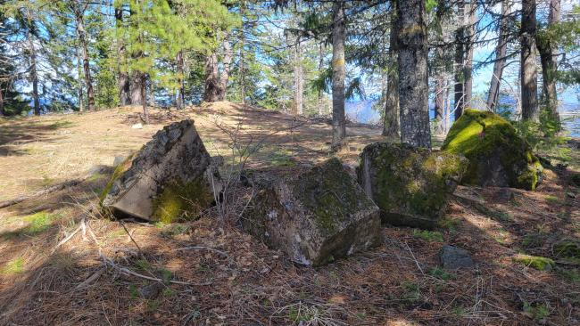
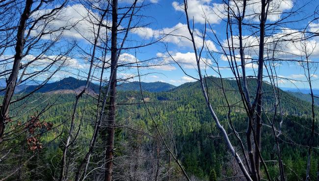
This was #4 of 4 in a day. Battle Mountain on a map looks like it is a drive up but it is not. It is mostly a burn scar and the original lookout road (lookout is gone) has been bermed. It is a very nice summit on top. Flat, open but big timber for shade and a view. Lookout ruins, footings. Getting up was not easy though.
Take May Creek to Battle Mountain Fire Road. There are many side roads so it may help to have GPS to stay on track. Head to 42.63905, -123.11305. There is a lot of dangerous snags in this area. To get to this mark we had to clear 3 windfall trees with a hand saw. You can either hike up the old road from here or find another ridge to go up. I ended up driving to the west side and find a boulder blocked road to take off at and then just went vertical up until I hit the old lookout road for the last bit. You basically have to climb 400'gain in 275yards. My tracks are available on map. This side of the mountain is less dangerous, live timber and is also open. I came straight down the west side thru the burn but I don't recommend. With the wind it made me nervous.
Some history online to this lookout. This was an exciting day of 4 first activation summits, during one of the worst solar storms I've experienced. Not a lot of qsos for 4 summits but it made for guiltless moving on after each one.
de AG7GP


