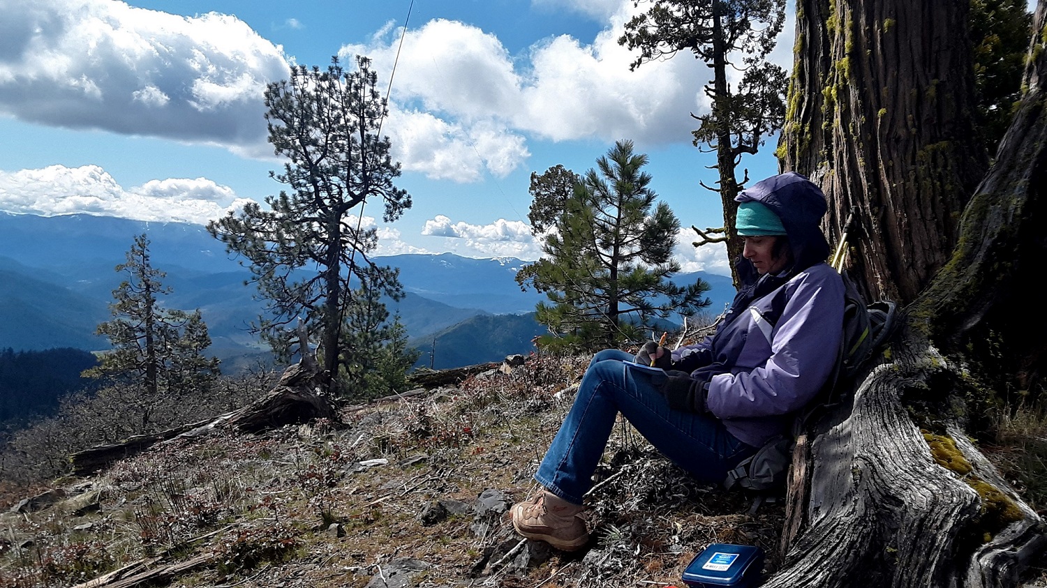
Follow road maps to Forest Creek Rd off of Hwy 238. Forest Cr will fork, keep left, there is an old schoolhouse on your right at this turn. Take this until will there is a large sign for Oregon Belle Creek Access Road. On google this is Isabelle Mt. Rd but there is no sign with that name. Road is worn through asphalt with plenty of potholes but very driveable. Drive until you reach Isabelle Saddle, info board and picnic table are present. Plenty of room to park here or to the right near the gate, just don't block gate. Hike the road that is gated, it will fork after a short walk, take the left fork of the road up to the summit. The hike is approximately 2.5 mi RT, with approx 900ft gain. Equipment on the summit but I had no interference. Plenty of room to operate and trees and rocks to use to set up with. Great view of the Siskiyous and beyond.