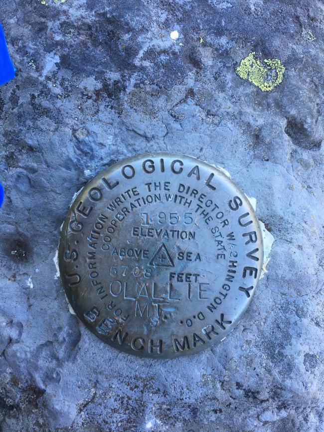
On July 26, Olallie Mountain, W7O/CM-061, was activated for the first time. Olallie Mountain has an elevation of 5,700 feet and is located in the Three Sisters Wilderness Area of the Willamette National Forest. The trailhead is reachable by driving 50 miles east from Eugene, Oregon, on State Highway 126 to Aufderheide Road 19. Between mileposts 45 and 46 on Highway 126, turn right onto Aufderheide Road 19 to the Cougar Reservoir Dam. At the dam, turn left crossing over it. This road becomes Forest Road 1993; it changes from paved to gravel but is well maintained and suitable for passenger cars. Travel on 1993 for approximately 11.3 miles to the Pat Saddle trailhead and turn right into no-fee parking area. At the parking area, there is a small U.S. Forest Service kiosk which has a box for free, self-issued use permits for the Three Sisters Wilderness Area. One should fill out the permit form even for a day hike. There are two trails leading from the kiosk; one is the French Pete Trailhead to the right and the one to the left goes to the Olallie Mountain summit.
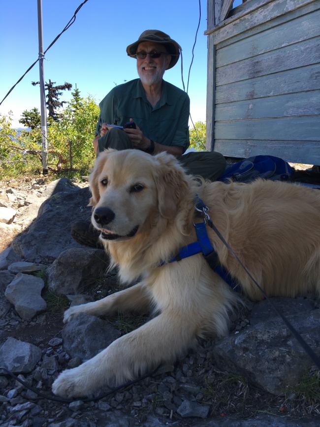
The trail to the summit of Olallie Mountain is 3.6 miles (7.2 miles round trip) with an elevation gain of approximately 1,200 feet. This trail is rated moderate (see Central Oregon Cascades hiking guide by William Sullivan which is a great reference) and is obvious in most places. The first half of the trail is a gentle climb through Douglas Fir/Hemlock forest, huckleberries, and bear grass. The second half of the hike is where most of the 1,200-foot elevation gain occurs. The trail switchbacks up to the summit. The summit is exposed and has a formerly used Forest Service lookout building (not a tower). The building is secured by cables and protected with lightning rods. The summit provides an exceptional panoramic view. The day was clear and we could see Mount Hood to the north, the Three Sisters to the east, and Mount Theisen to the south.
Equipment used included a KX3, a Pak-Tenna 10 meter long collapsible mast, and a 40-6M end feed HF antenna (32 feet of wire). I used the building's guy wires to prop up antenna mast. Contacts were made on 20M and 40M SSB. As is usual, making phone contacts is a challenge and is motivation to relearn morse code. I was able to make enough contacts to activate the mountain and gain 6 points.
Olallie Mountain is a wonderful hike and doing a SOTA activation is a great addition. I highly recommend this hike if you are in the area.


