After failed attempts at Burnt Hill [W7W/NO-108] and Display Mountain [W7W/SO-105], I drove down Donkey Creek Road east of Highway 101 to a spot where the satellite views from Google Maps and AllTrails.com show a road splitting off to the east [47.303033, -123.834128].
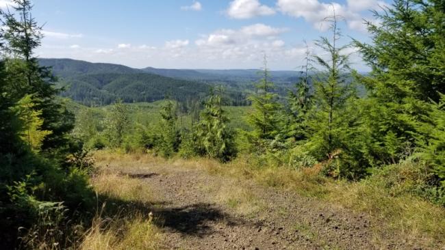
I parked here and passed a gate -- no 'no tresspassing signs' or other indications I was on private land (see photo).
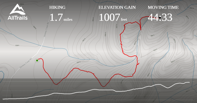
I walked up a path charted on the disused network of logging roads; they are not marked as trails. [See AllTrails map that I made from the satellite view.] The hike was tough due to the incline and the fact most of it is exposed (and perhaps my own level of fitness). See the recording, below. I went astray at one point and my phone lost track of its position near the top, where it looks like I fell off a cliff. But the chart I built on AllTrails turned out to work out perfectly.
After 45 minutes, 1.7 miles and about 1,000 vertical feet, I made my way to a clearing at the top, within the activation zone. I had cell service and spotted myself on 20 meters, and within two 'CQs' Mountain Goat N1CLC came back to me, followed by another dozen QSOs on 20m and eight on 40.
Checking the Washington Public Lands Inventory website and by looking at a map of Grays Harbor County timberlands on this map, I see the activation zone is on Grays Harbor County land.
It was a great hike in the Southern Olympics on a beautiful summer day -- topped off with a first activation of 1260 Wavelength Peak!


