A friend from Eugene wanted to hit Mount McLoughlin in the winter and despite the drive distance from Beaverton, it looked like too beautiful a mountain to pass up. After picking up rental snowshoes from REI in Medford I made it to the Summit Sno-Park TH at sunset. Casey arrived shortly after and we made some quick dinner on our backpacking stoves then turned in for the night.
We hit the trail at 3:06am in the dark. The snow in the parking lot was ice hard and in our hubris we decided to leave snowshoes at the cars. The winter route crosses the PCT and goes off trail. Almost as soon as we were off trail we were having minor postholing. Were snowshoes entirely neccessary? No. Would they have been nice to have? Probably.
The bushwacking & routefinding in the dark took a toll on our morale. It's in the forest and without a landmark to easily sight we were constantly checking the GPS to make sure we were headed the right direction. It was slow progress. Finally we started to get on the mountain proper and routefinding in the dark became easier and our pace improved.
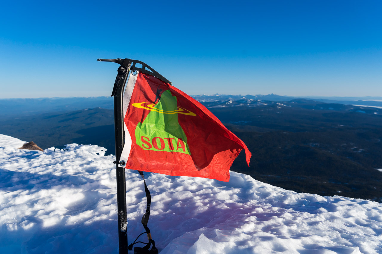
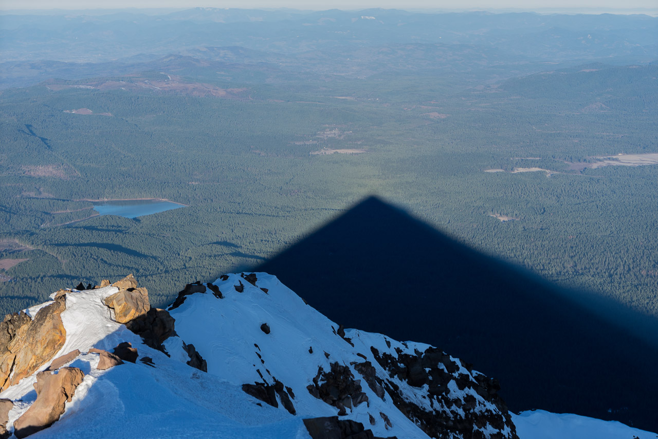
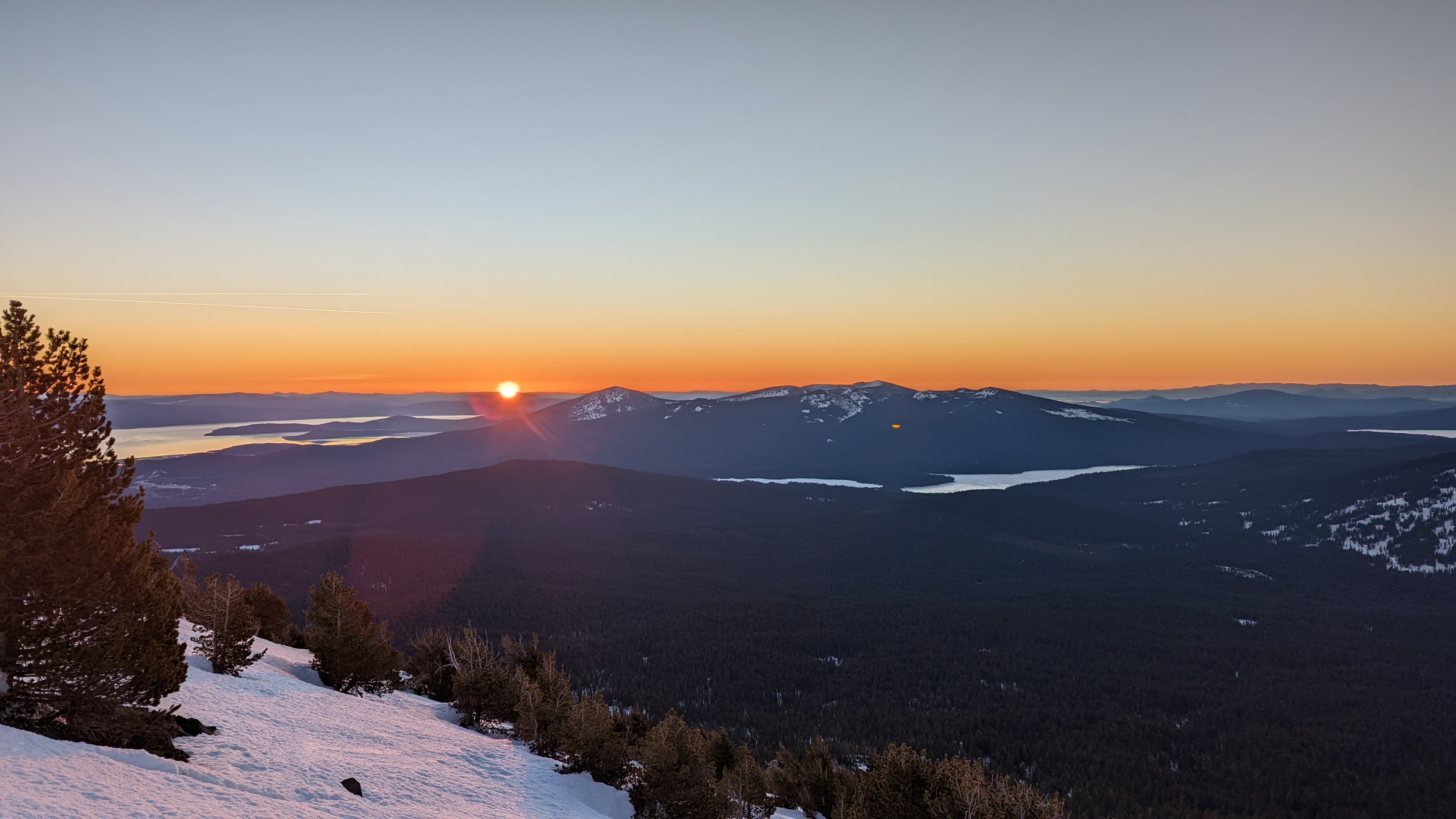
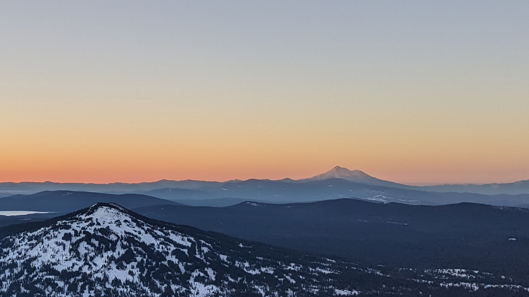
We put crampons on just as alpenglow started and our pace again improved despite the steepening mountain. It was one of the best sunrises I've seen. Shasta looked beautiful. Now with daylight to help us. We gained the ridgeline and headed for the summit. Snow was good. Soft, but firm. Not overly icy. We made summit at 8am on the dot.
After taking in the views and some photos, I fired up my HT with the MFJ Longranger and got a spot out on cell data. I made about 5 contacts and then set up HF.
I've been using the K6ARK End-Fed Random Wire antenna with the KX2 on my past few activations and have been loving it. I set up an inverted V with the counterpoise going the opposite direction and my first QSO was a 10 point S2S in Arizona with N7CW on 40m. I worked 40m for about 15 minutes and when the pileup dried up I switched to 20m. As I was switching I got two more 2m contacts. I worked 20m for 6 minutes and got 5 QSOs in that time including a 10 point S2S in Kentucky with NE2P.
By 9am we were hearing snow slumping off the summit and decided it was time to QRT. I shut down the rig, ate a cookie as I took the antenna down, and we started out descent.
We opted to hike the whole way. Not sure why we didn't discuss glissading. The hike down the upper mountain was fine. Routefinding back through the forest, although easier in daylight, again took a toll on our morale. We had moderate postholing. Nothing terrible, but would snowshoes have helped? Probably. We made it back to the car at 12:15 for a total car to car time of 9:09.
Route: https://www.strava.com/activities/6673988784 (the "hard" way)