There appears to be a false summit around 5160 feet near the "end" of the trail to Bandera that is about half mile and 80 feet of elevation gain to the actual summitr.
From Seattle: Go east on I-90 and take Exit 45 and turn under the freeway. Follow the road and turn left at a branch after about half a mile and continue on a traverse for another three miles or so to the trailhead parking lot. The road can be driven by any passenger car. The elevation gain is about 2,100 feet. A Forest Pass is required for parking.
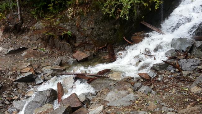
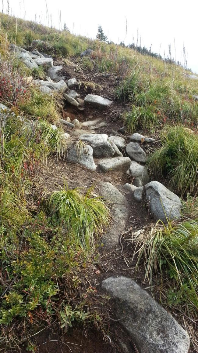
The total round trip hike is just short of nine miles and 3100 feet of gain. Take the Ira Spring Trail to the junction for Mason Lake and Bandera Mountain. Here the Bandera trail turns into a staircase – about 1100 feet are gained in the next third of a mile. If you think it’s hard going up, think what it will be like on the way back. (You could do nearby Defiance instead.) And I was happy to have poles with me to cross the creek pictured below.
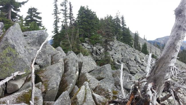
The trail continues along the ridge to the false summit that is just withn the AZ. If you want the summit proper, from here things get a bit tricky. In many places you need to boulder hop on the large granite rocks. A GPS may be essential to find your way to the actual summit - stopping the edge of the AZ looks good by comparision.


