2012-07-07 W7W/RS-046 CN96as86
After the long Iambic adventure I was looking for something easy and short. I choose Mount Wow, and read a lot of trip reports about the mountain. I had three choices to get onto the top. On the west ridge, from south following the old national park border trail, or from east using the Alan lake trail, which is also abandoned. At the end I decided to try it from west. This one is the shortest and most likely the easiest too.
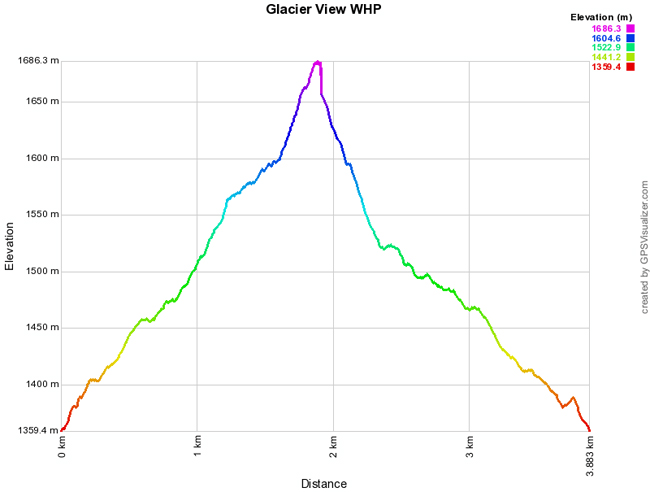
Start elev.: 4460 ft (1359 m)
Max elev.: 5532 ft (1686 m)
Total ascent: 1113 ft (339 m)
Trip odometer: 2.4 mi (3.862 km) Up: 1.2 mi (1.931 km) Down: 1.2 mi (1.931 km)
Total time: 5h46m Up: 2h19m Down: 1h20m
APRS

I skipped the early start from Seattle and arrived around half past eight to the forest road junction. It is very narrow, because of branches both sides, but I was able to drive through. At the end of the road I met with two campers. They were walking back from the direction where I wanted to go, so asked for some intel.
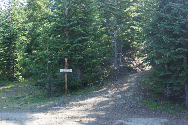
They told me what I pretty much already suspected. It is very dense. Thus, to avoid bushwhacking, I changed my plans to another near summit. I wanted to avoid any dense vegetation. Recently I found two ticks in the flat, I think they could get into my backpack on Sawmill. So this time I rather skip any place where I can come across with them. The path towards this summit is accessible from the Christine Lake trail.
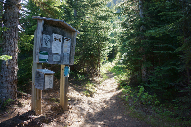
There is only one another car at the trailhead. There are space for 5, 6 cars. It is over nine o’clock when finally I start my hike. My plan was very simple. Follow the trail towards the lake, then up to the ridge. Follow the ridge till the summit base and then climb to the summit. I do not expect any snow and left crampons and ice axe in the car. Using my Hanwag summer boots on this hike. This has a much more flexible sole than my winter boots.
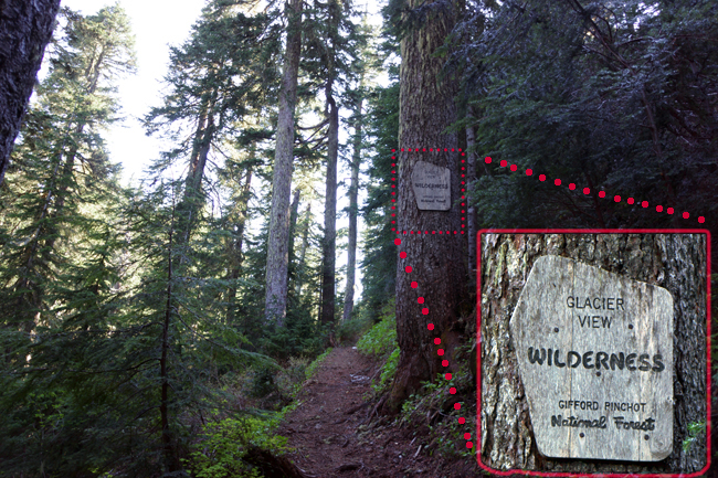
I travel fast on the easy terrain. At one point the trail turns to right a little, but there is another path going straight up. I choose this steeper option. I hope that it is only a cut through and later it will join again with the main trail. This is exactly how it happened. A good looking wilderness sign.
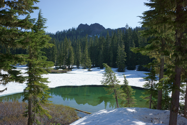
At one place there is some serious snow in front of me. Must be piled up by avalanches. It is very steep and slippery and I can only cross it very slowly. With this pair of boots I cannot kick proper steps into the hard packed snow. However, I was able to cross it and in half hour from the car park I reach the lake. A big portion of it is still under snow. The rocky peak in the background does not look any promising. I hope the summit will not be like that.
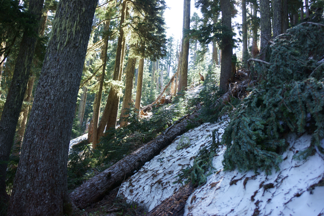
I could not find any trip report about this summit. I pass the lake and turn towards the ridge. Under the trees there is not much snow, but still I cannot travel fast. Takes a lot of time to go around or over dead trees on the ground. I realize that I should have brought the crampons with me. It would have helped a lot on the steep hill. Some places I have to take difficult steps to get on top of a pile of snow.
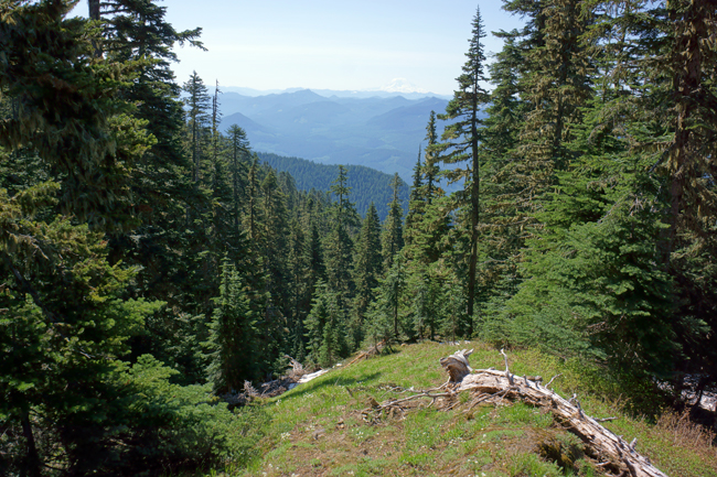
Eventually I need half hour to get onto the ridge. It is extremely dense. Short pine trees and bushes slow me down. I am not happy at all. I wanted some easy hike, something like the one up to Tumtum. I find myself on a small opening. Here I rest for a little, than I continue bushwhacking.
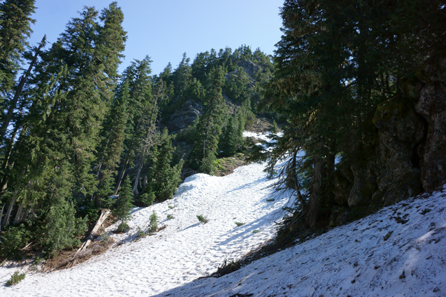
A half hour long suffering finally got ended at the summit base. There is a very good gulch where I could climb up very easily on the snow. However, I do not have the crampons and the ice axe with me. Damn, that weight saving! On the right there is a steep rocky section. I start the climb there.
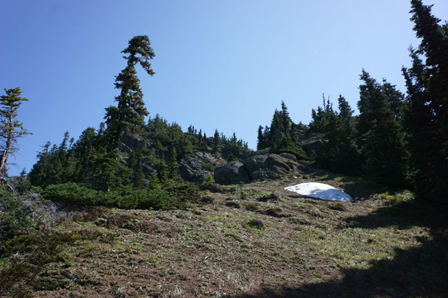
It is very steep. The top layer is quite loose. Below that solid rocks. This combination is very slippery. The small rock bits are rolling on the solid base. I wipe off the top layer to get firm steps. One point I also have to use my hands for a step. I would have been much more simpler in the couloir.
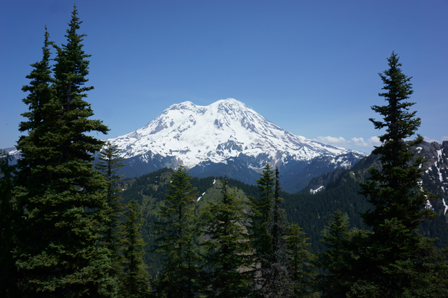
I got annoyed by all this suffering. Looking back now, it does not look so bad, but I remember that I wasn’t happy back than at all. At the summit the only good thing is the view. That is astonishingly awesome for me. Never thought it will be that good. Mountain Wow and the volcano definitely has a high “wow” factor.
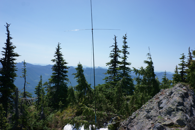
The summit itself is tiny. I decided that I will try six meter. I was able to set resonance on the buddipole easily. Luckily there was a small snow patch still at the summit what I could use to hold the pole. No guying required. I made enough Qs in no time. Lots of people are listening on 50 during summer time.
Now, this is the WOW factor I am talking about. Mount Wow in the foreground.
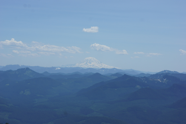
Adams in the distant south.
After 15 contacts I pack up. Weather is hot. At 1330 I am on my way down. I spent the shortest time at this summit so far, six meter was a lot fun on the other hand.
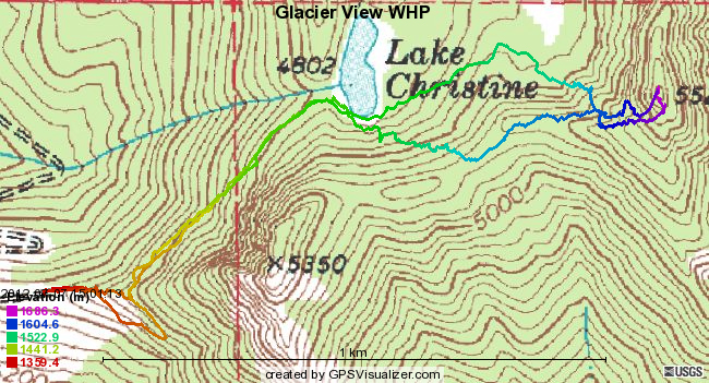
I am using the gully on my way down. I am sliding down on my butt very slowly. I not dare to start a glissade because I do not have anything to brake. My hands got frozen quickly because I do not have gloves with me. So I have to stop very frequently to warm it up. When reaching the summit base I am not merging onto the ridge, but going straight down towards the lake. This route looks way much better for ascending also.
Soon I find myself at the car. I have a small headache over the strong sun. Looked around the area nearby and drove back Seattle through the National Park. Stopped at the sidewaterfalls at Stevens Canyon road and washed my face. This was very refreshing. :)
HG1DUL 2012-10-14


