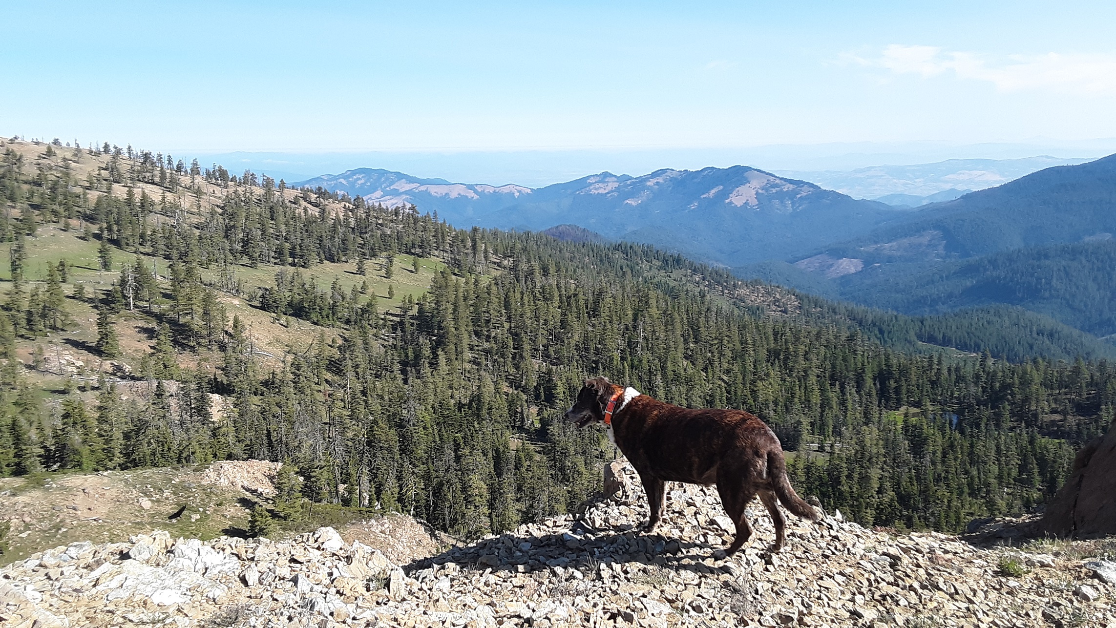
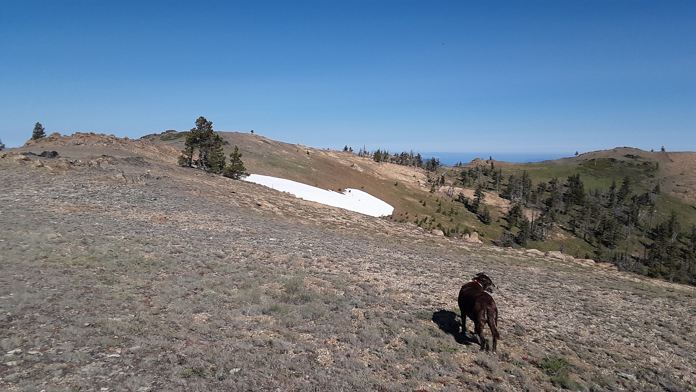
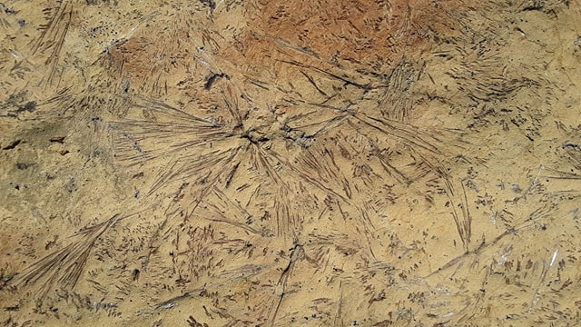
Big Red is one of several mountains along the Siskiyou Divide. From road 40S29, the hike is relatively easy, starting through the timber and then it opens up to a short climb to the top. I did not keep track of details but my memory guestimates a fairly easy 1/2 mi hike, about 200' gain, Big Red has fascinating rock and crystal formation on it. Abundance of wildflowers in early summer. So lots of rock, a few trees on top for setting up and no interference. Spectacular 360 view of the area including Shasta to Crater lake rim, Monogram Lakes, a few small natural mountain lakes below. There a some mine remnants around and what look to be burials? Not sure what the piled up rocks are.
Big Red is one of many mountains I have wanted to hike for years but never took the time until SOTA. The PCT winds around it and a historic trail, Seven Mile Ridge Trail, starts at Big Red and follows the ridge down and finishes pretty much at our family ranch near the Little Applegate River. I have hiked much of Seven Mile Ridge before but never had been to the summit. So far it is one of my favorites but I may be a little biased to this area, but you can't beat the view.
There are a couple ways to access Big Red. We chose going up from Talent to Wagner Cr Rd. to Wagner Gap. At the cattle guard turn left on NF Road 22 until you reach the intersection with NF Road 20, near Siskiyou Gap. Take NF Road 20 right (west). This road can be pretty rough at times. Have good tires, a spare, and higher clearance may help in some areas. You can also come from Beaver Creek Rd./FS Rd 20 on the Applegate Lake side. This may be longer for some but you can avoid a lot of rock crawling from Siskiyou Gap to Big Red. We turned at jeep road FS 40S29, parked at ridge and followed a makeshift trail to the summit ridge. This road is sometimes closed with boulders but if so it won't increase the hike too much especially if you choose to hike up the south meadow front from Rd 20. Currently the trail from 40S29, has many cut rounds along the trail that FS left from 2018 Hendrix Fire. I would not recommend going further toward the west facing side to hike, as it is very rocky and steep, and probably not safe.