Peak 4816 Update

Summit
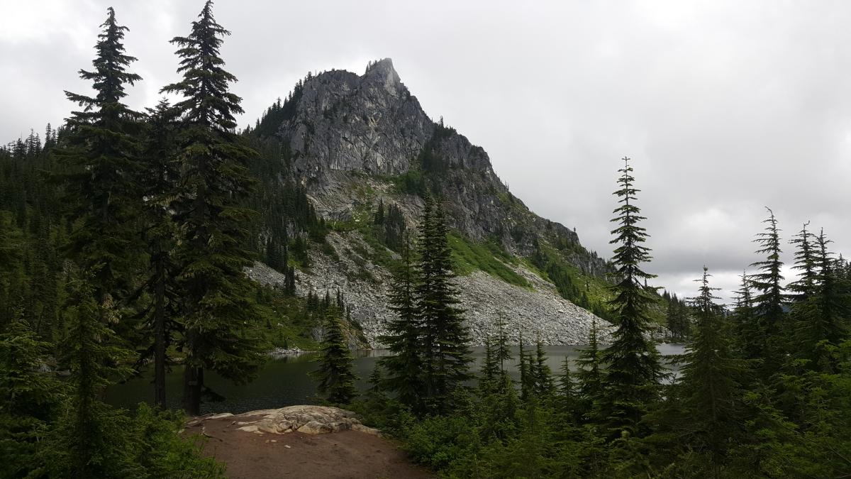
This is an update to K7ATN's blog entry. The road was easily passable all the way to the "summit"/rock outcropping. I drove a Kia Sportage with no issues, no gates, no tight spots. It appears as if someone in the last year has come through and cut some of the trees close to the road. Don't get me wrong, but the dirt road is NOT wide open, but easily passable without touching the trees on either side.