Summit
APRS Coverage
Full two-way messaging
Voice Cellular Coverage
Don't know
Data Cellular Coverage
Don't know
From Hall – Set Odometer to “0”:
- Go West on 513 for 2.2 miles
- Turn Left (South at “T”) continue to mile 3.5
- Turn Right (West), continue on road. Stay to right at fork (mile 9.7)
- Stay on main road at mile 10.1. You should be on the N. Fork Willow Creek Road 358)
- Turn left (southwest) at Mile 15.3. This is till road 358.
- Continue to Mile 18.6
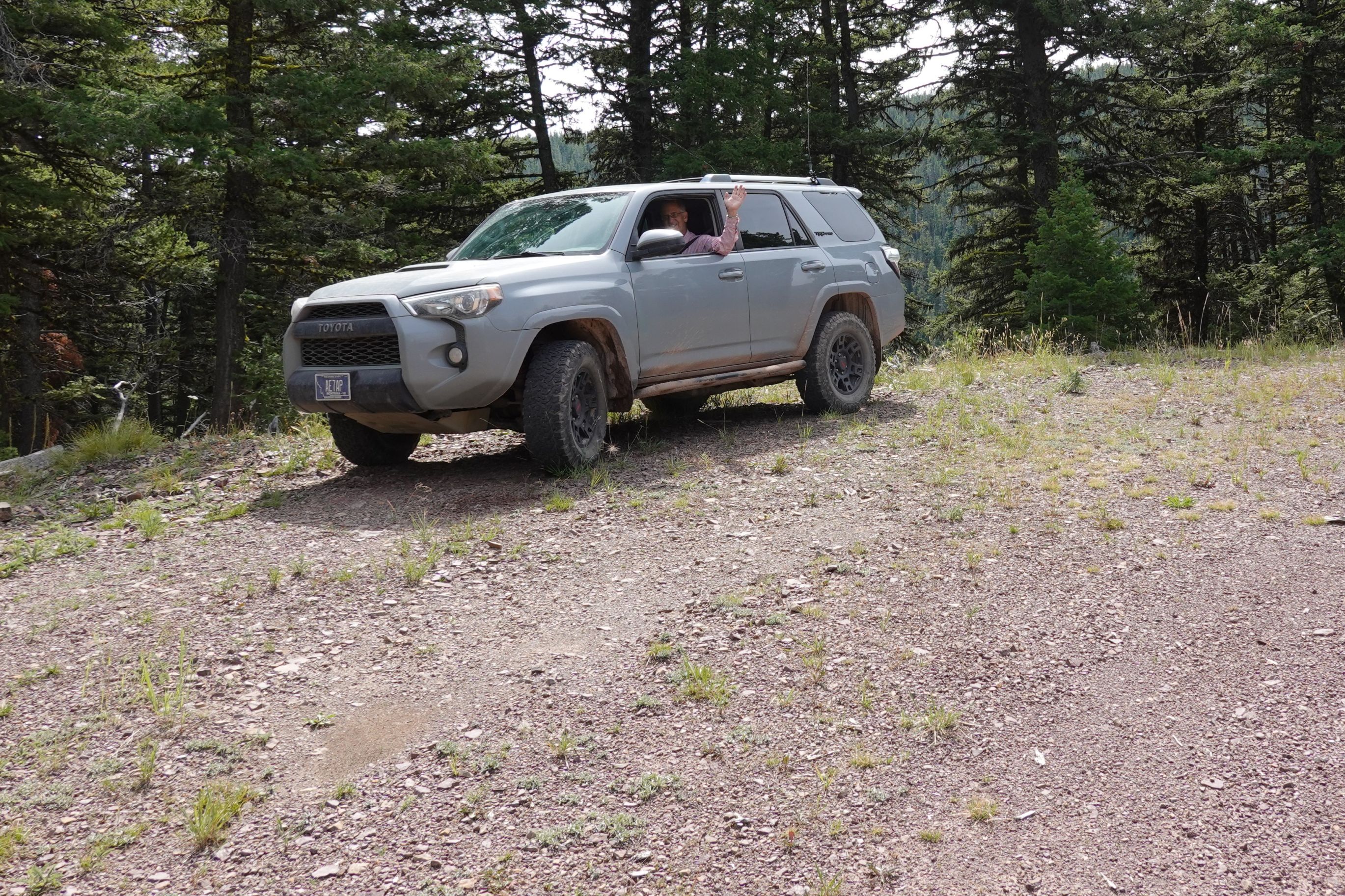
- Continue through gate (road closed 9/1 to 6/15) for 1.3 miles. Park at bend just before road splits.
Hiking Instructions (2.0 miles, +680 feet):
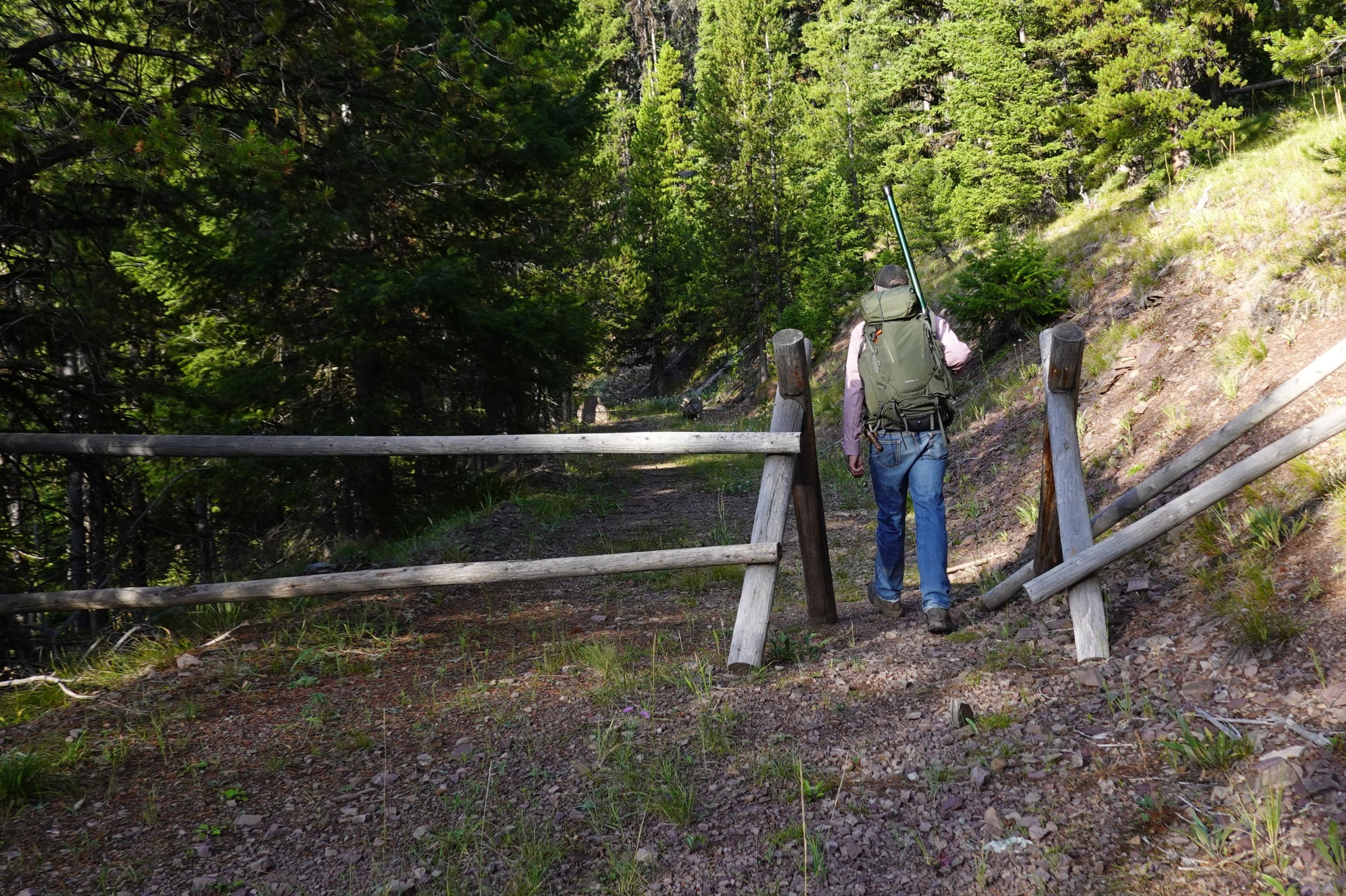
- Take left fork (slight downhill) at parking area and walk through fence.
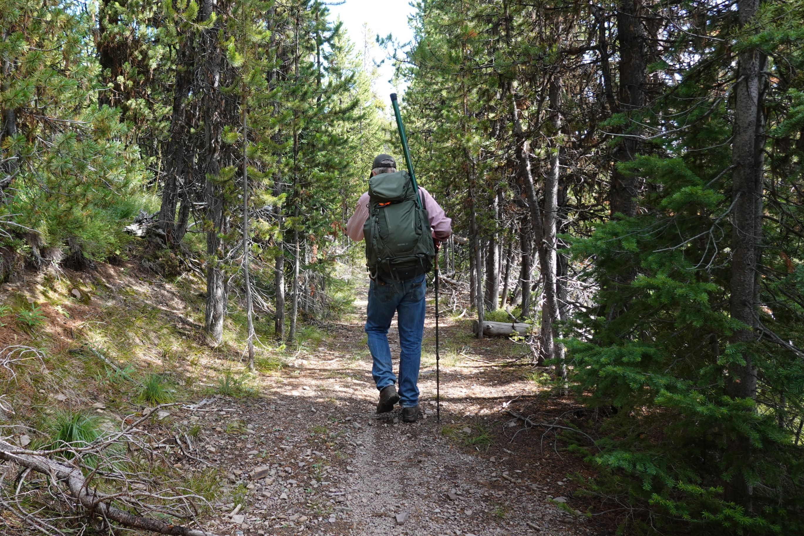
- Follow old logging road as it gently ascends to ridge at elevation 7,337.
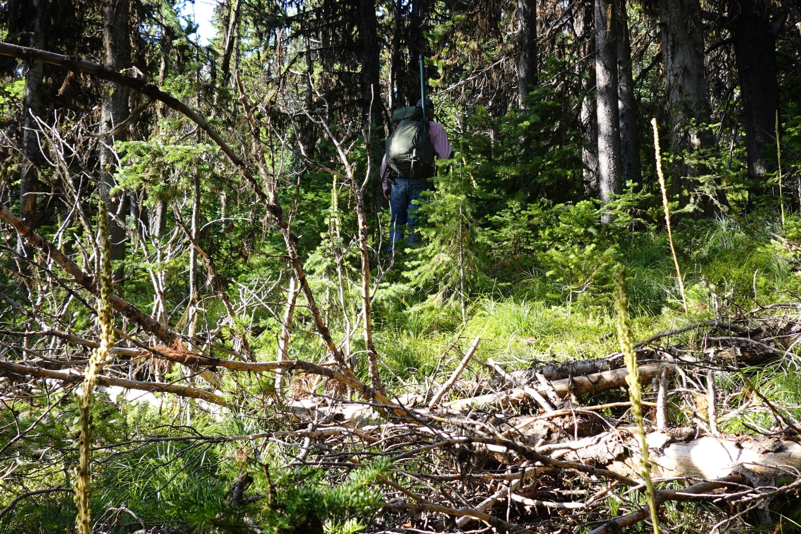
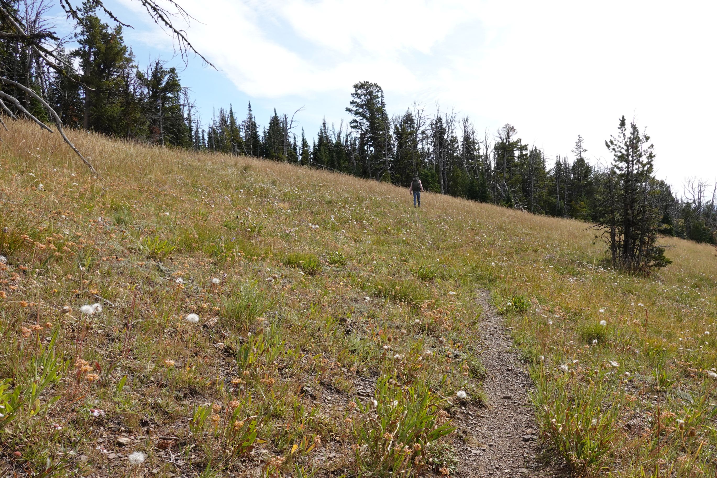
- Follow single track up ridge, then bushwack to summit.
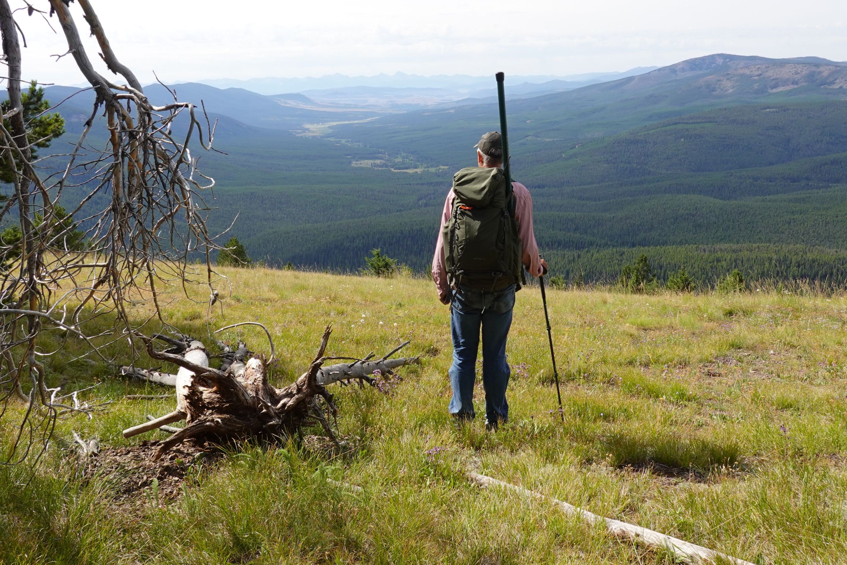
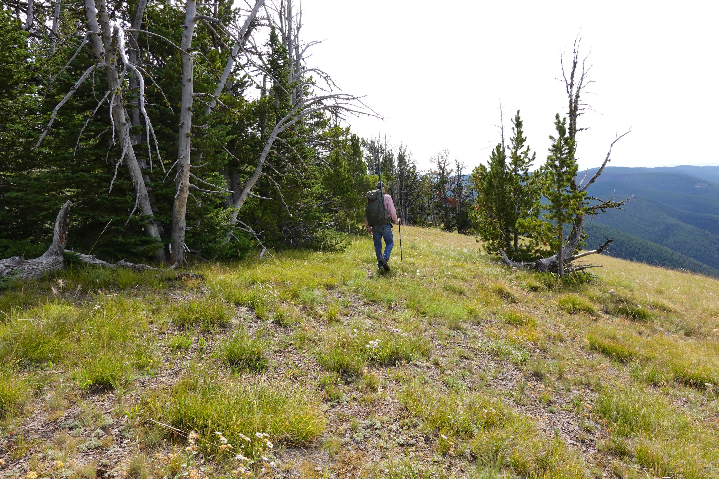
The actual summit is in heavy forest with no views. The upper edge of the meadow has views and should still be in the activation zone.
The described route is how we descended. We ascended using the shorter bushwack up from the old logging road via the northeast ridge. This was not a bad route, but it was steeper than the described route and the timber and deadfall became thicker for the final 300 vertical feet. I definitely preferred the longer on-trail route.
Pictures