1.3 miles; +726 feet; -11 feet
Driving Portion:
From the Junction of River Street and Mullan Road on the north side of Superior:
- Drive west on Mullan Road West for 6.4 miles. The road will go westerly along the North side of the Clark Fork River, then turn up (North) Pardee Creek.
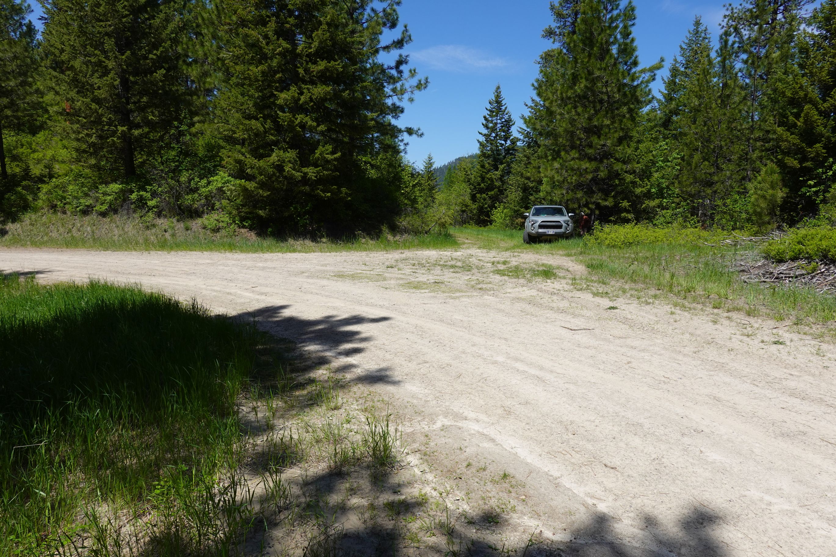
- Turn Left (Northwest) on FS 7876 / 7866. Drive up this road 1.5 miles and park at the junction with a gated road that turns left from the main road.
Road Walk Portion:
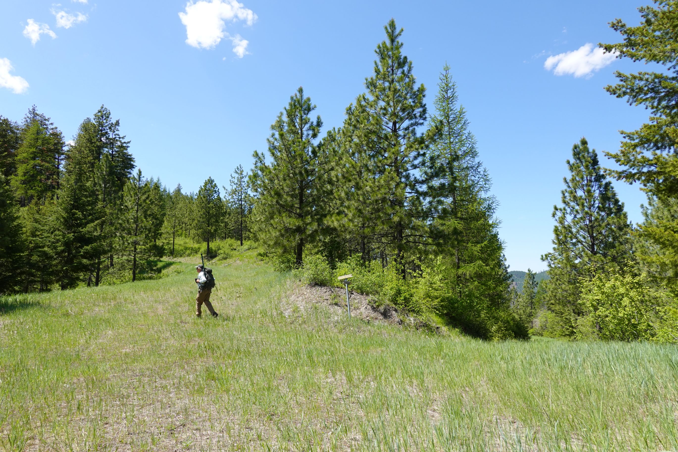
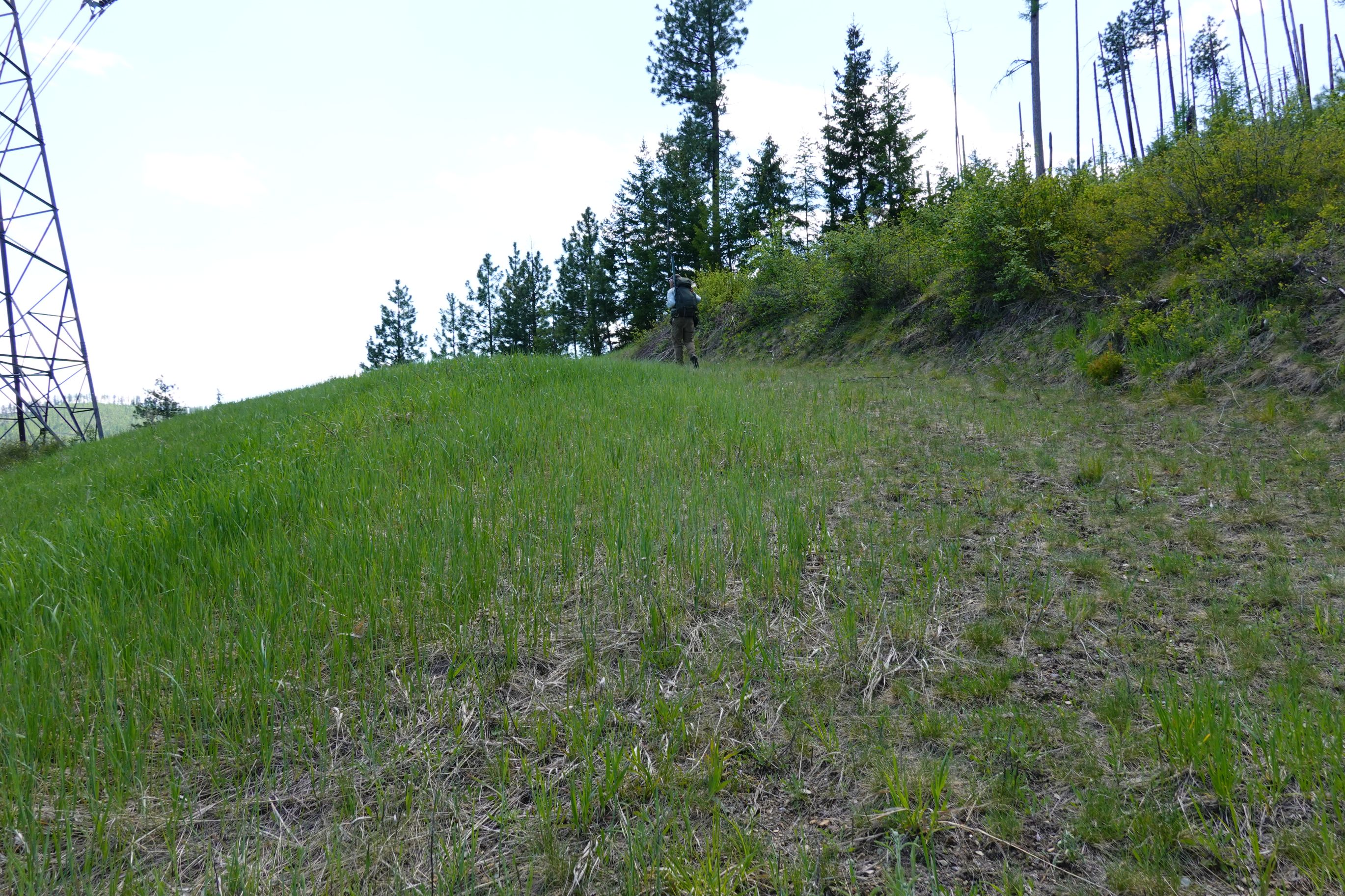
Park near the gate and walk west and then south along the forest road. Turn left (southeast) at the “Y” in the saddle that is located at the base of the north summit ridge. Follow the road around the north and then then the eastern side of the summit to the powerline. Turn right (west) onto the powerline access road and follow that to the crest of the ridge.
Off-Trail Portion:
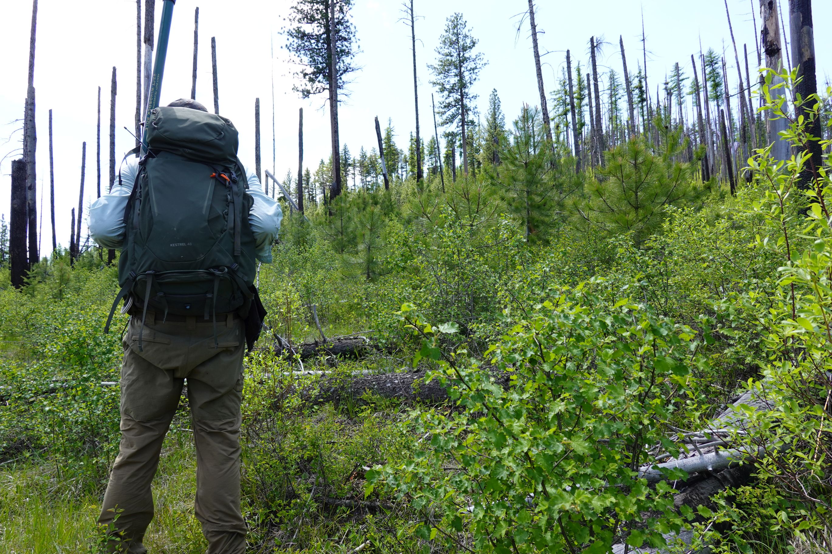
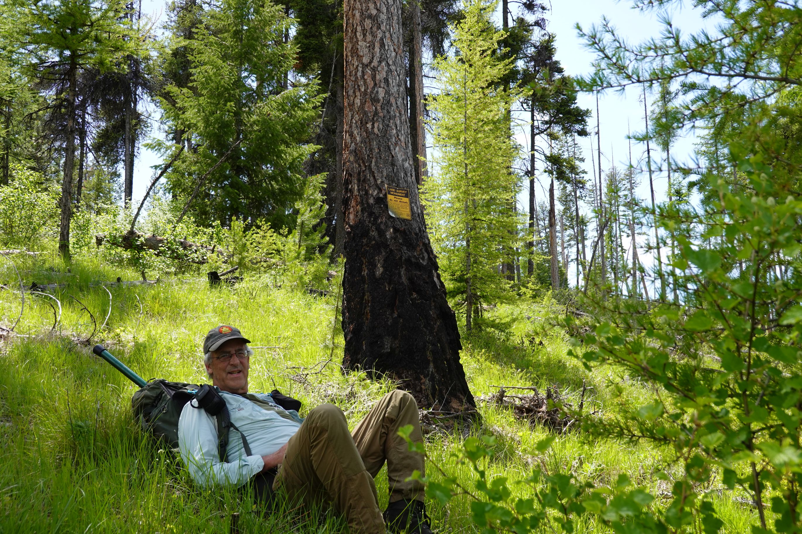
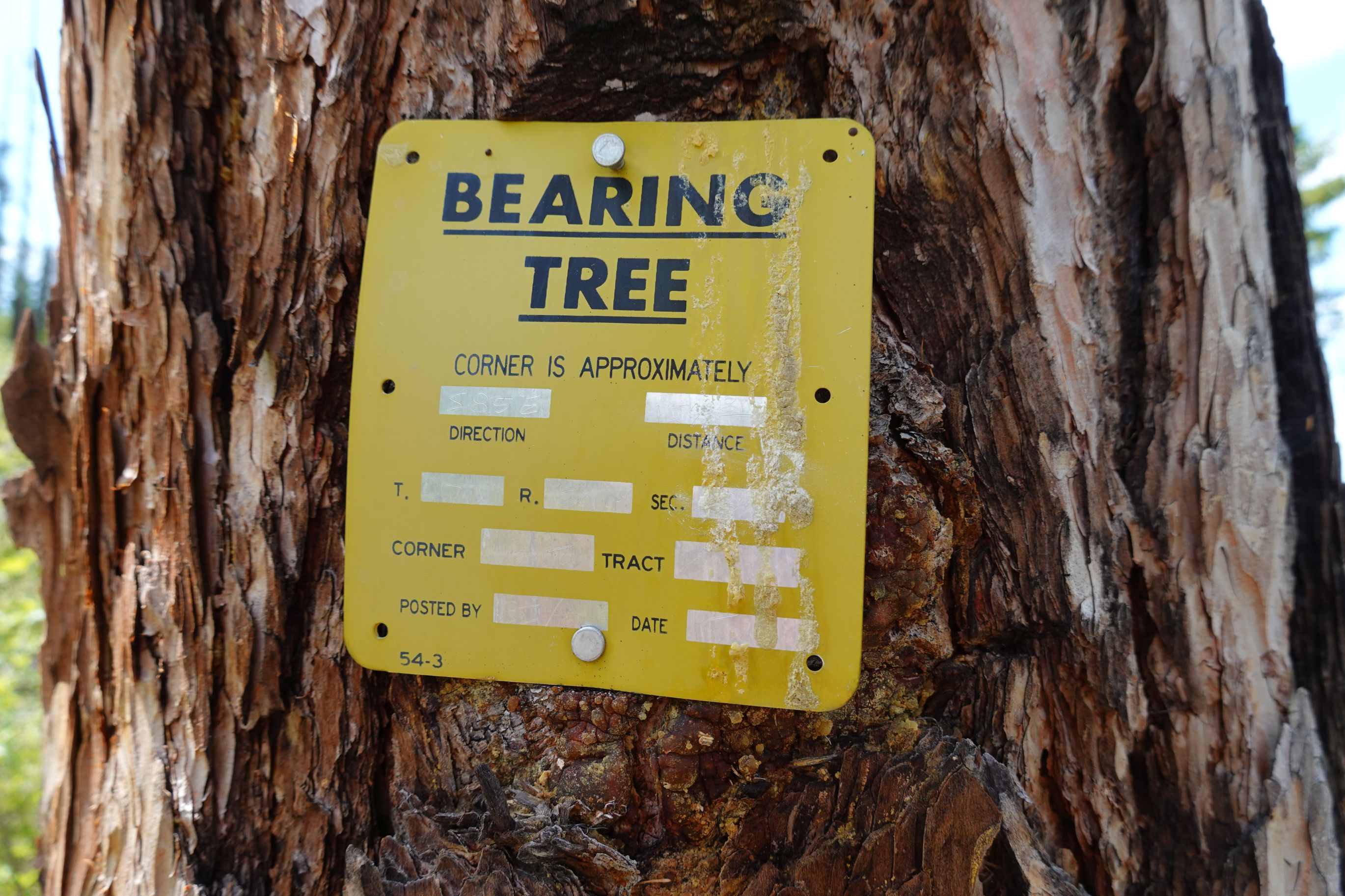
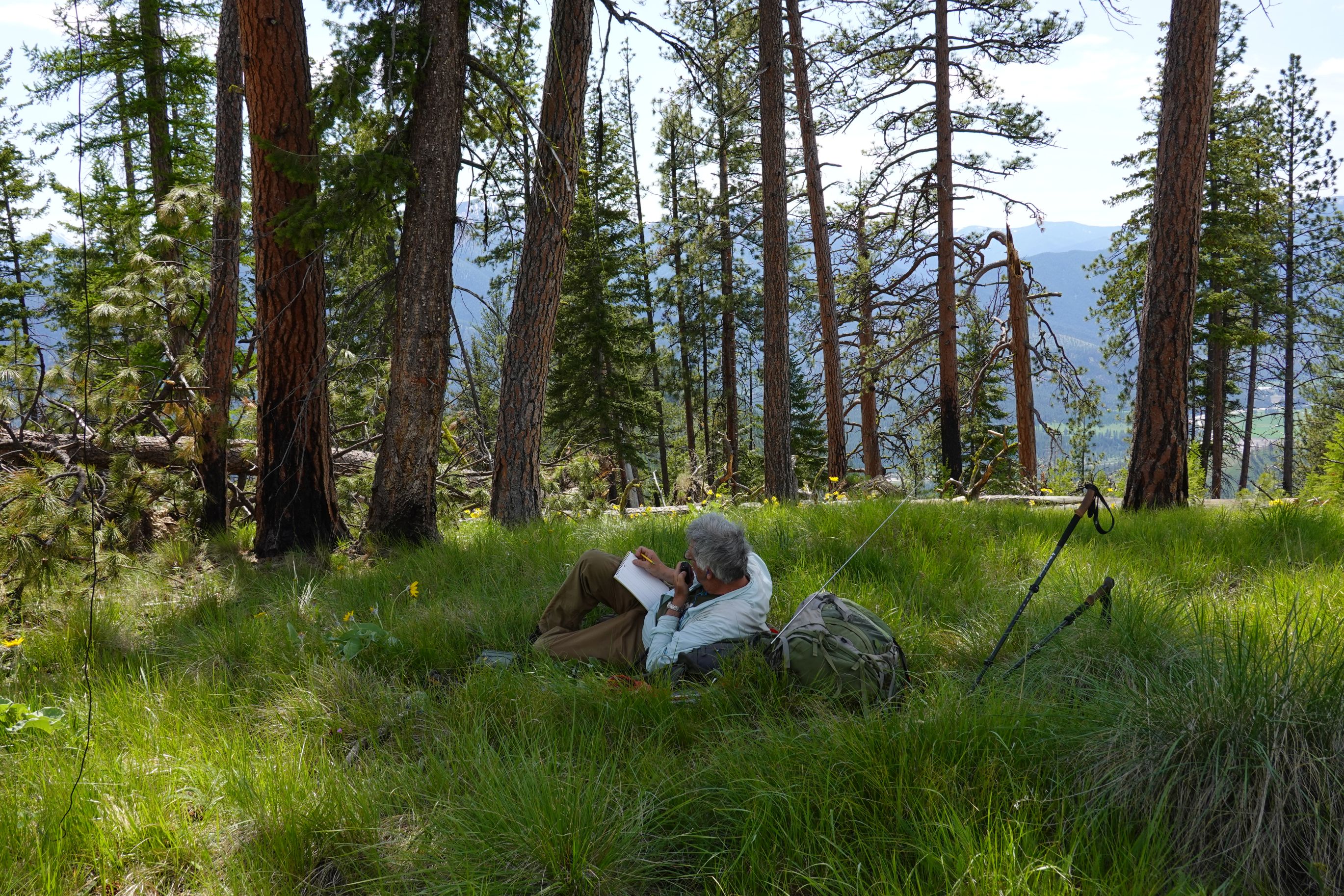
Follow the ridge towards the summit through the 2016 West Mullan burn. The burn was not too difficult to bushwack through in 2026, but there is some deadfall and some thicker regen – particularly to the west. Note that you will be approaching an unfenced private property boundary as you ascend the ridge. It is advisable to have this boundary marked on a gps so that you may avoid it. The edge of the thick regen on the west side of the ridge is (barely) on public land, so if you stay close to this, you should not be trespassing. There are at least two yellow signed “Land Survey Monument” trees and a “Bearing Tree” that are proximal to the property corner. It is a straight shot to the summit without any private property worries once you round the bearing tree on the west side. The summit is a pleasant open forest with moderately decent views.