This SOTA summit is named after the male donkey. And if well trained, it would've been nice to have had one along on this trip.
Access the jeep trail along Frenchglen Highway 205 is here: 42.91903, -118.88723. You're within BLM land after under 100m, and for the rest of the trek. There was no gate to enter.
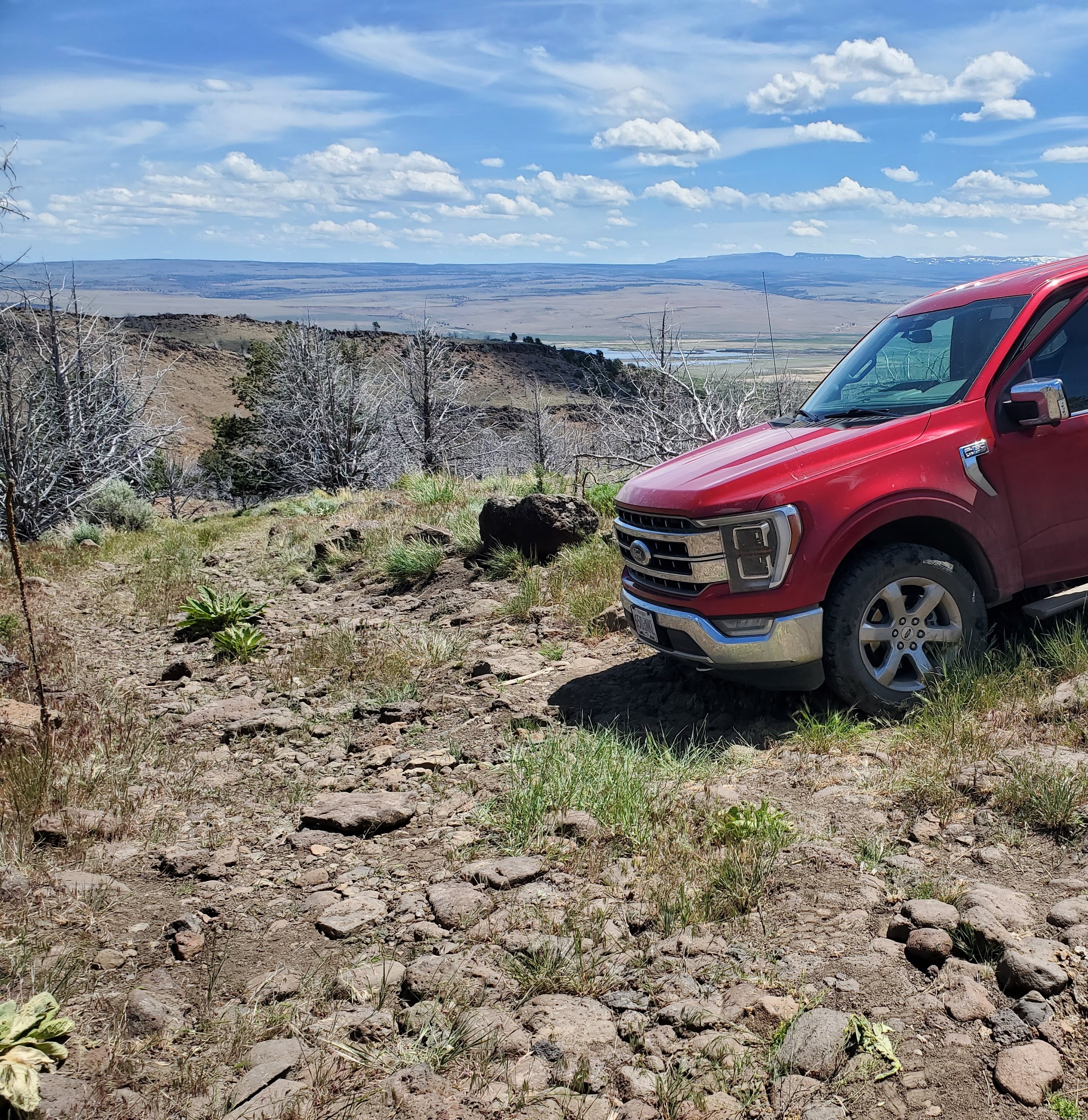
I drove a 4WD F-150 for 1.6 miles until the road crossed a dry creek bed and started climbing. A Jeep with big rock crawl tires would've made it the full 2.3 miles from the road to the top of the first plateau. I found a place to back off the road and turn around (42.90441, -118.90941). I continued the final 0.7 miles up to the first plateau the on foot (too many large rocks for the eMTB).
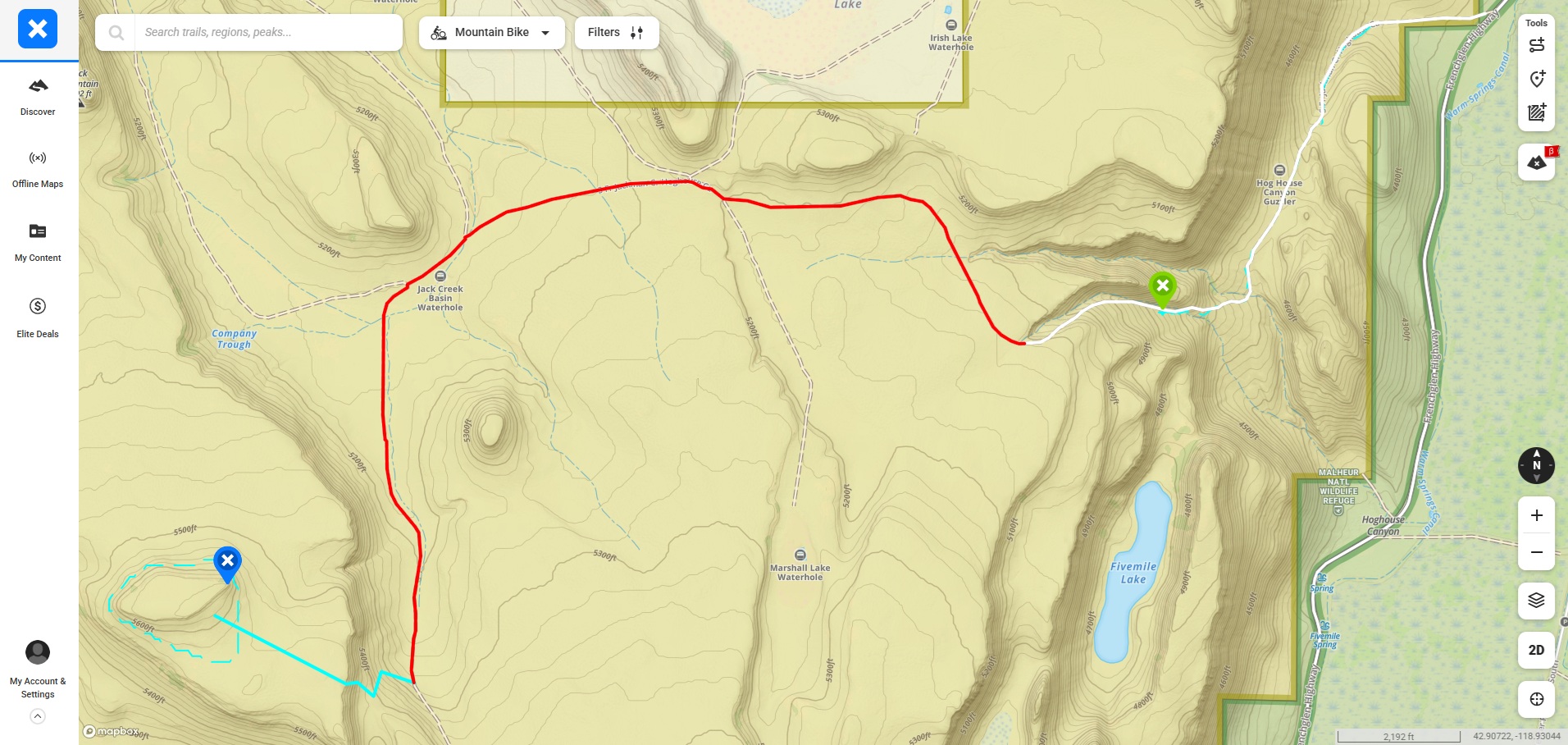
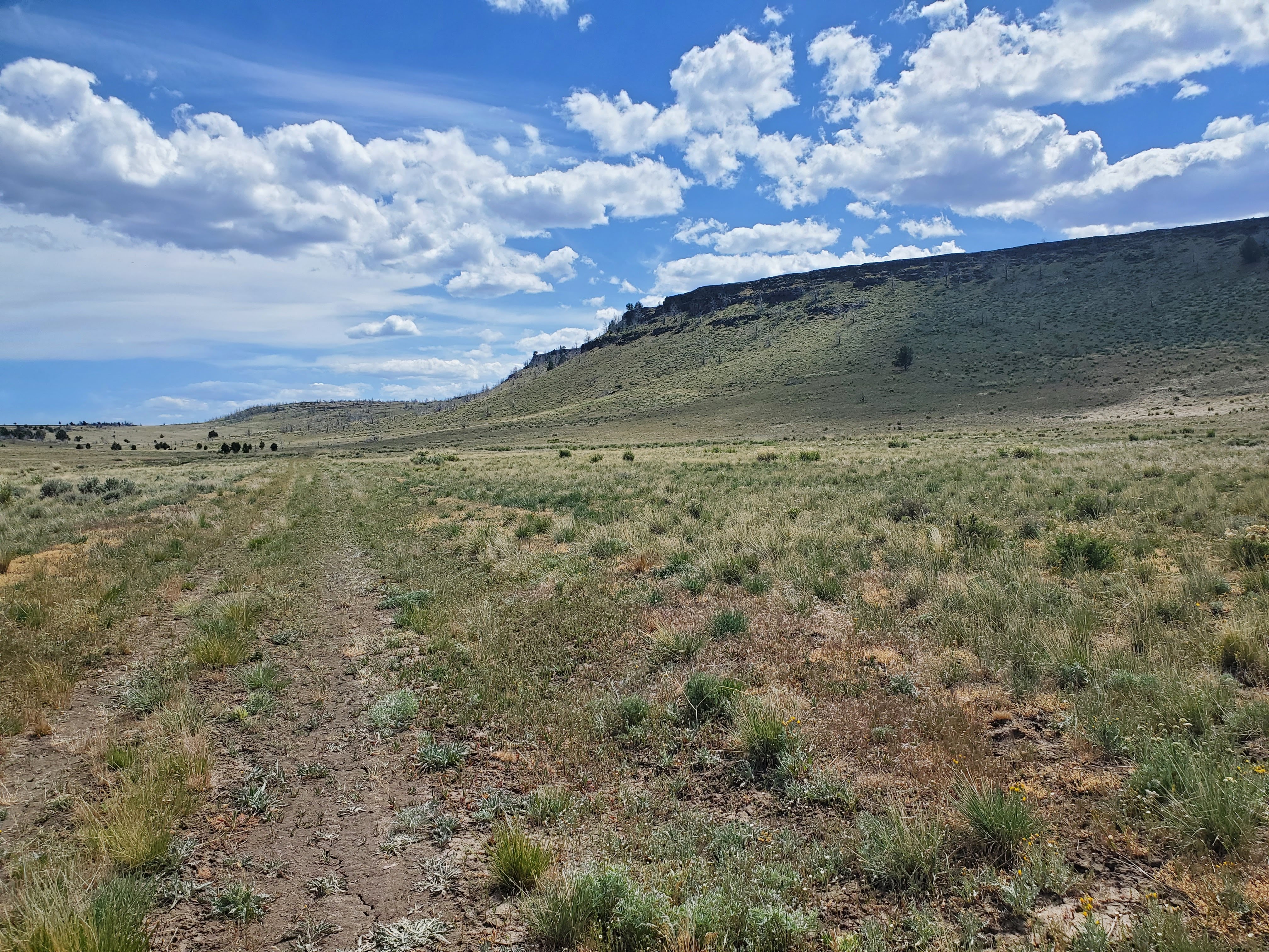
Upon reaching the plateau (the first of three), it's another 3.9 miles along a relatively easy to follow dirt road to the second plateau (shown as a red path in the map below). This will take you across the high prairie, through three barbed wire fence gates (which can be difficult to close), and past Jack Creek Basin Waterhole (which had water ducks, 42.90594, -118.95753). I passed the carcass of a dead cow on the way.
My climb of the second plateau started here: 42.88621, -118.95927. I ditched the bike and hiked up to the rim (the blue path in the map below). No major technical climbing was necessary when I picked the right path. On the rocks at the top I was encountered a rattlesnake. Photo on request.
The climb from the dirt road to the rattler and across the second plateau to the third plateau (which contains the SOTA summit) is another 0.8 miles.
The third and final SOTA plateau is relatively low, so the AZ extends well below the rim. Since there were plenty of Juniper trees on the SE slope I did my activation from there.
The return to the highway was without event.
Of the total of 7 miles, 6.2 could be driven, given a better vehicle or more guts.
Note: Snow was substantially lighter than normal this year.