
TL;DR: Trailhead for a good "trail" to the AZ: 45.79083, -122.17261
Activation Reports

Submitted by K7WXW on
Summit:
Summary - This is an easy climb up a series of switchbacks cemented to the side of the basalt plug that is Beacon Rock. Given the proximity to Vancouver and Portland, the short hike, and the fabulous view, this is a very popular destination. For uninterrupted operating time you'll want to combine arriving early, bad weather, and mid-week day. HF operation is possible, 2M contacts are easy, APRS and phone service are good. Parking requires a Washington Discover Pass or a ten buck day pass.

Submitted by AG7GP on
Summit:
I left with not much ambition and the day wasn't really looking good. Lots of fog. We went to Arnold (not sure what's with the different name on maps vs SOTA), very early with the plan to also do Whisky, which we did. Arnold is an old mining area with cabin, shelters, outhouse, etc. It is still claimed as far as I know. It is a really neat place and I hope to go back and maybe camp for a day to explore more. Be sure to take a peek in the cabin if you can.
Submitted by AG7GP on
Summit:
Whisky is a fun hike up a rocky trail to where there used to be a lookout and still are remnants of it and other buildings including the outhouse. I had never seen a lookout built so close to the edges of the mountain. Two sides of the foundation basically came to the edge that to get to the far side of the lookout you would have to go through it when it was standing. Some of the best views of Red Buttes and the wilderness, and beyond. 360 view.It was very windy when I was there so I set up a little below, near a pile of rubble for a bit more elbow room.
Submitted by AG7GP on
Summit:
Not recommended at all. This was treacherous. I got pretty torn up trying to get through some difficult brush and rocky cliffs. I never made it to the very peak and had to call it good enough because of exhaustion, dangerous drops, being alone etc. I also lost my pole somewhere trying to get through the 10ft tall thickets I am guessing. It was rough. If I every try again I will try a different route and will definitely not do it alone.
de AG7GP
Submitted by AG7GP on
Summit:
I did Condrey the second day of CQP with call K6G, needing to get some walking in after sitting for so long. We were camped a few miles away from it. It is a pretty easy and short hike up from the main road. I went up the SW ridge and it was probably about a mile RT. Nice open summit with great views. Some brush and plenty of rock for an easy set up. If I am in the area again I will probably do Condrey and White same day, they were both very nice summits to hike and activate.
de AG7GP
Submitted by AG7GP on
Summit:
I hiked to White Mountain in a hurry in a race against sundown, we still needed to find a place to pitch a tent for the weekend before CQP started. It was a very pleasant hike and I wish I had more time. Most of the trek is on the PCT until you climb the final 400' up to the peak. The trail is beautiful, well forested and lots of great views and interesting rock formation. White is basically a bare rock mountain to the north consisting of milky green rock, maybe serpentine?, so it is white in appearance from a distance.

Submitted by K7NCM on
Summit:
Before I dive in to the trip report, I want to make the access concerns clear to anyone reading. This summit is part of Cashmere Canyons, a privately-owned wildlife preserve. It is open to the public for hiking, but because its primary purpose is wildlife protection, it has a very short and specific list of allowed activities, and amateur radio is not among them. I am fortunate enough to be friends with the owner so I asked for permission to operate my KX2 here.

Submitted by KK7A on
Summit:
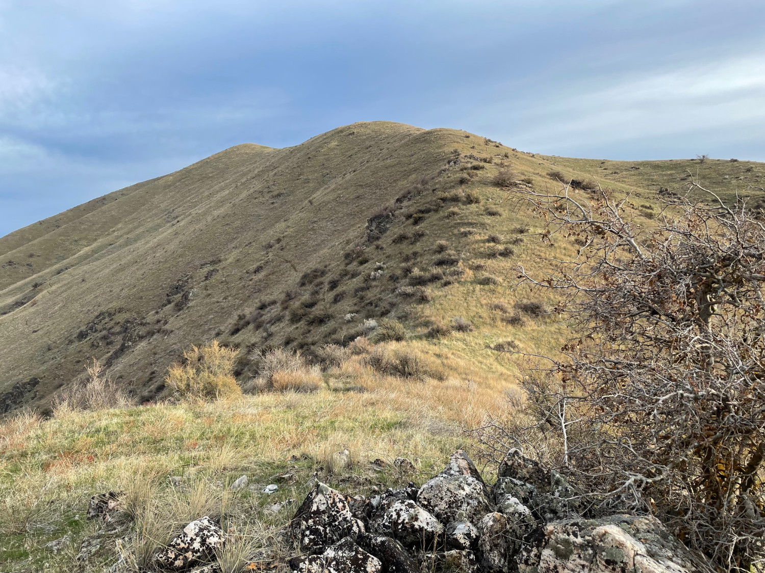
Today was to be my second activation of Mount Maria just north of Horseshoe Bend, Idaho. A different, more direct route up the south ridge was planned.
Submitted by K7WXW on
Summit:
Summary - Red Mountain is an easy two mile, 1400 foot climb from the gate to the summit along a poorly maintained road. There is a lookout tower and a couple of VHF/UHF installations on the open summit. The views are amazing! FSR6048, the road to the summit, is in poor condition but passable with 4WD and clearance. The gate location shown on the USFS maps is incorrect, it is actually at 45.920, -121.824. There is only room for one vehicle near the gate.