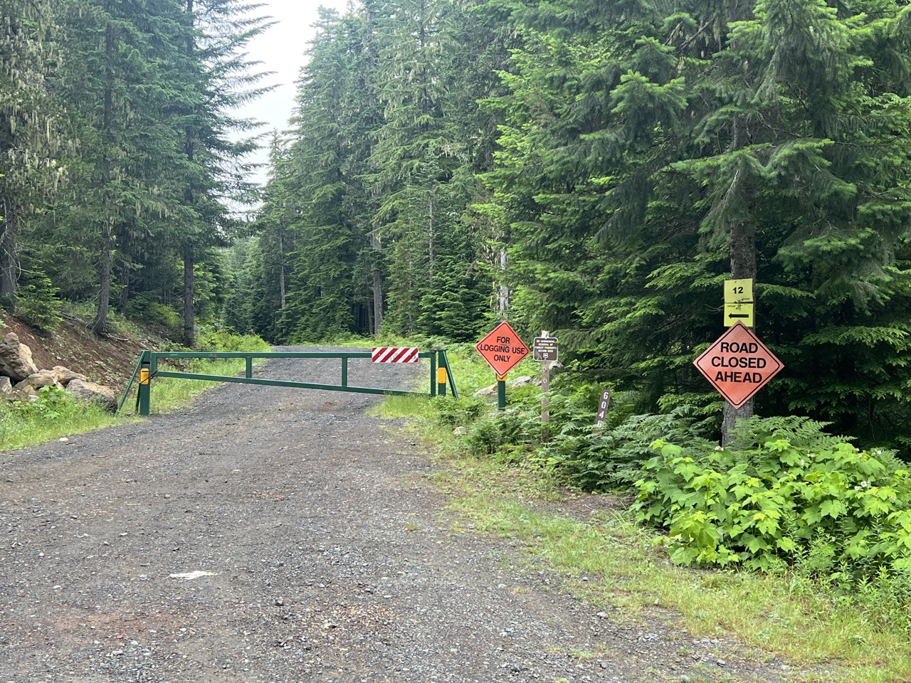
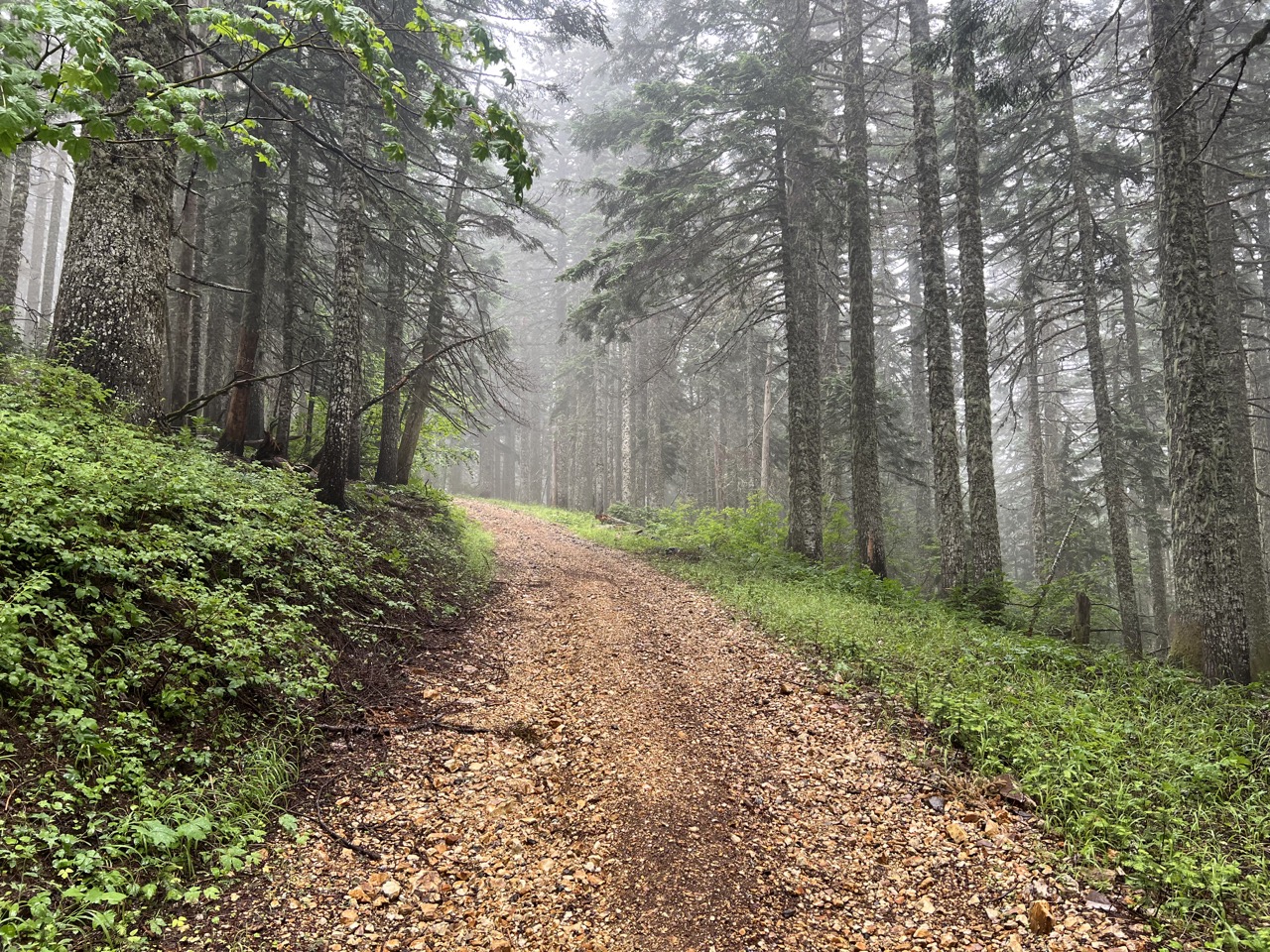
The gate for this trailhead has moved yet again, back to Road 60 (aka Carson Guler Rd). This makes the hike to the summit about 3.5 miles one way, all of it on forest road. Much of the road is covered in crushed rock, presumably to help maintain it for logging truck access.
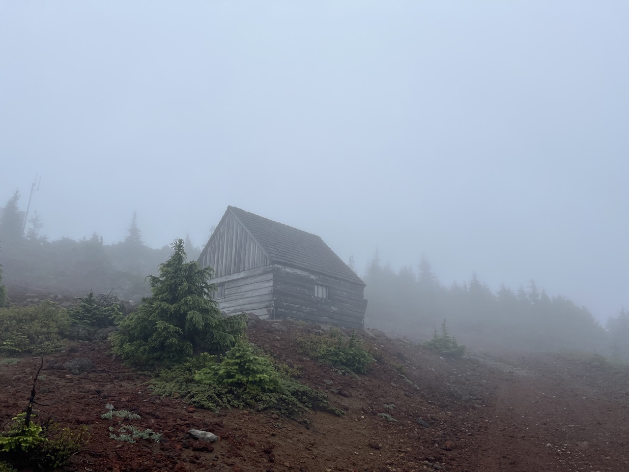
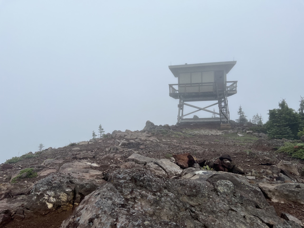
The day I hiked it (29-Jun-2026), the weather at the trailhead was pleasantly overcast. But by the time I reached the summit, I was in the clouds with no view, and the wind was gusting pretty fiercely.
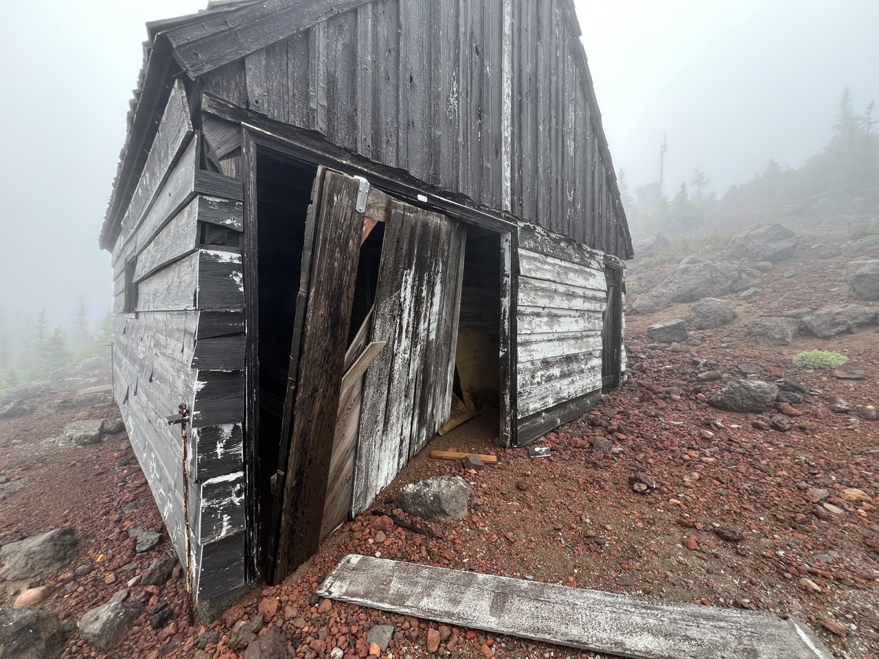
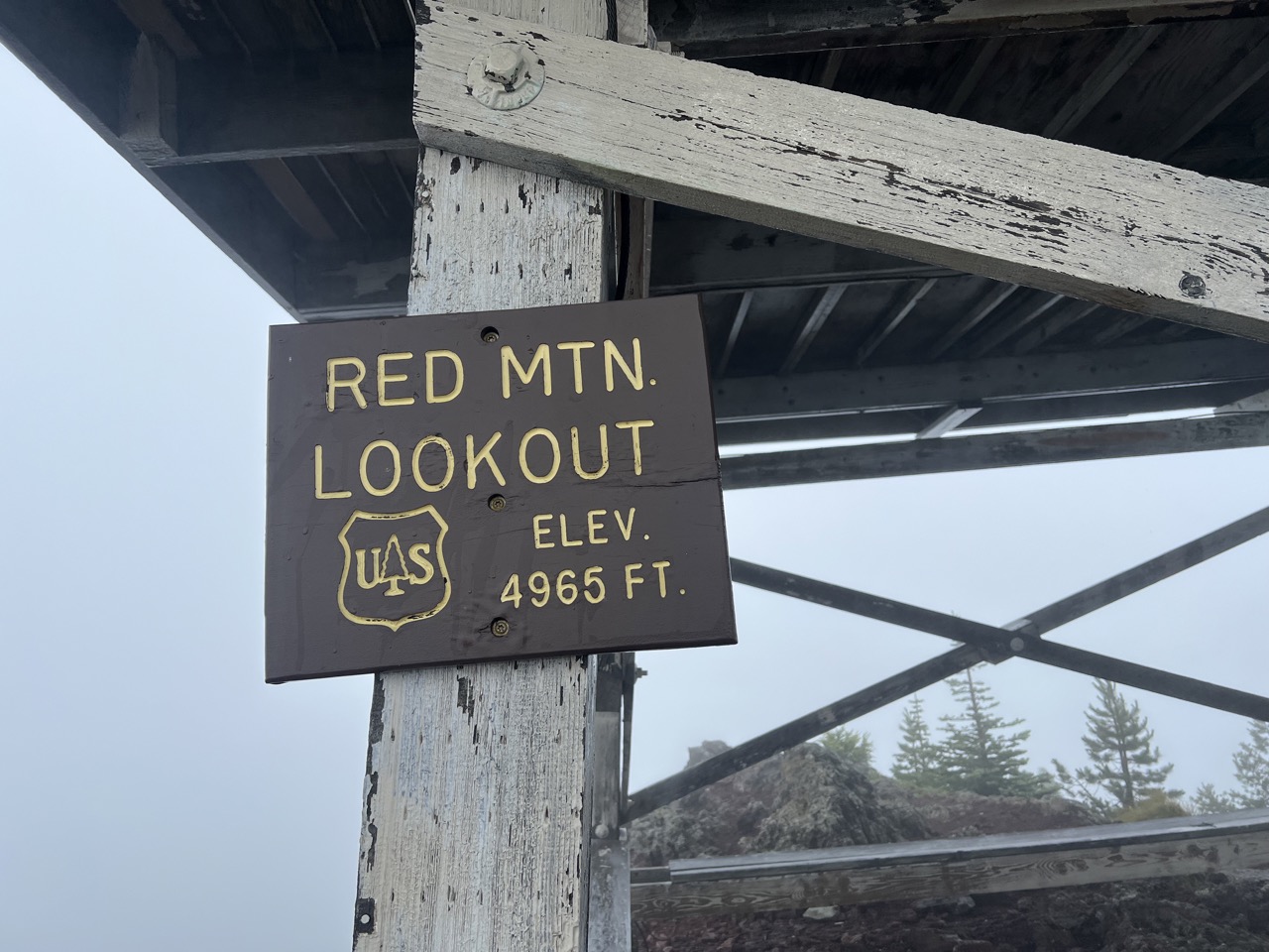
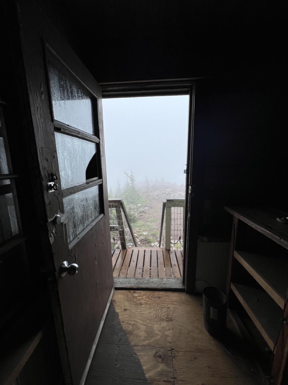
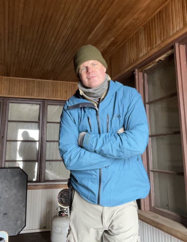
At the top, the lookout tower was open. Although all the windows were still boarded over, the door was unboarded and unlocked. It made for a good place to duck out of the wind.
I first tried 2m FM using a J-pole on a mast with a 5W HT, from the deck of the tower. I only managed one QSO with that, however (thank you, KD7QOW !), into Vancouver, WA. By that point, my fingers were going numb from the cold wind, and I wound up putting on every extra winter layer that I had brought with me.
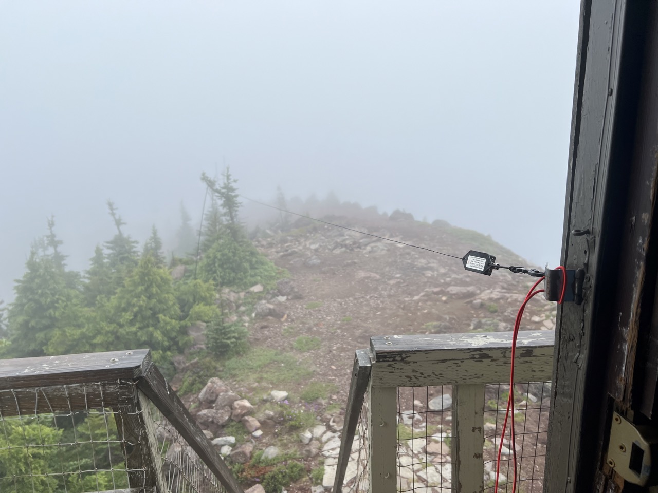
After rigging up an EFHW, I was able to work a bunch of contacts on 20m and 40m SSB and FT8.
Overall, not a bad outing, though I'm sad to have missed getting to see the view from the summit. Next time I venture up to that area, I'm looking forward to getting away from industrial logging roads, and actually hiking in the Indian Heaven Wilderness area (which this hike goes right to the edge of, but not into).