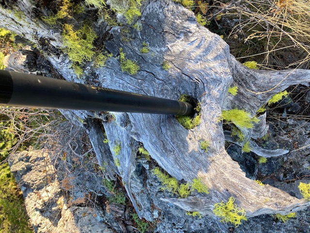
Cedar Springs Mountain is a peak near Grants Pass that is an easy walk from a locked gate, 1.7 miles round trip with 500 feet of elevation gain. There is communications equipment on the summit, but I suffered no RFI because of it. It has a nice operating point with lots of options for stringing antennas including large and small trees and the communications area fence posts. I found an all natural pole support. View is nice, but is blocked a bit by the trees so a bit of walking around is needed to see it all.
The hard part of this one is finding it in the maze of poorly marked roads in the area, complicated because the maps I have don't agree on which roads go through and which do not. Google earth has good images of the roads to take.
Here is some more help:
Take I5 to Azalea exit #88
Go east on Cow Creek Road to Starveout Creek road and turn right onto it.
Starveout Creek Road will turn into Burma Road.
Continue to (42.7405, -123.1741) and turn right onto BLM 32-4-33.1.
Continue on that road, however, doing that is not as obvious as it seems
Some hints:
Bear left at(42.7372, -123.1554)
Right turn at (42.7509, -123.1480)
Bear left (42.7516, -123.1448)
Right turn at (42.7594, -123.1311)
The gate is at (42.7605, -123.1271)
There is room for one vehicle at the gate.
More parking on the main road just after the turn off towards the gate. Traction challenged vehicles should park there.